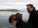
These pictures were taken on a trip to Chilean
Patagonia (Punta Arenas, Puerto Natales, and the Parque Nacional Torres
del Paine) on 2003 February 4th thru 13th with Darren DePoy and Jen
Marshall. We took the trip after a week-long engineering run at the
Cerro Tololo Inter-American Observatory (CTIO) during which we
redeployed the ANDICAM at the 1.3m telescope for the SMARTS consortium,
and installed a new data-taking computer on the OSIRIS IR
imager/spectrometer in advance of its redeployment at the 4.2m SOAR
telescope later this year. Since Jen and Darren had a 4-meter run
a week after the end of the engineering run, rather than return to the
US we stayed in Chile and took a trek to Patagonia.
Click on the thumbnail to view the full-size image, otherwise
Shift+Click to download.
|
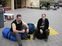
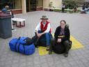
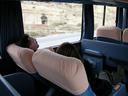
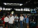
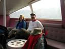
| Feb 4: La Serena to Santiago by Bus |
|
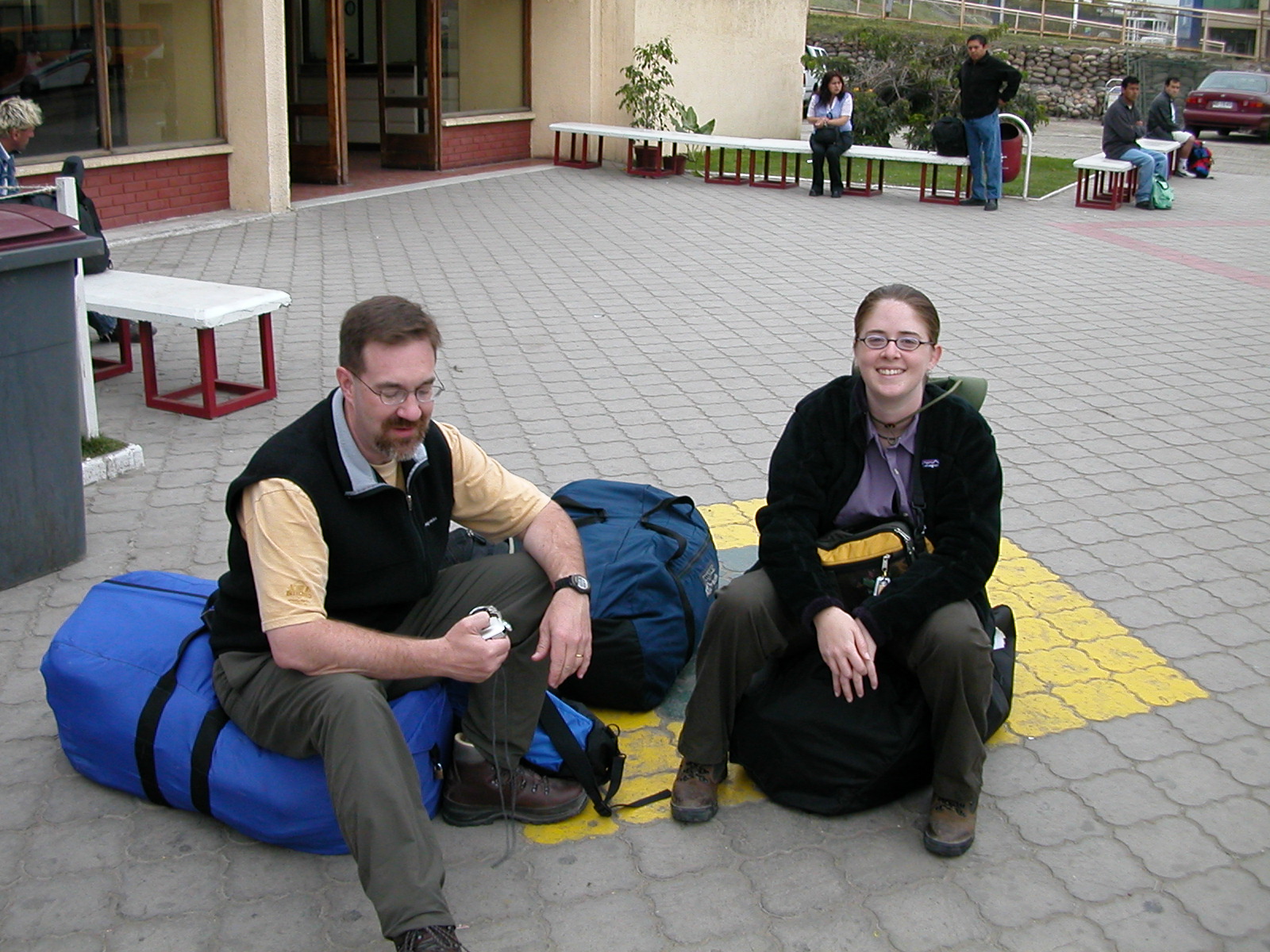
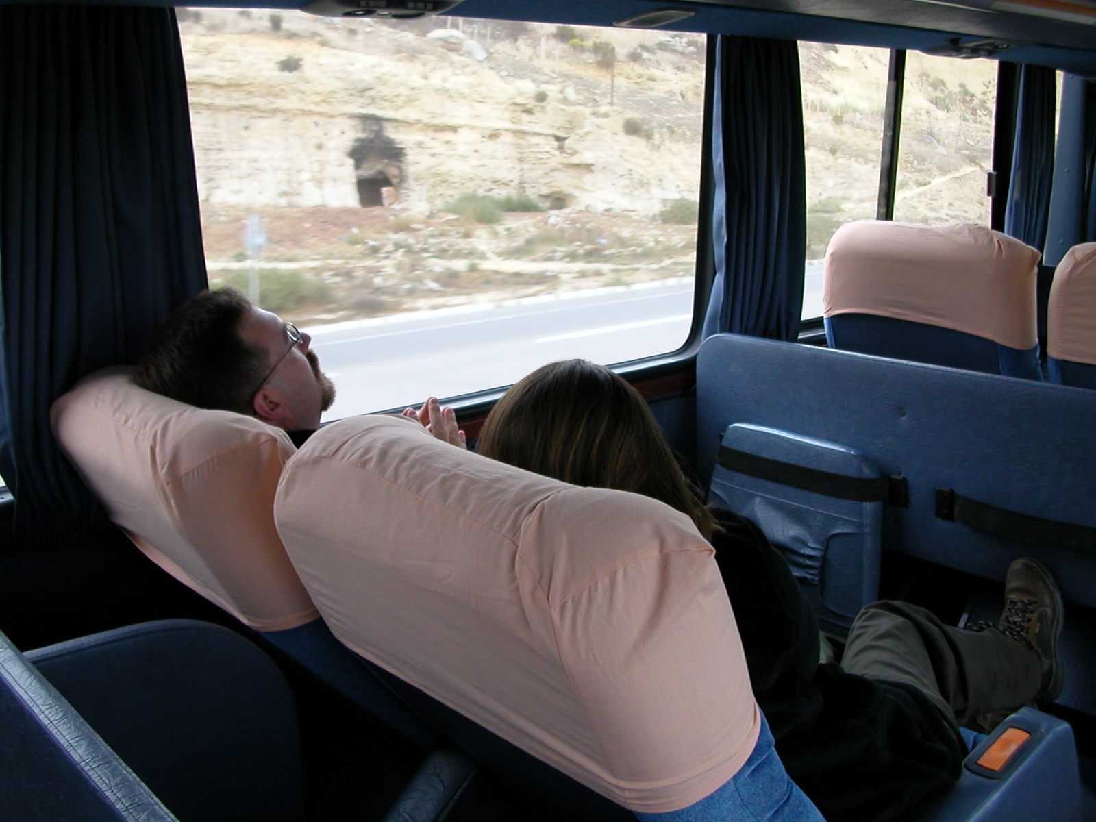
From CTIO we spent the night in La Serena, and next morning took a bus to
Santiago. The bus was a luxurious "Salon Cama Platinum" (no South
American chicken buses for us). 6-odd hours later down the Pan American
Highway we arrived in central Santiago, the capital and largest city
of Chile, on a hot smoggy 90+ degree day.
|
| |
DSCN0342.jpg |
IMG_0202.jpg |
DSCN0343.jpg |

IMG_0203.jpg |
|
|
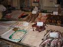
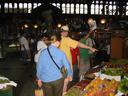
| Feb 5: Santiago de Chile |
|
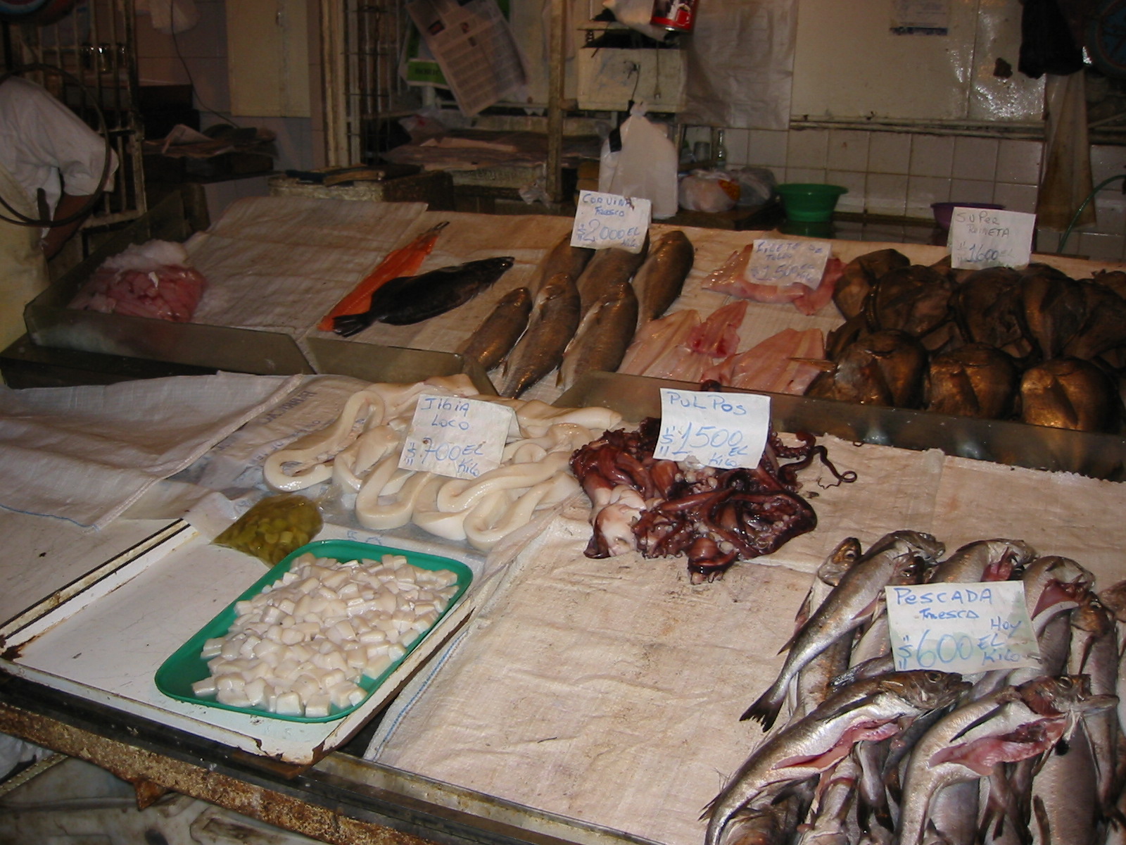
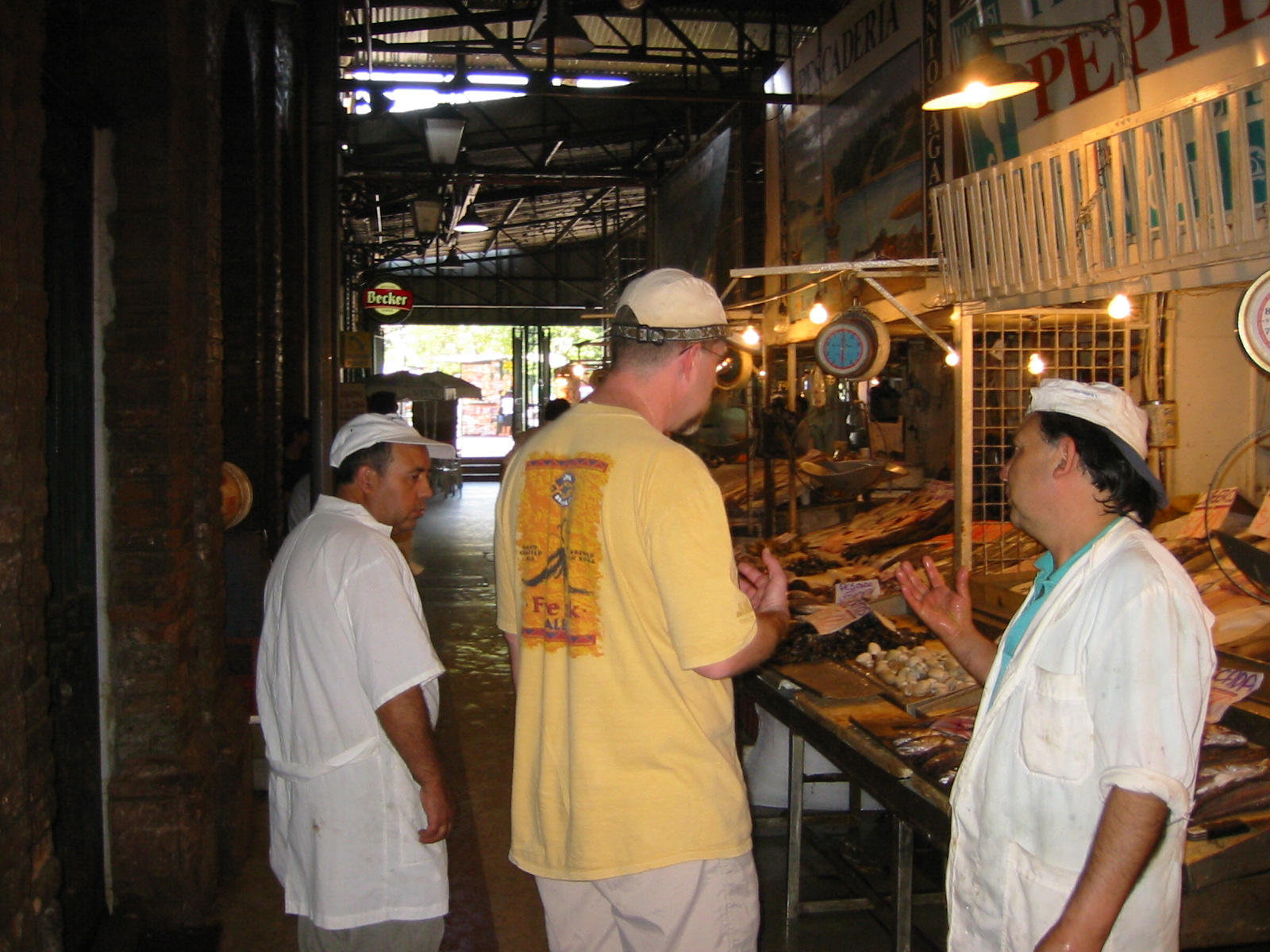
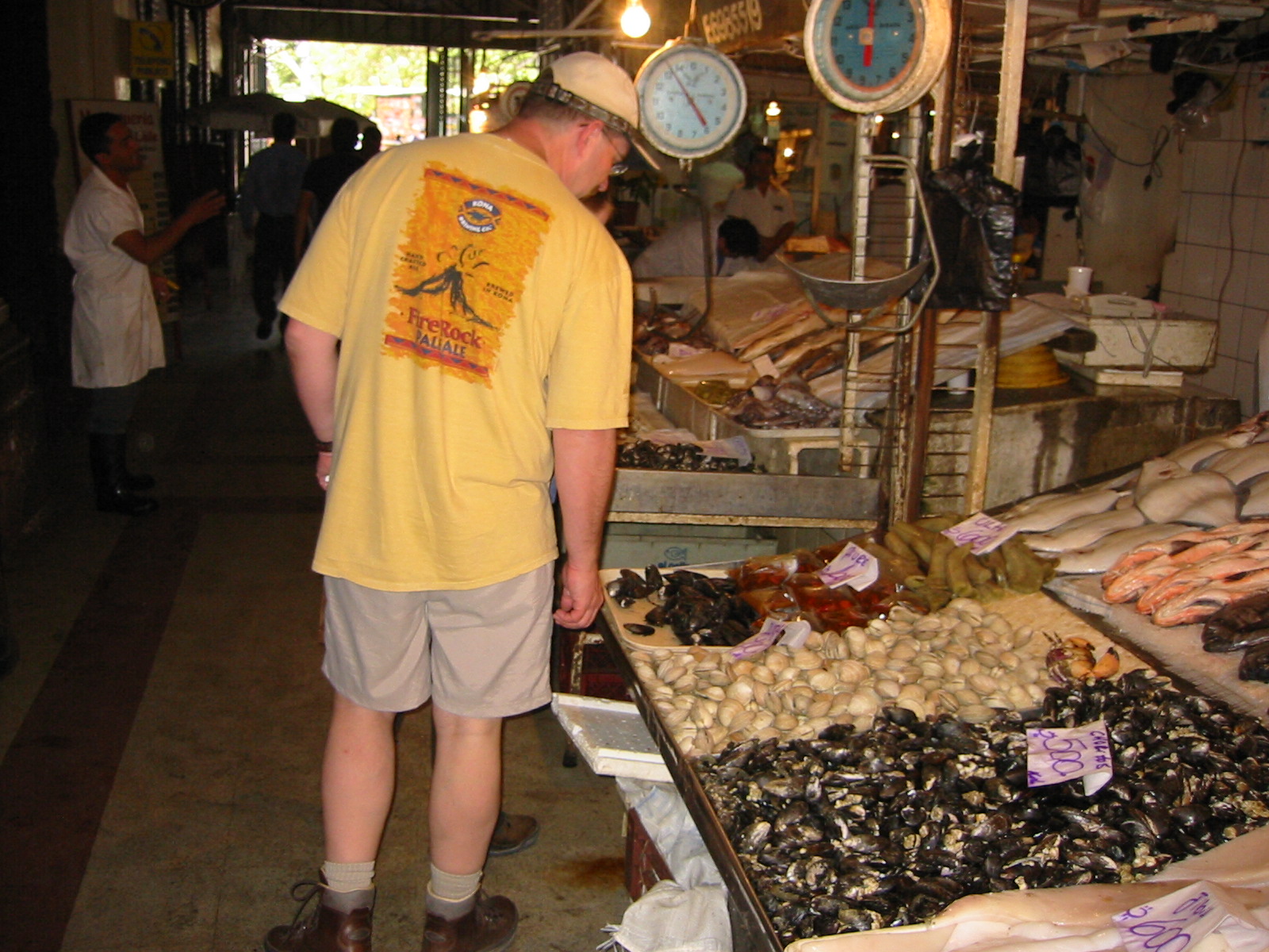
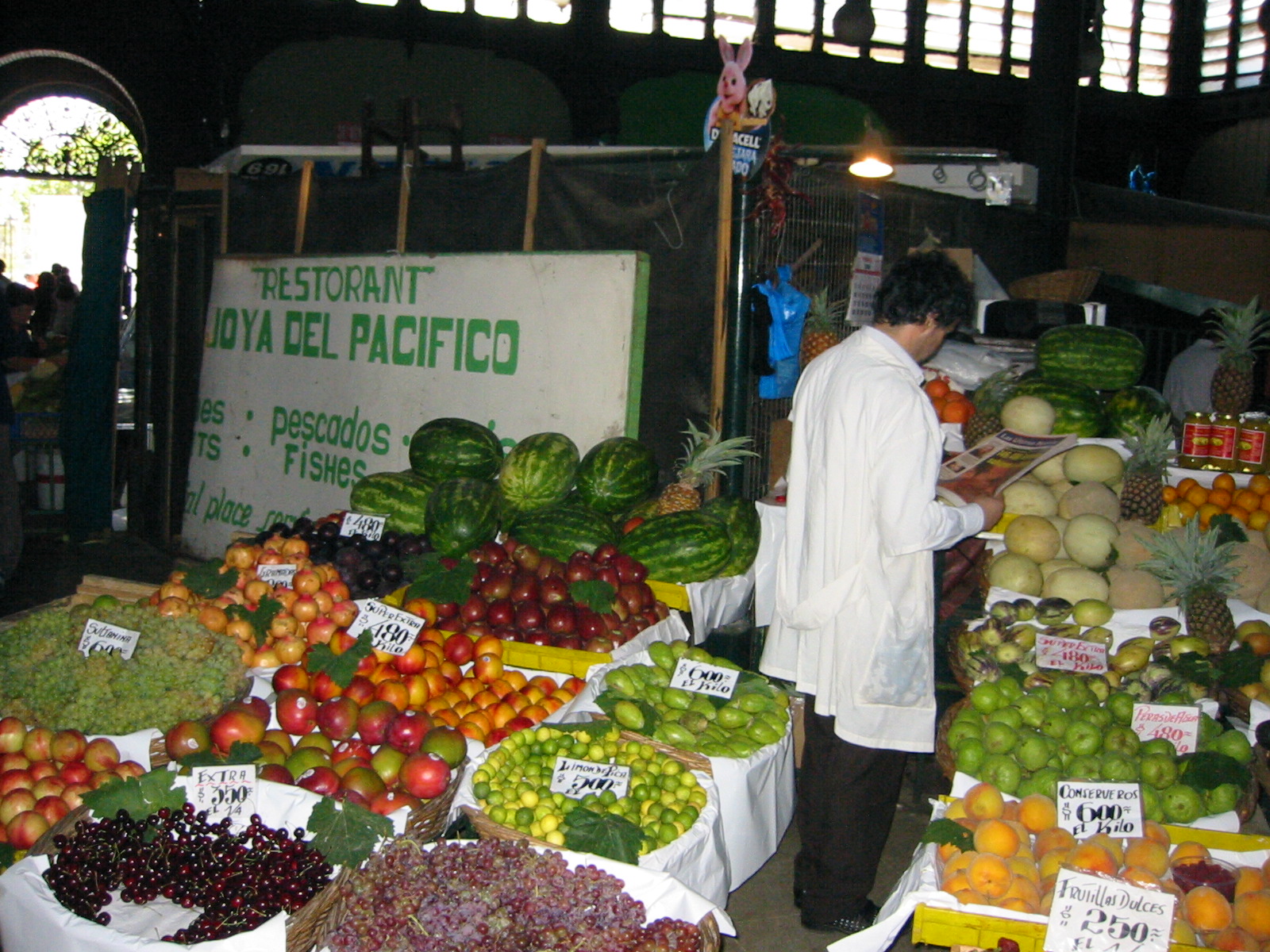
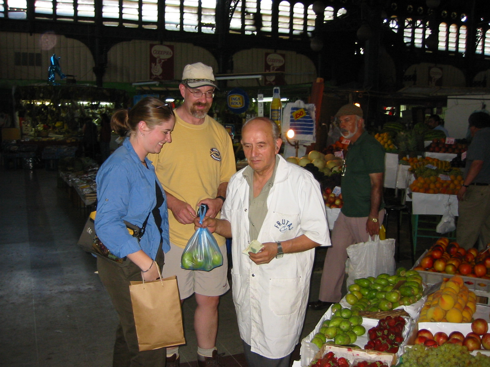
We spent the 5th seeing the sights in Santiago, the most photogenic of
which was the Mercado Central with its fish and vegetable vendors. We
also purchased additional supplies in Santiago and packed our gear in
preparation for our flight to Punta Arenas on the morning of the 6th.
|
| |
IMG_0204.jpg |
IMG_0205.jpg |

IMG_0206.jpg |

IMG_0207.jpg |
IMG_0208.jpg |

IMG_0209.jpg |

IMG_0210.jpg |
IMG_0211.jpg |
| |
|
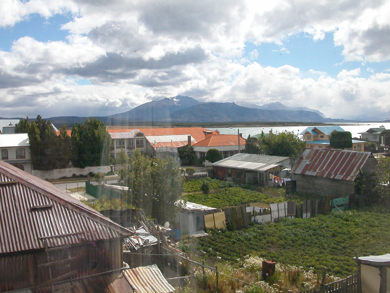
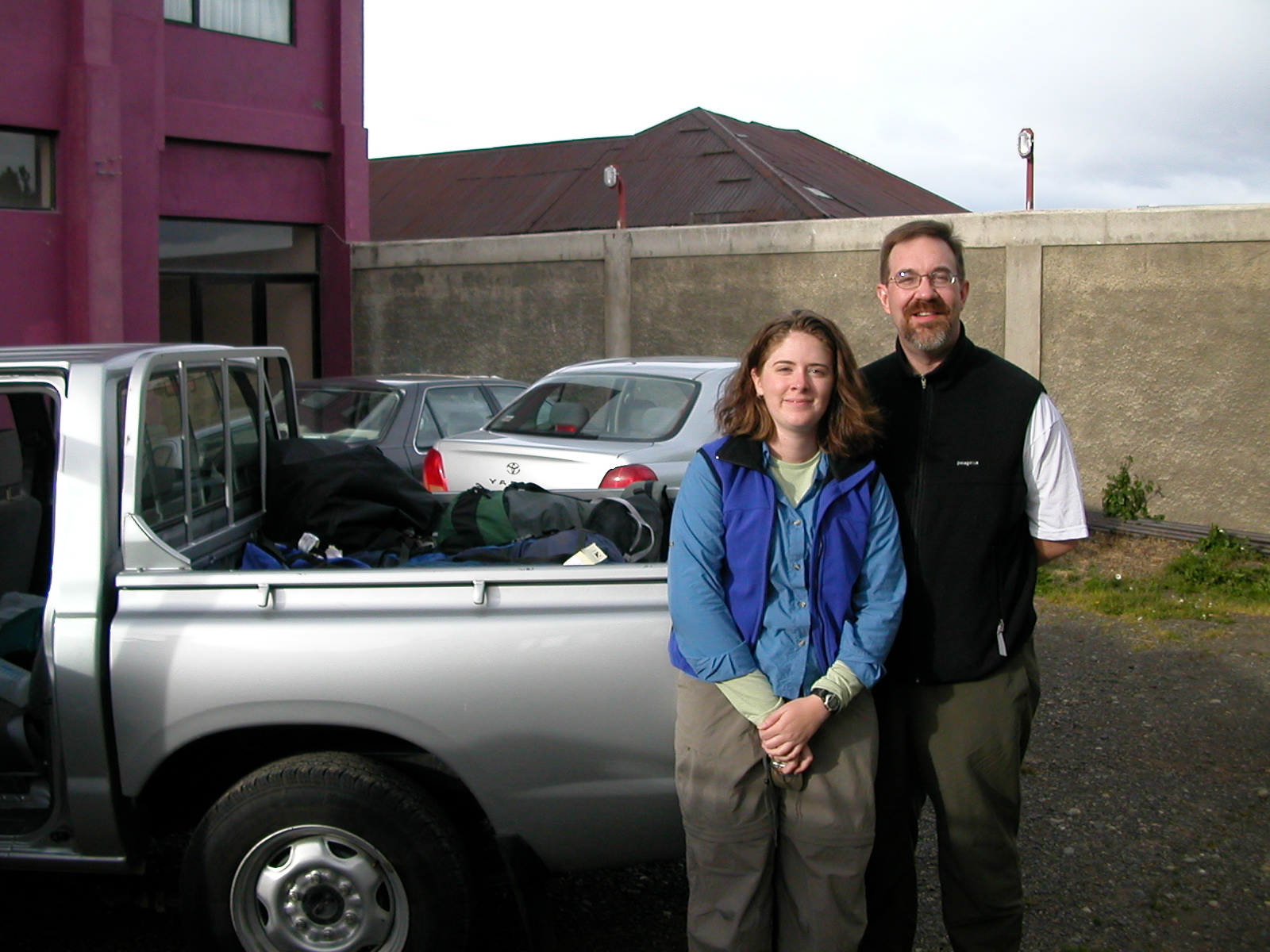
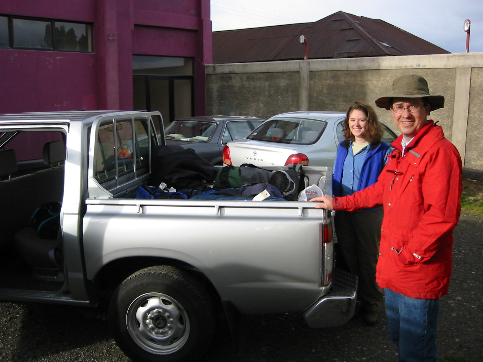
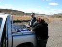
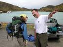
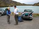
| Feb 6: Punta Arenas to Puerto Natales |
|
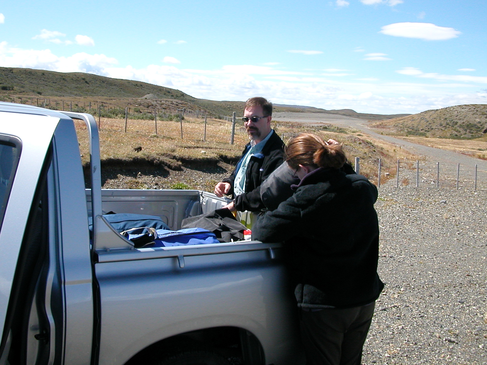
Our flight from Santiago arrived in Punta Arenas on the Straits of
Magellan around noon (after a brief stop in Puerto Montt). It was a
whole lot cooler and very windy. We picked up our rental truck and
immediately drove north to Puerto Natales on the Last Hope Sound (Seno
Ultimaesperanza). We spent the night in Puerto Natales before heading to
Torres del Paine.
|
| |
DSCN0344.jpg |
DSCN0345.jpg |
| | |
|
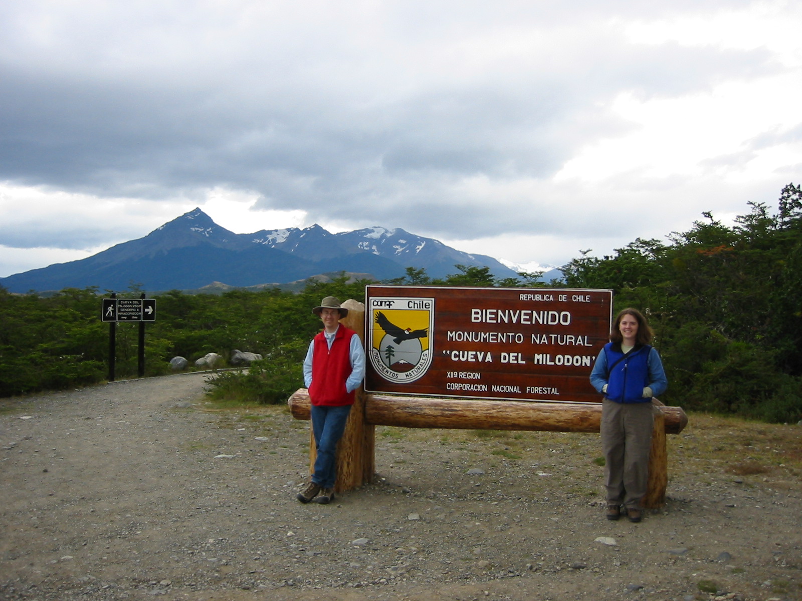
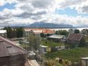
| Feb 7: Puerto Natales to Cueva del Milodon
& Torres del Paine |
|
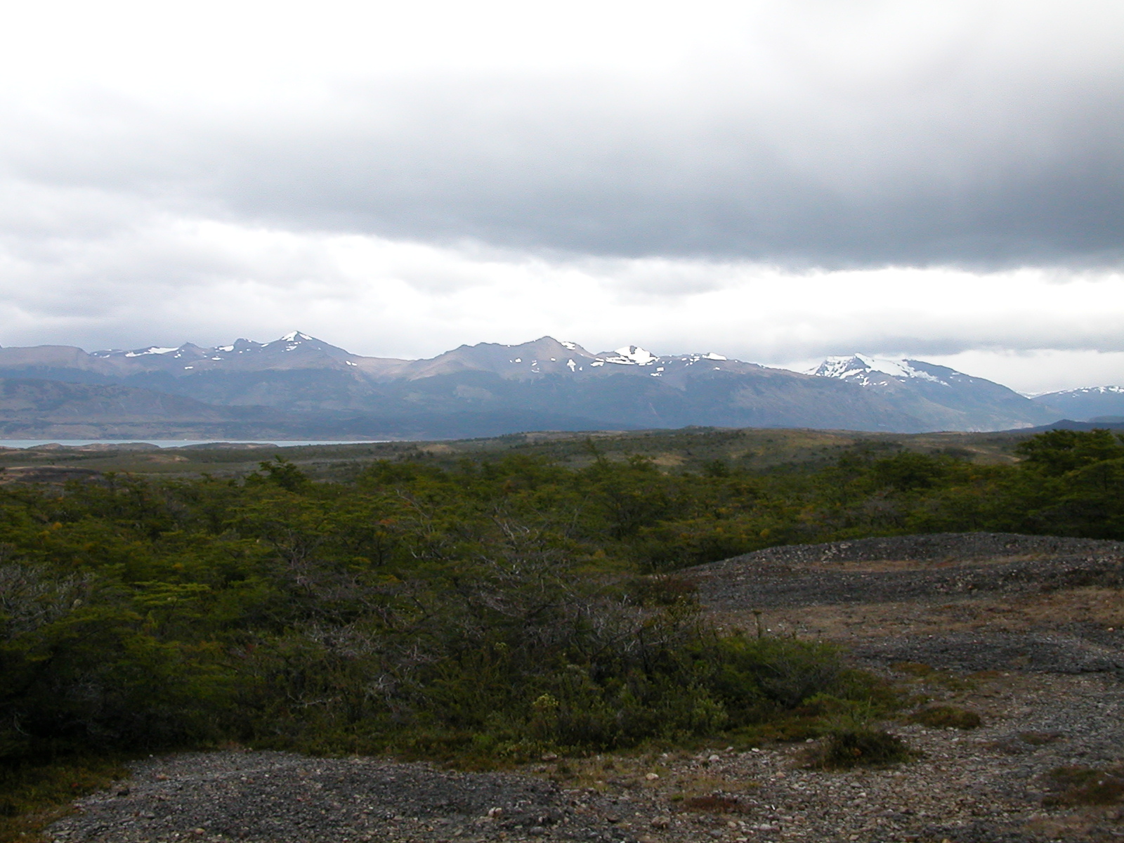
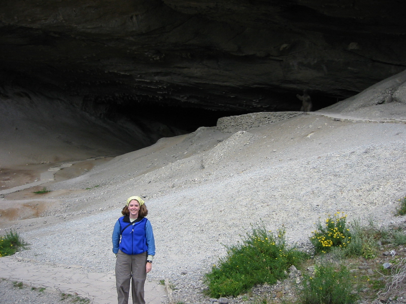
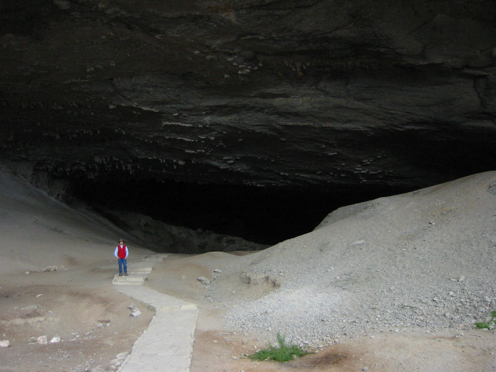
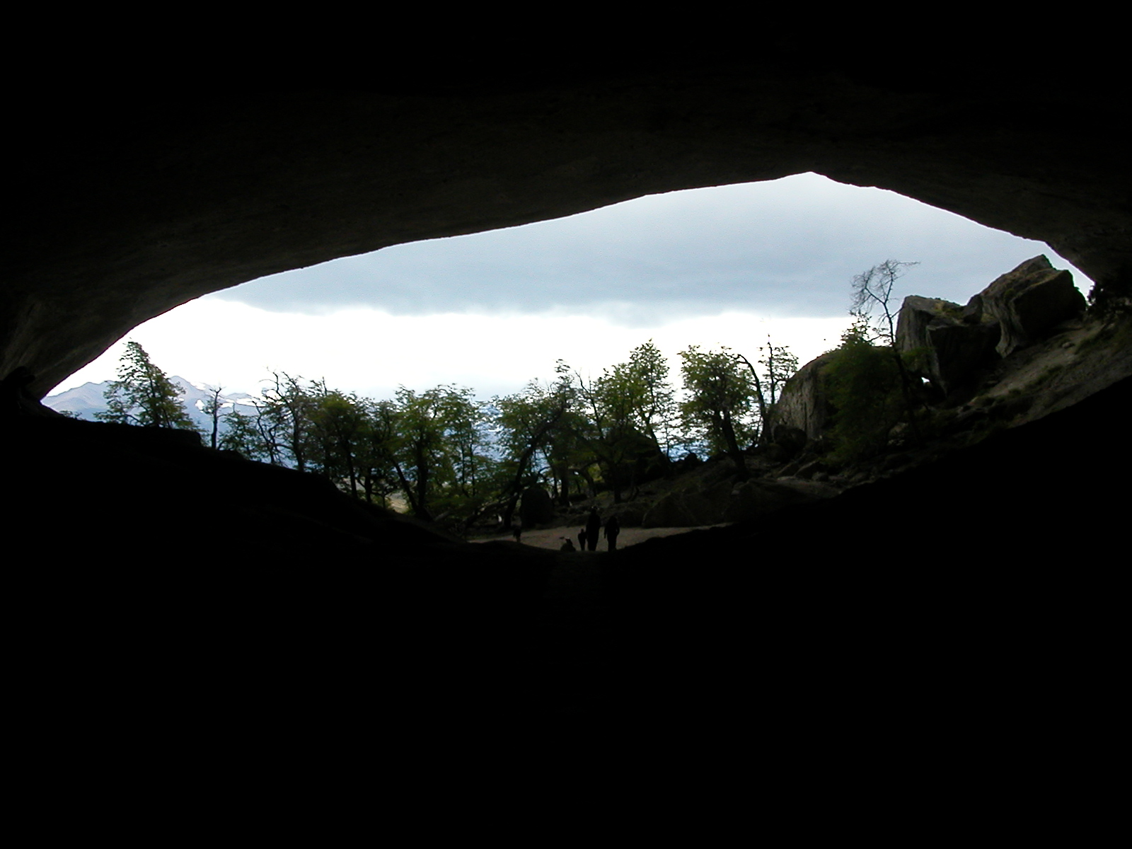
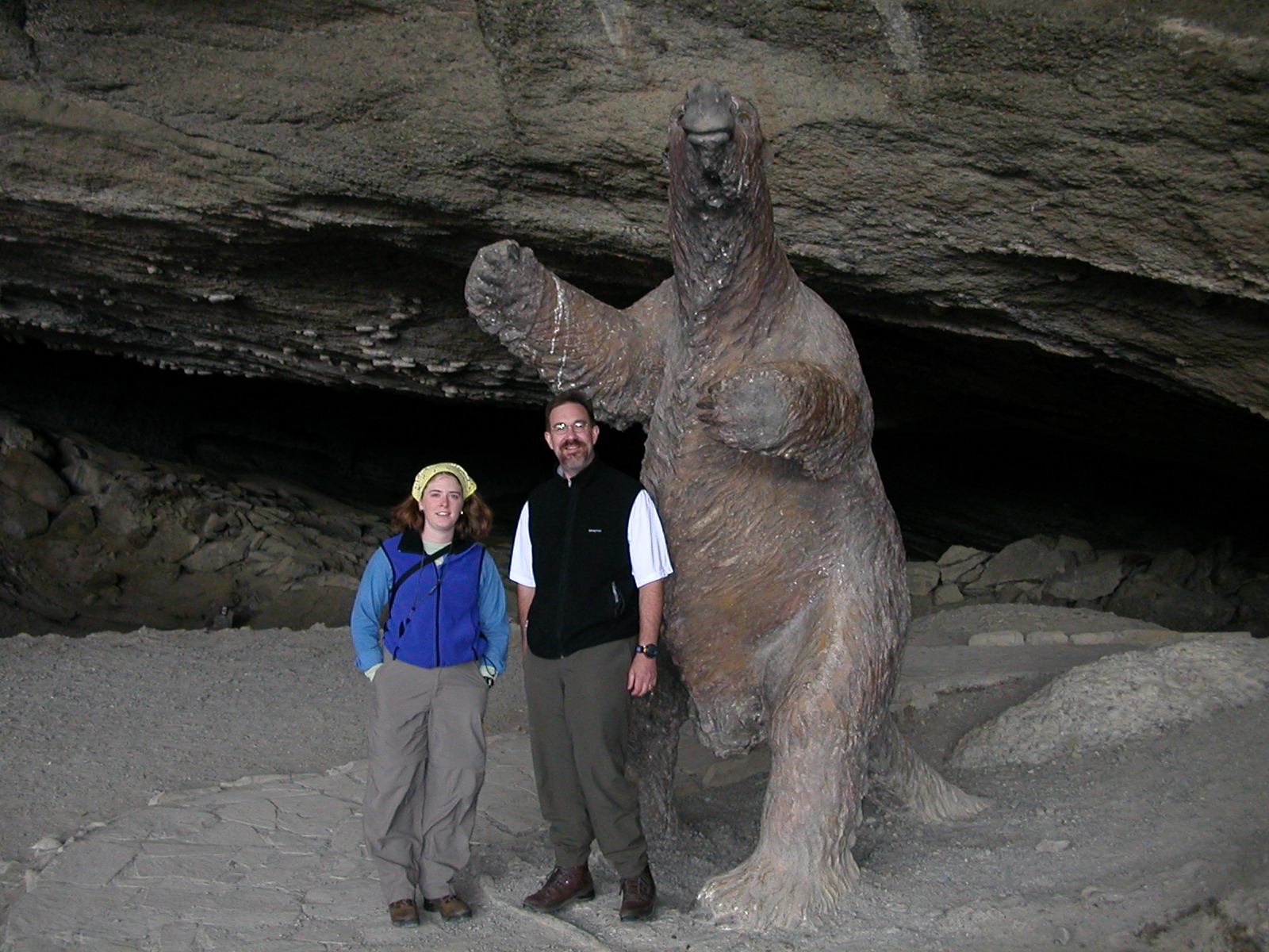
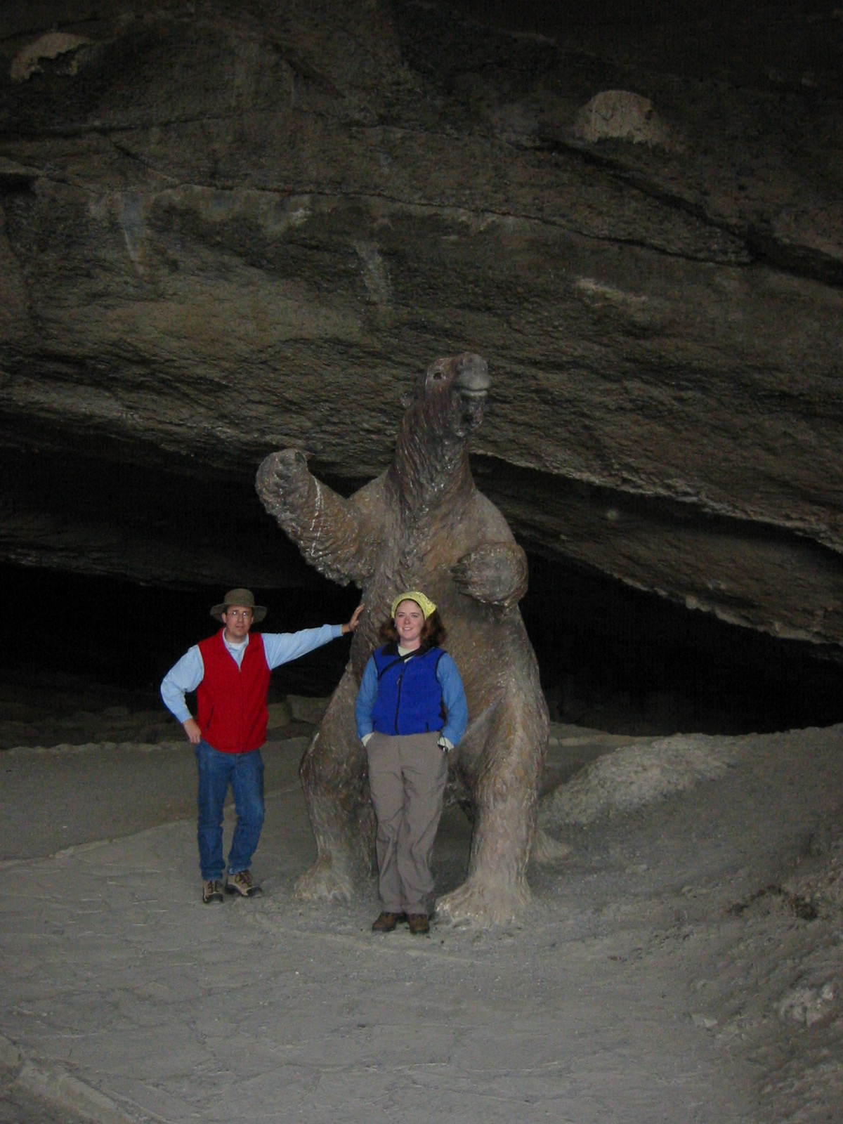
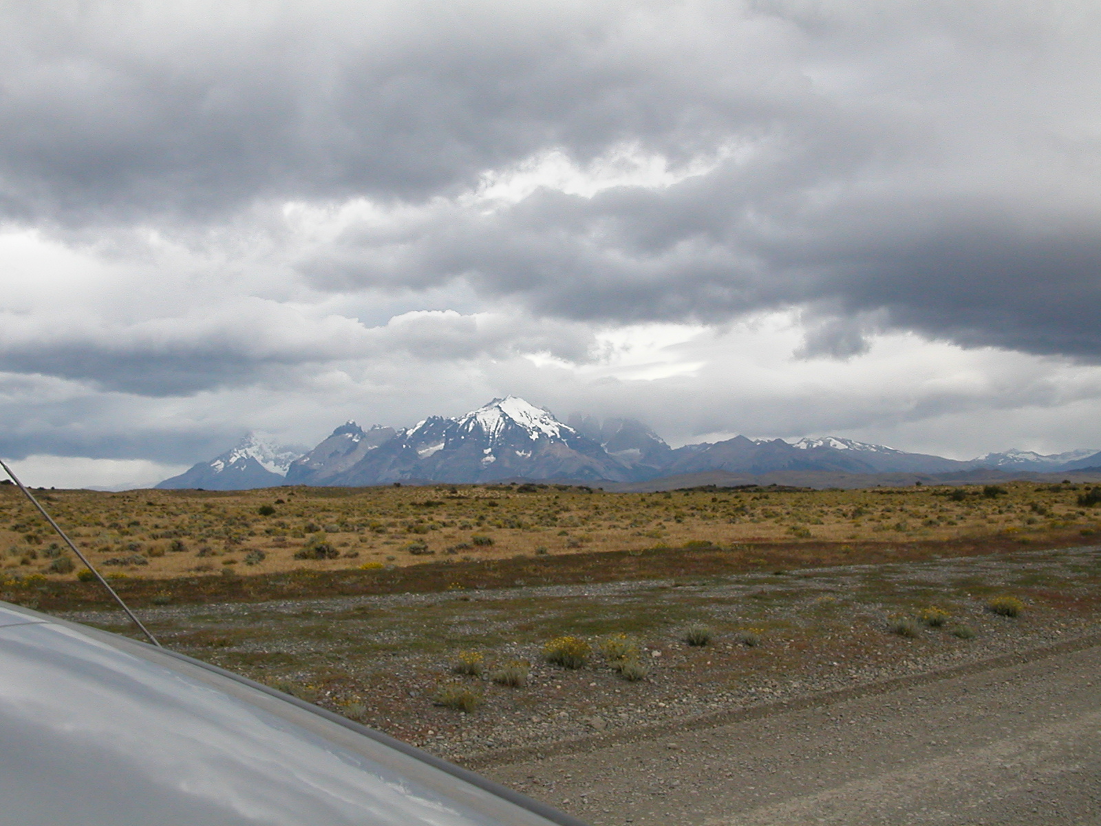
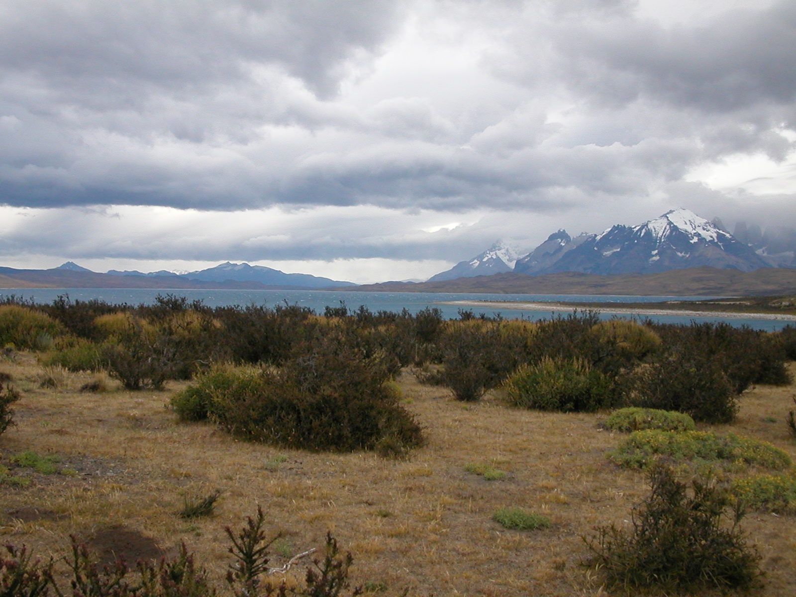
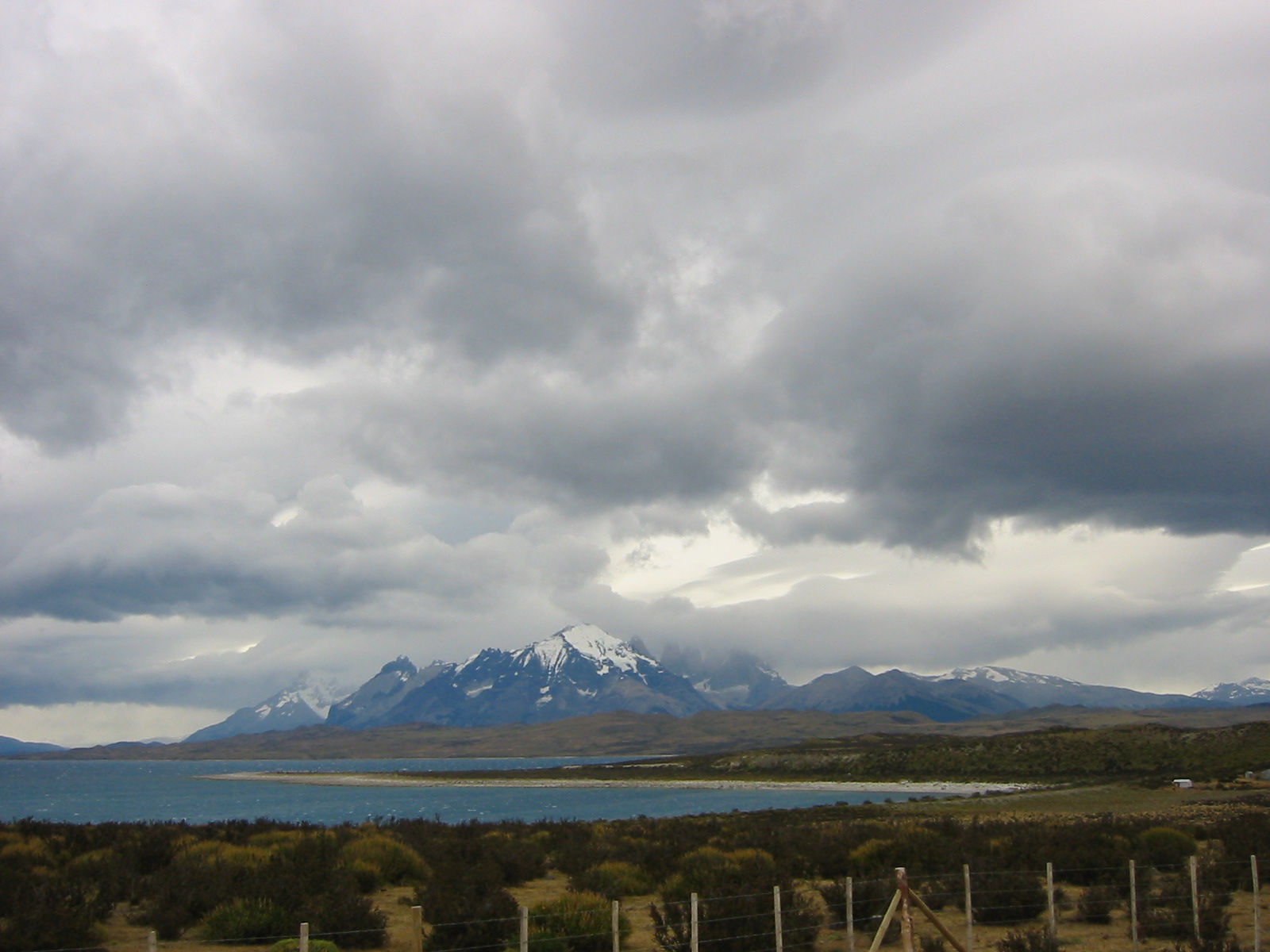
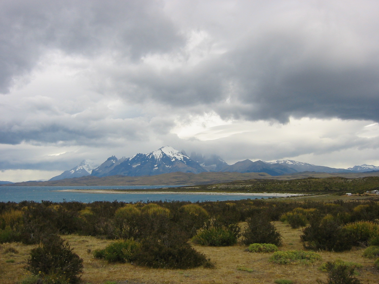
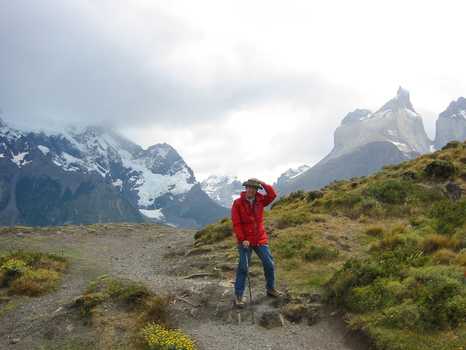
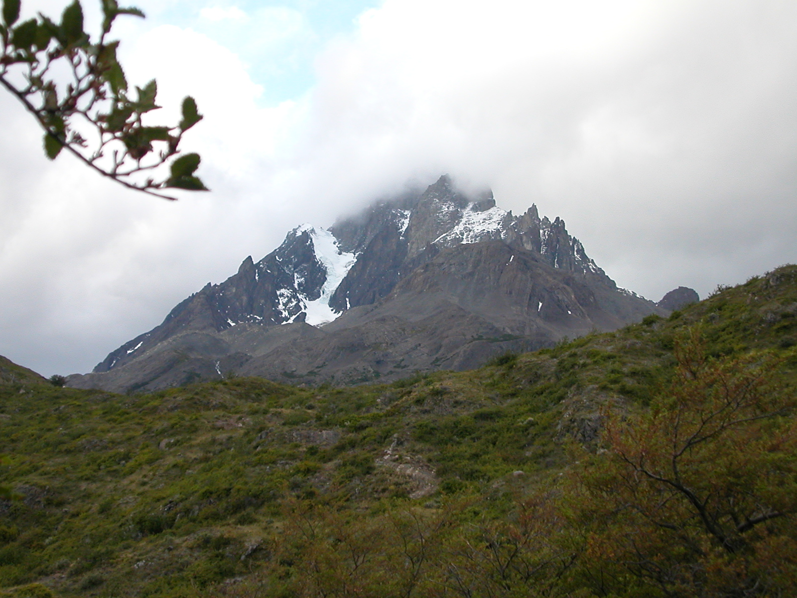
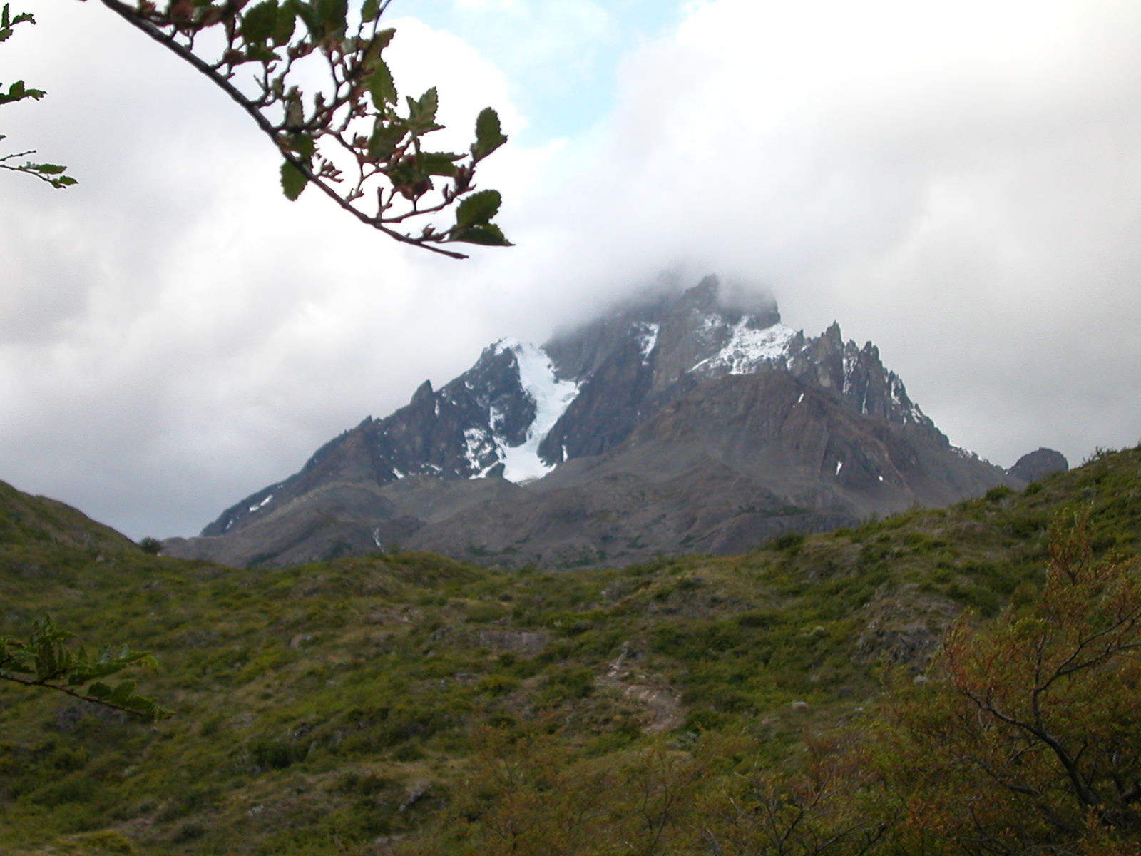
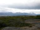
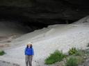
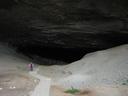
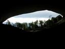
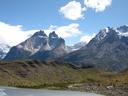
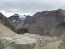
From Puerto Natales we drove to the Parque Nacionale Torres del Paine,
stopping along the way to visit the Cave of the Milodon National
Monument, where Eberhard found a well-preserved skin and droppings of
a Milodon in a cave. The cave is about 30m high and fairly deep, and
was the also home to human settlements some 12,000 years
old (much post-dating the last milodons). From there we drove
into the park under cloudy skies and got our first look at the mountains
in the park.
|
| |

DSCN0346.jpg |

IMG_0212.jpg |
DSCN0347.jpg |
IMG_0213.jpg |
DSCN0348.jpg |
IMG_0214.jpg |
IMG_0215.jpg |
DSCN0349.jpg |

DSCN0350.jpg |
IMG_0216.jpg |

DSCN0351.jpg |

DSCN0352.jpg |
DSCN0353.jpg |
DSCN0354.jpg |
IMG_0217.jpg |

IMG_0218.jpg |
| | | |
|
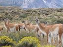
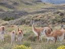
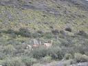
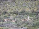
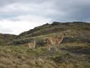
| Feb 7 (cont'd): Guanacos (Torres del Paine) |
|
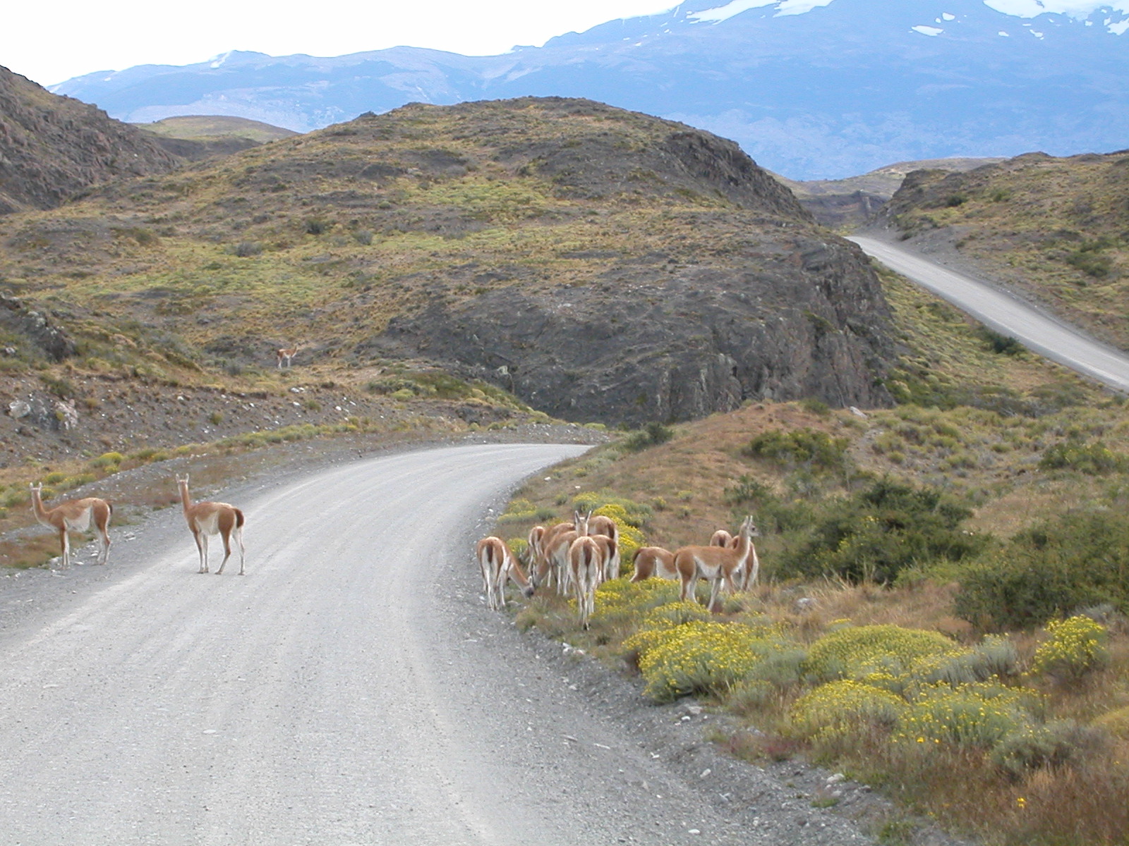
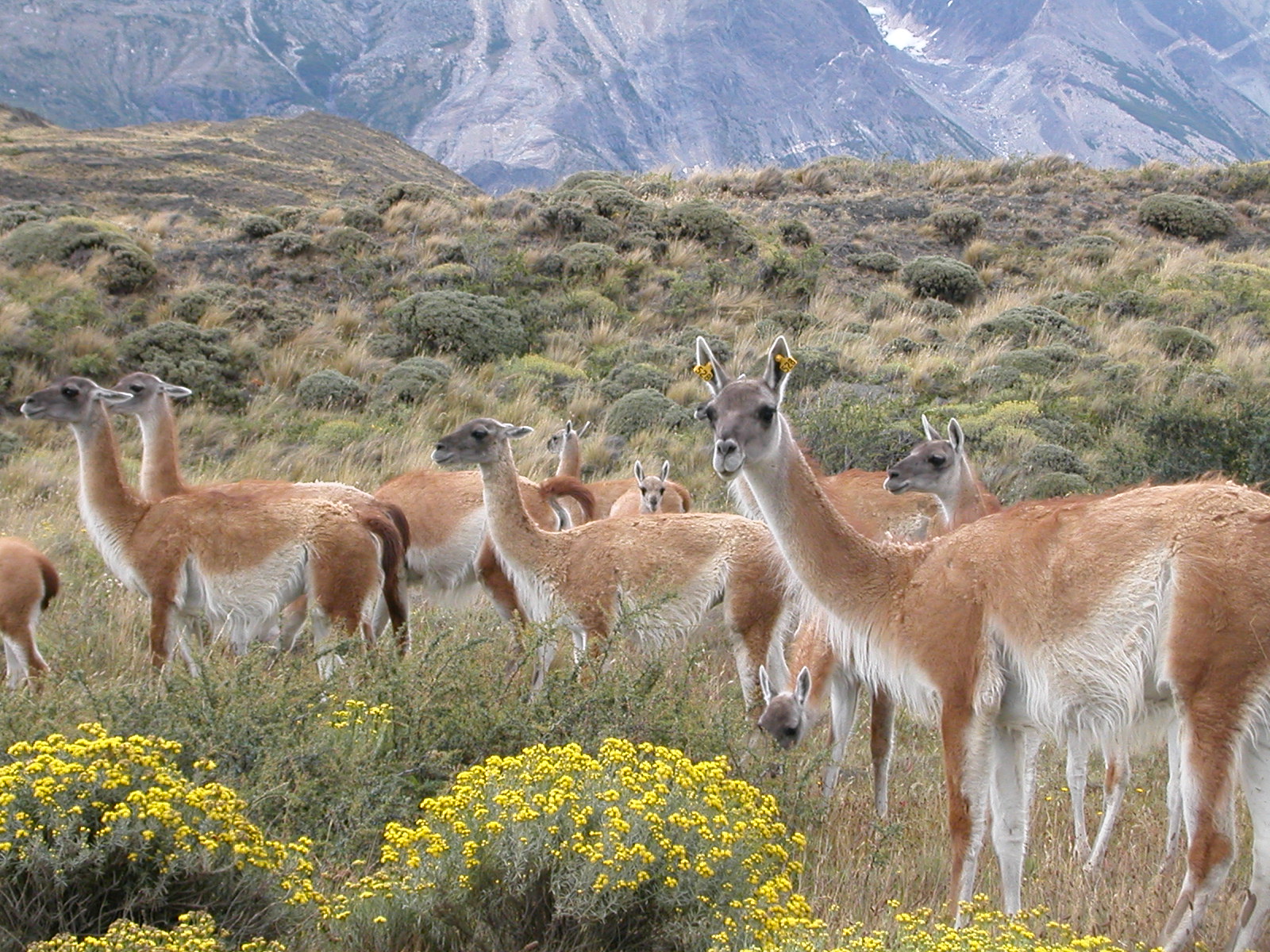
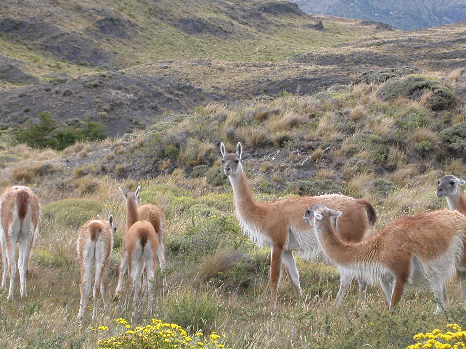
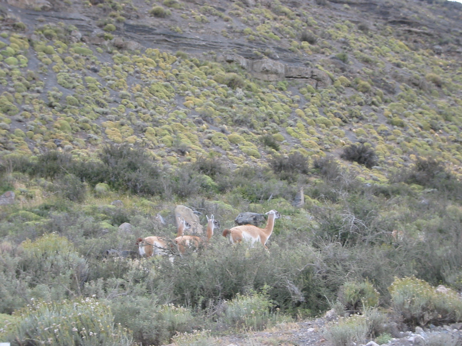
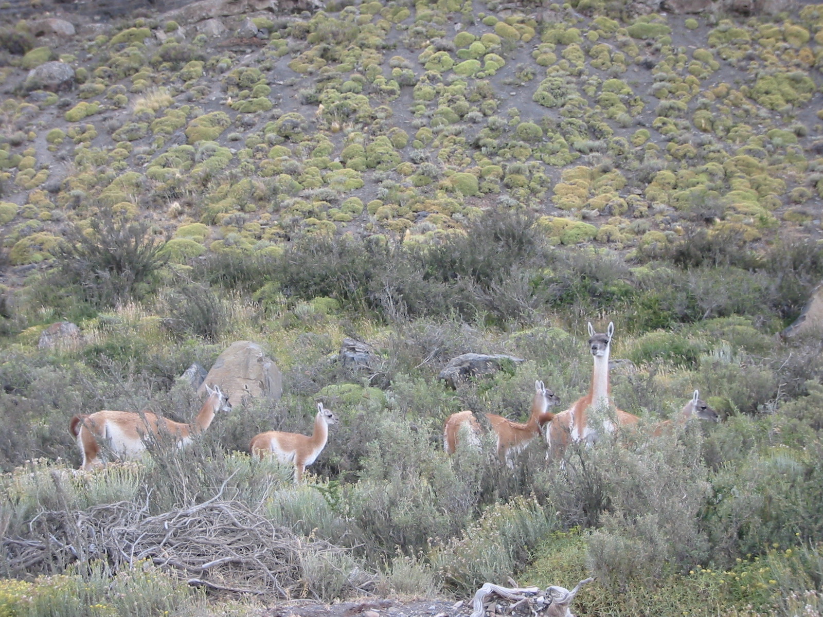
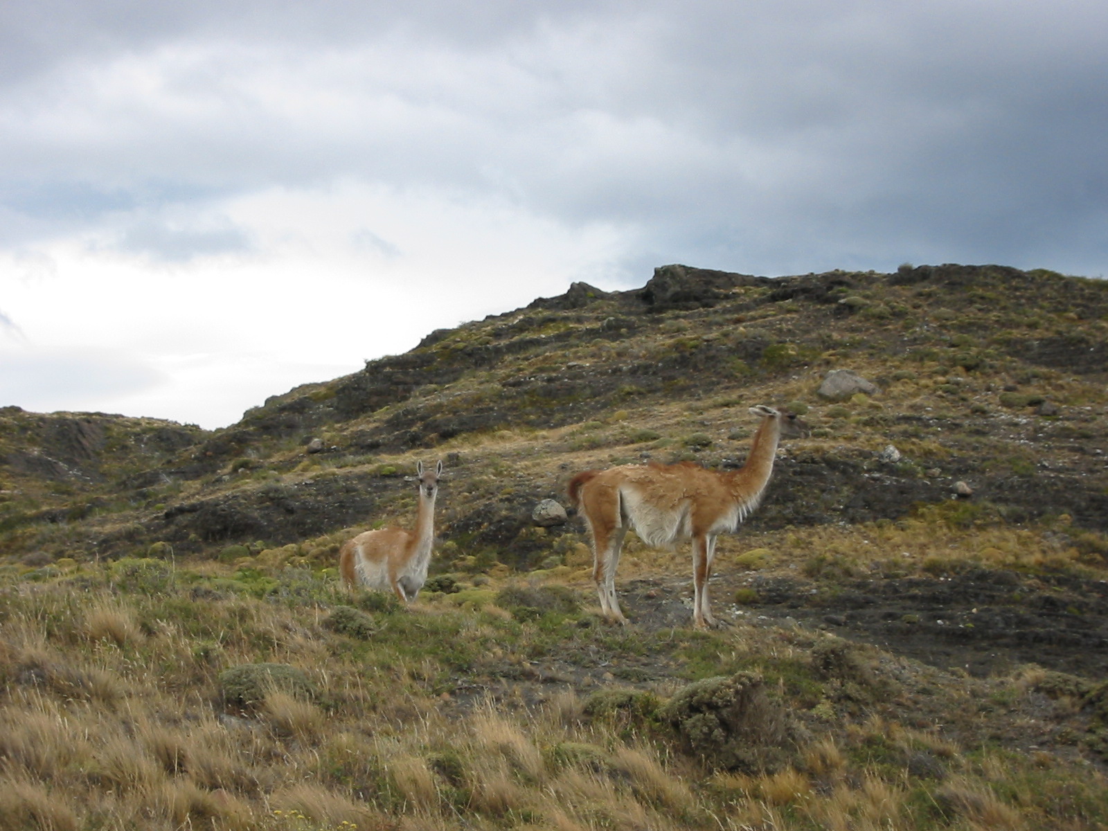
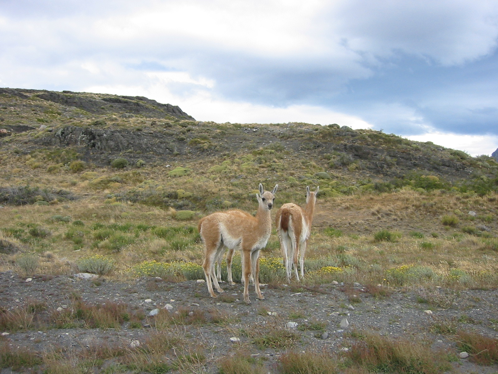
The Torres del Paine park is home to large heards of Guanacos, wild
relatives of the domesticated Llamas and Alpacas. Here is a herd
that we drove through just after entering the park. |
| |

DSCN0355.jpg |
DSCN0356.jpg |
DSCN0357.jpg |
IMG_0219.jpg |
IMG_0220.jpg |
IMG_0221.jpg |

IMG_0222.jpg |
| | |
|
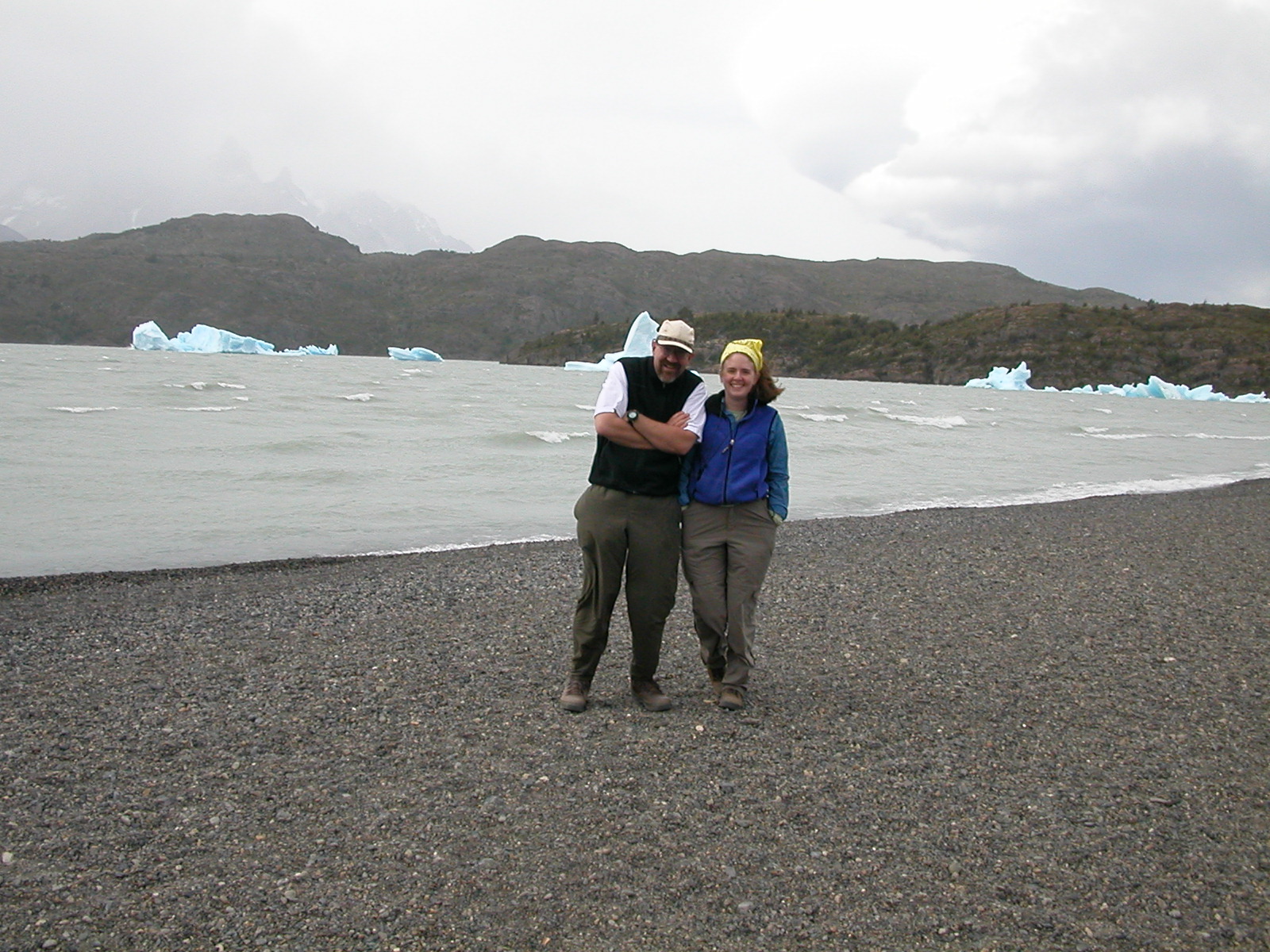
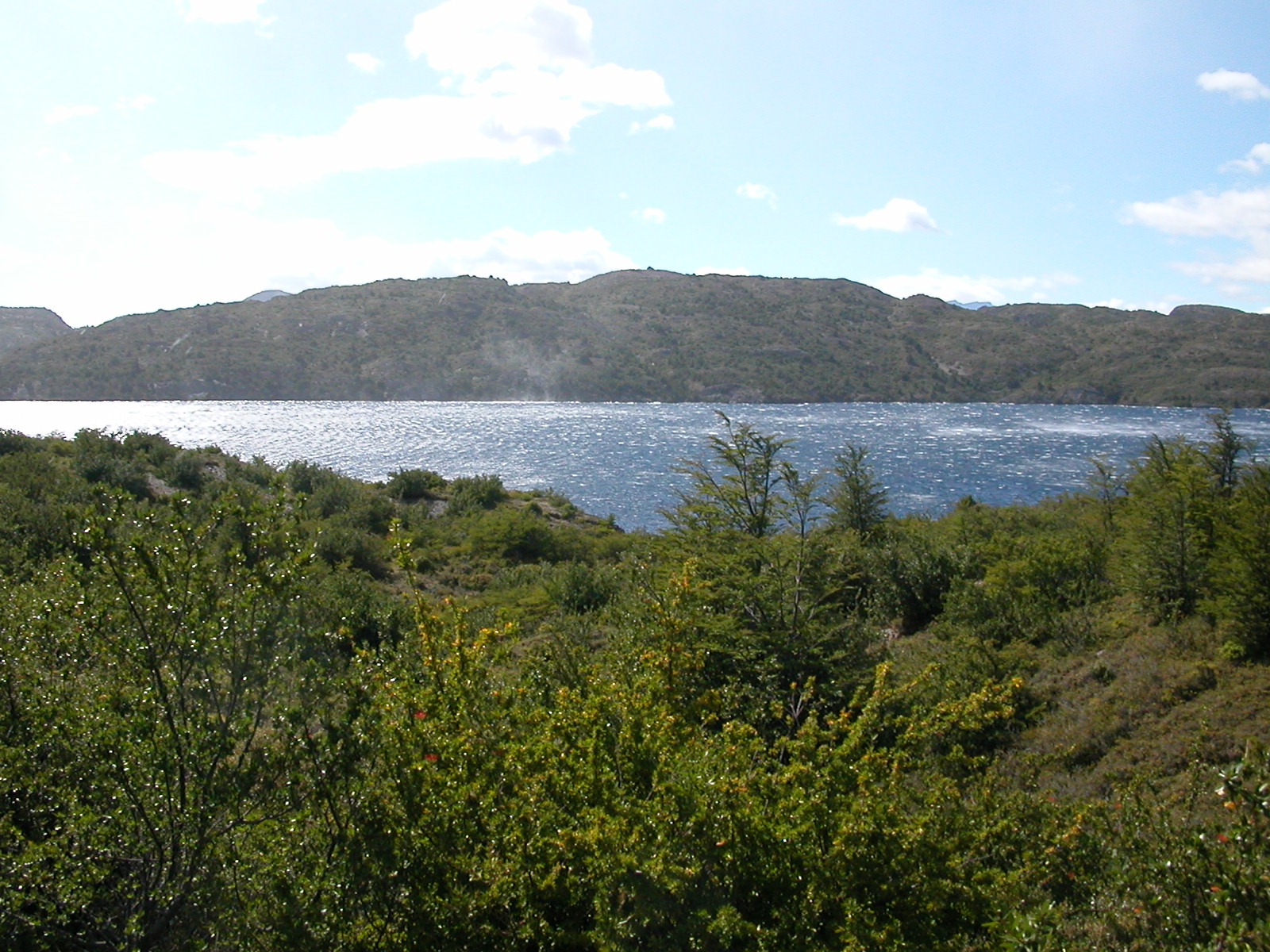
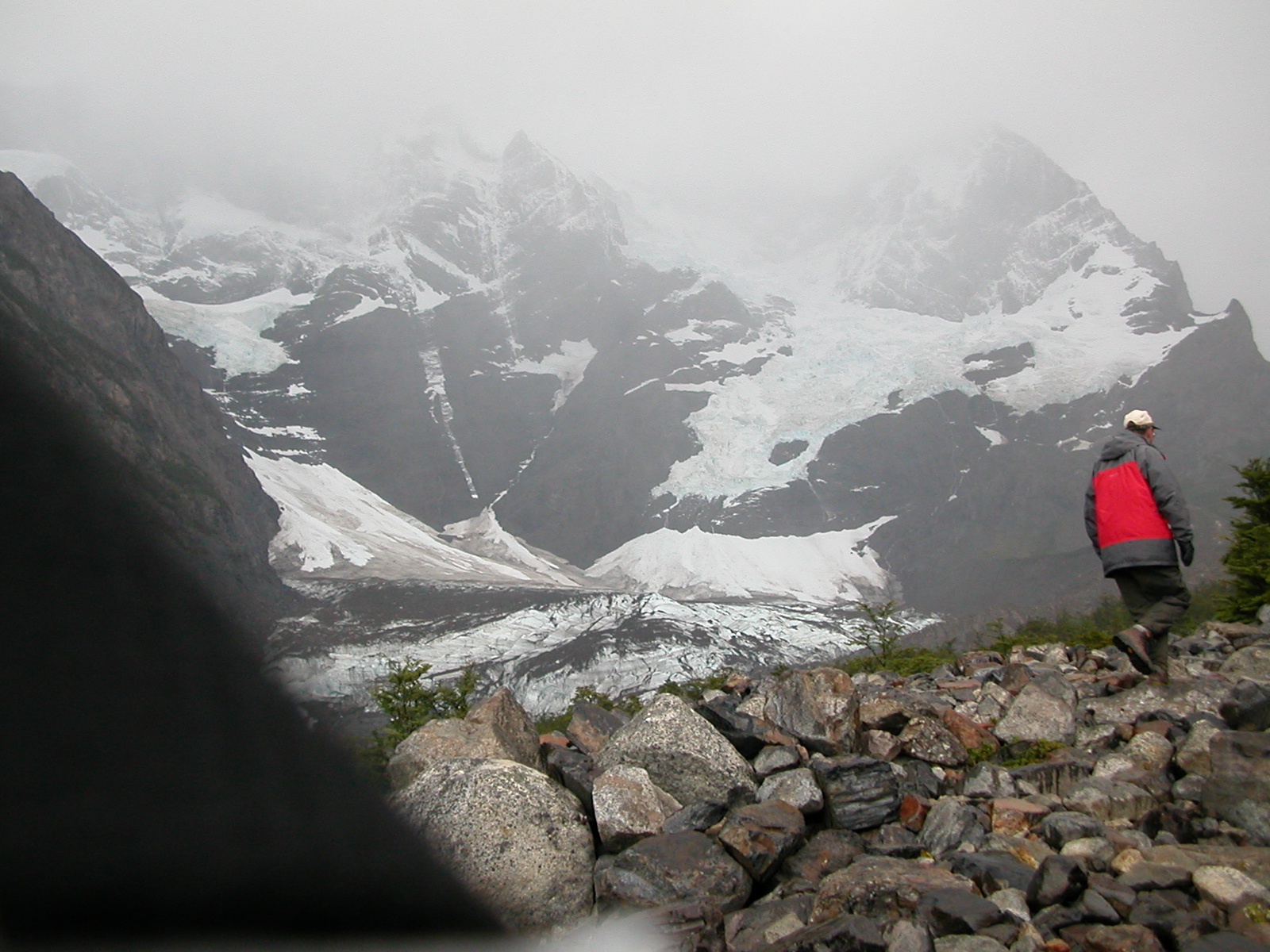
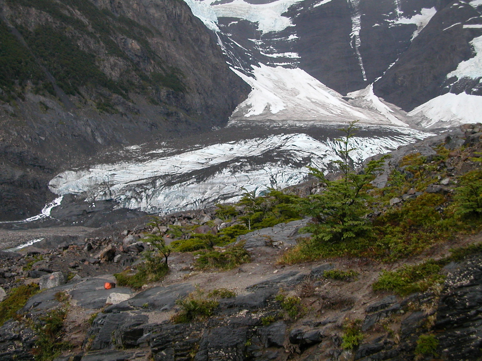
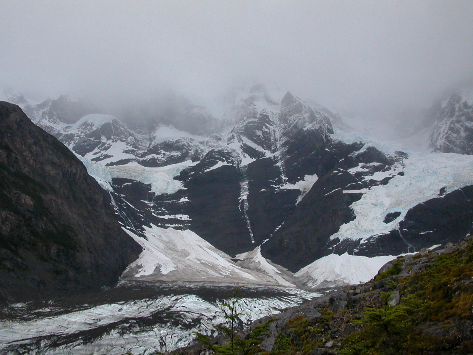
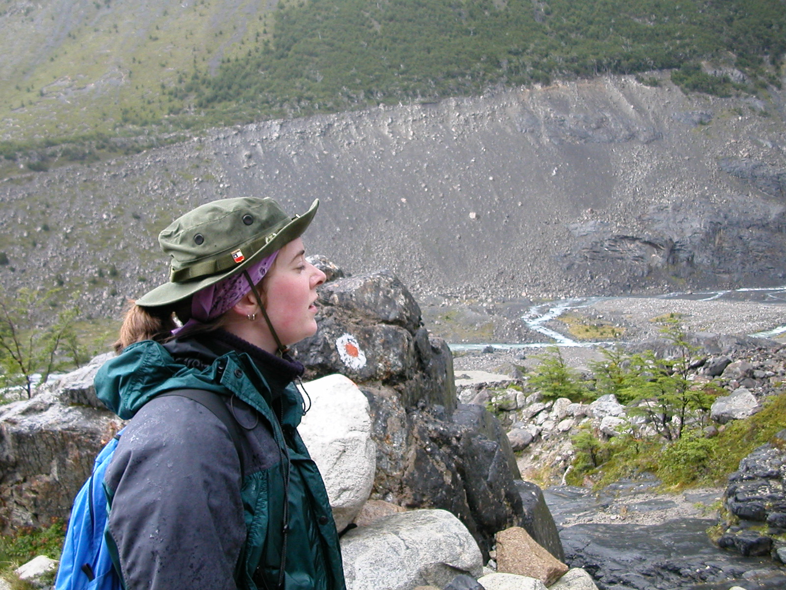
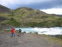
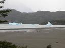
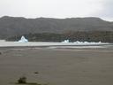
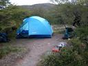
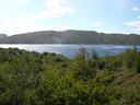
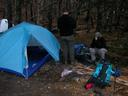
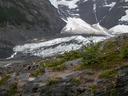
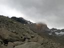
| Feb 7 (cont'd): Refugio Pudeto, Lago Pahoe & Lago Grey |
|
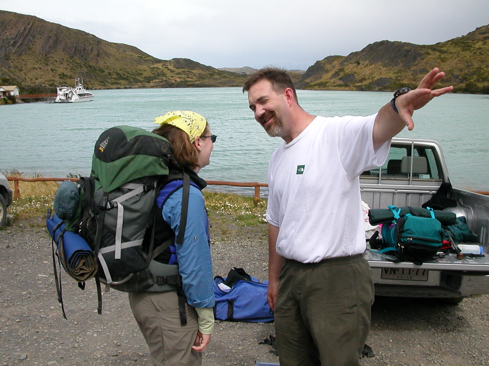
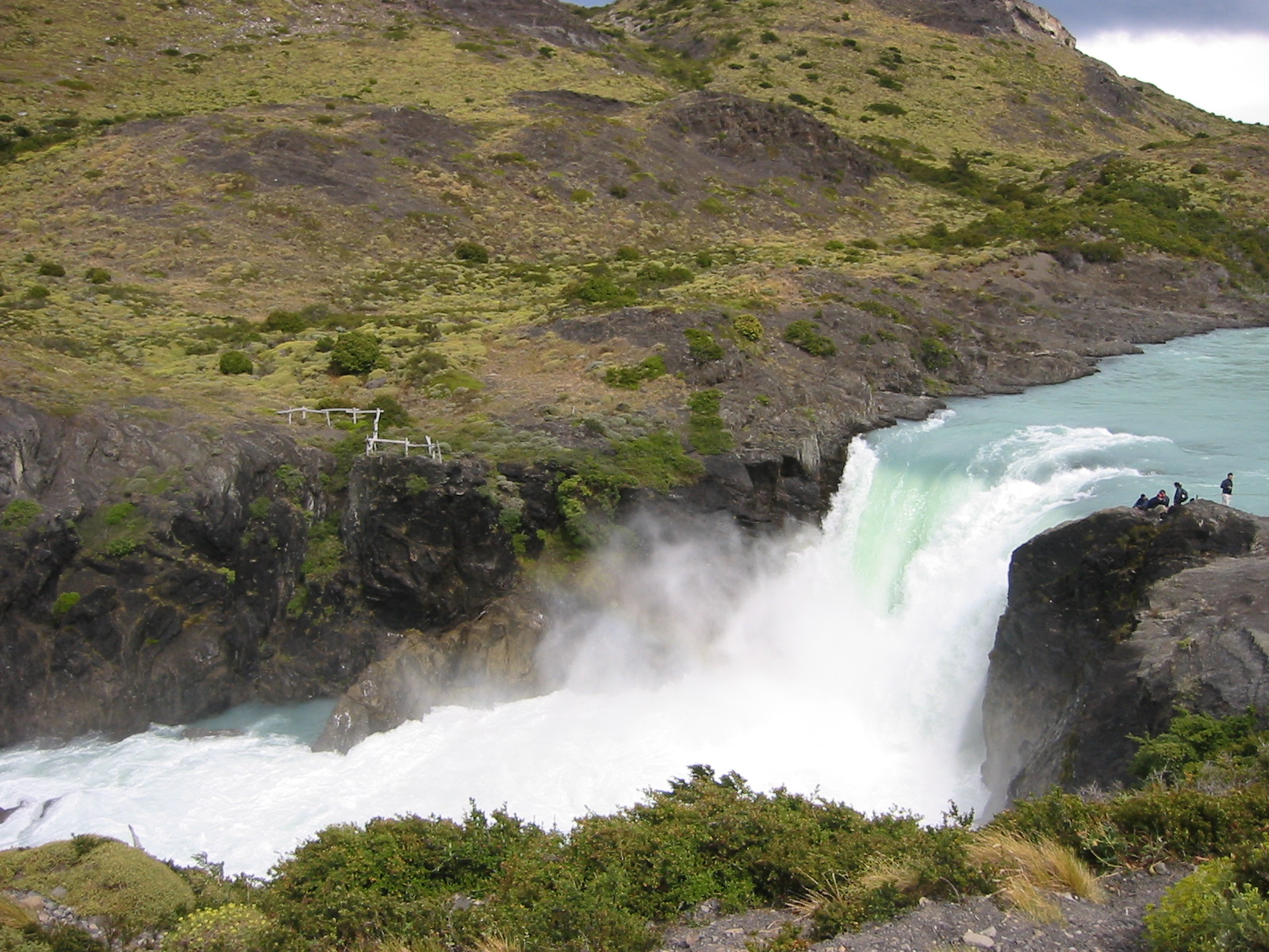
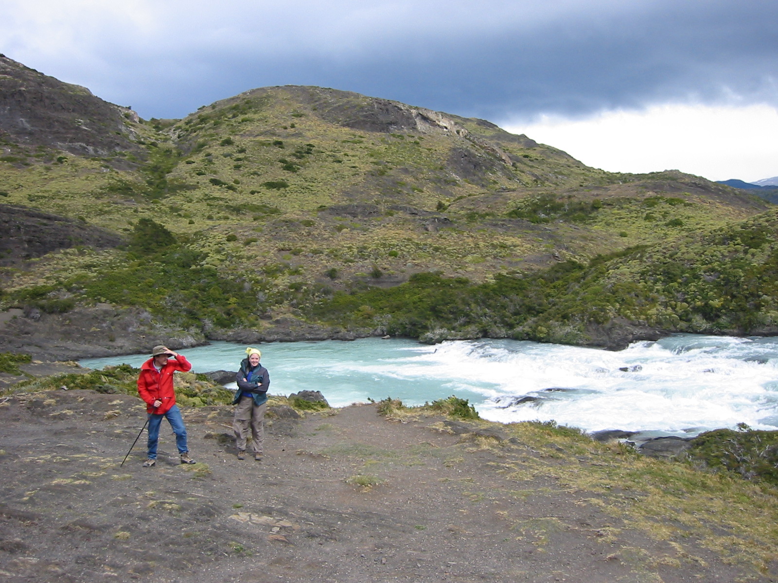
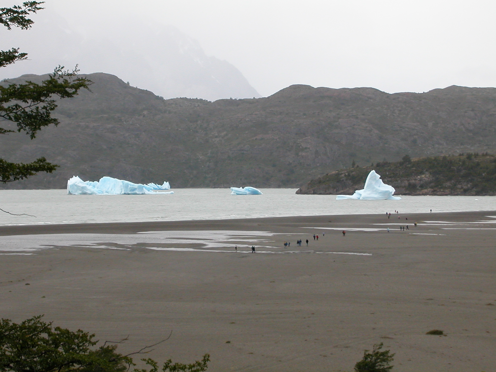
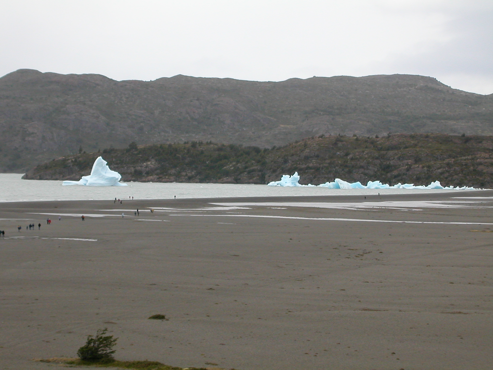
We parked the truck at Refugio Pudeto, intending to catch the motor
launch across Lago Pahoe to the Refugio Pahoe camp, which would be our
basecamp for a trek to Glacier Gray. The guide book was wrong about the
boat trip times, so we had about 6 hours to kill. We had lunch and then
hiked up to a nearby glacial falls that feeds Lago Pahoe, then drove out
to Lago Gray to see the icebergs at the end of the lake. These bergs
break off of the end of Glacier Gray. A fierce wind was blowing off the
distant ice fields, making it much colder than at Pudeto, and blowing
lots of spray off the lake. By our return to Pudeto at 6pm, it was
still blowing, making for a bumpy ride to Refugio Pudeto where we
pitched camp for the night, from which we would start our trip to
Glacier Gray the next morning.
|
| |
DSCN0358.jpg |
DSCN0359.jpg |

IMG_0224.jpg |
IMG_0225.jpg |
IMG_0226.jpg |
DSCN0360.jpg |
DSCN0361.jpg |

DSCN0362.jpg |
DSCN0363.jpg |
DSCN0364.jpg |
|
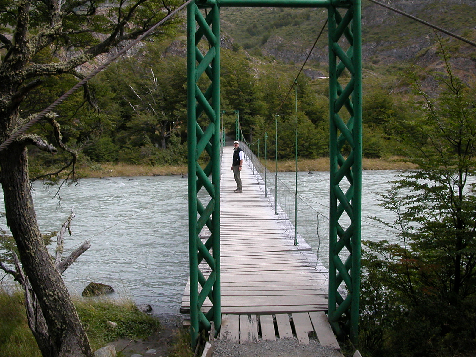
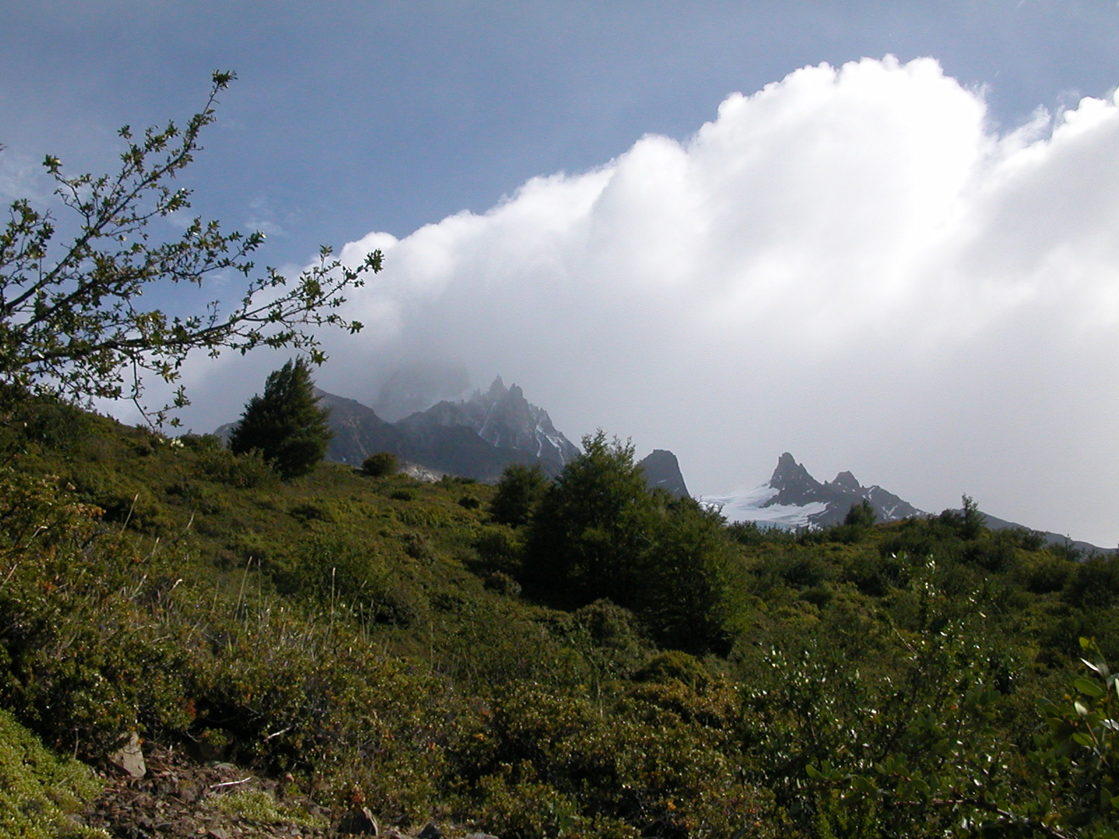
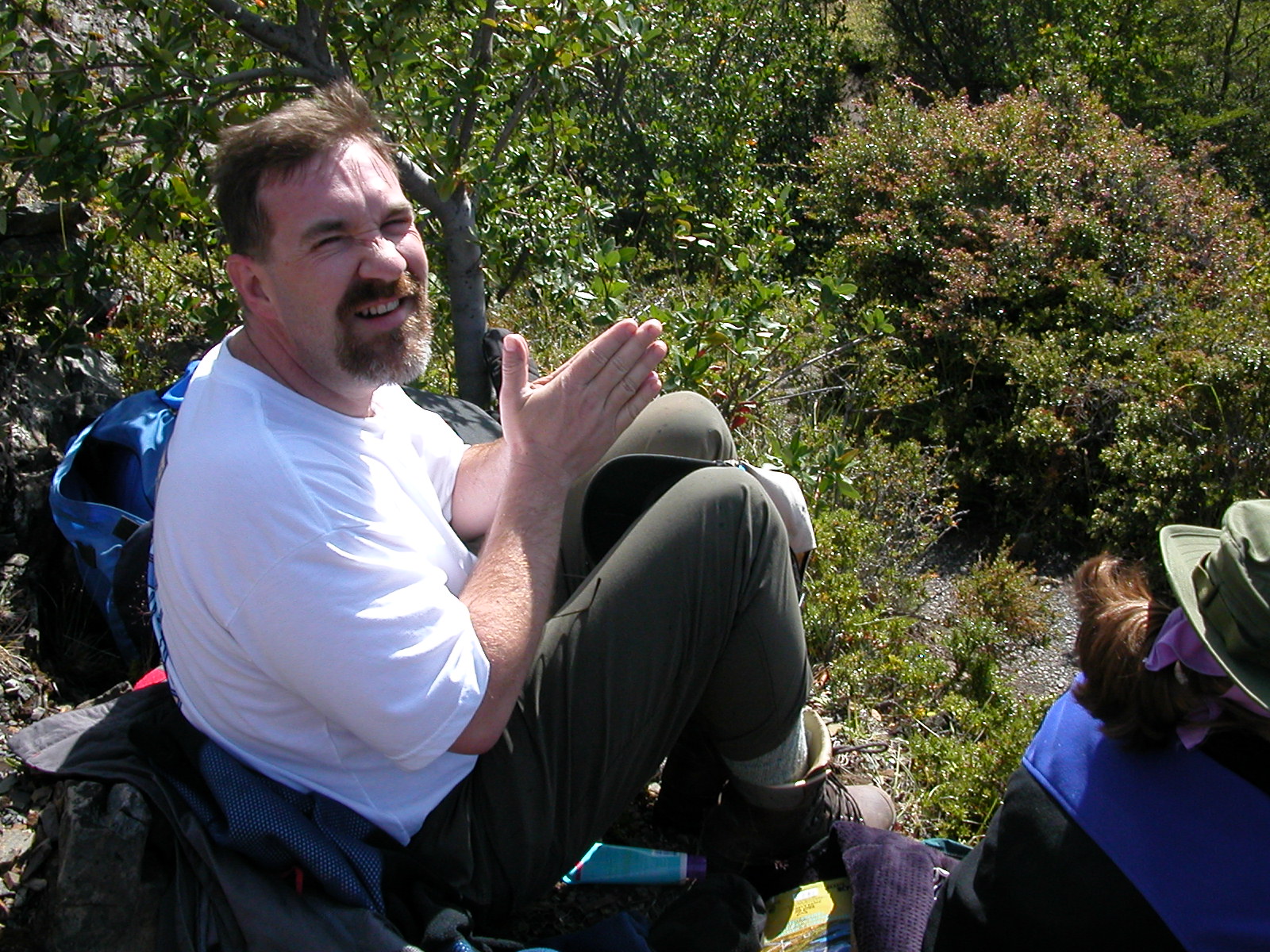
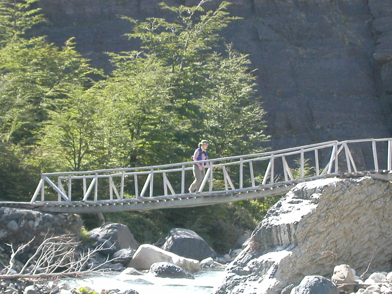
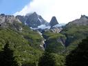
| Feb 8: Refugio Lago Pahoe to Valles Frances (Campamento Italiano & Glacier Frances) |
|
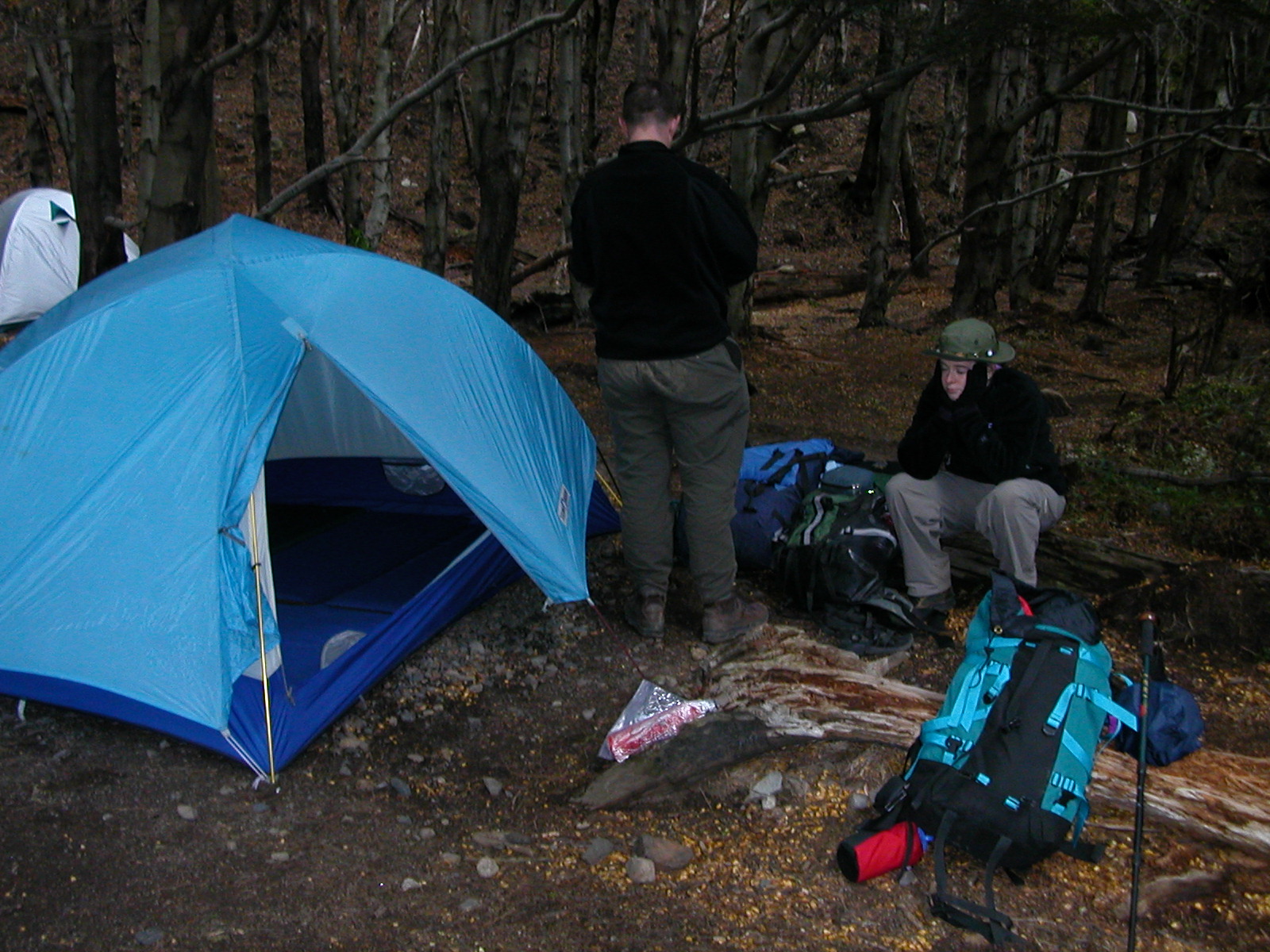
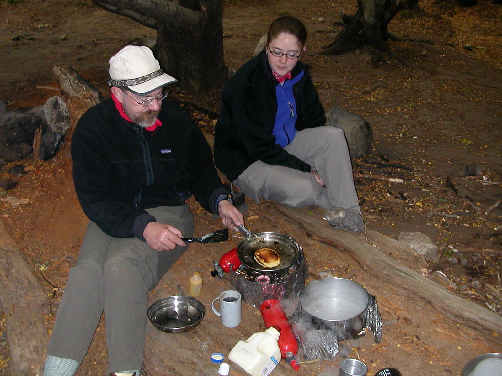
The day dawned windy and very rainy. We cooked a quick breakfast, then
retreated to the tent to consider our plans. The wind and rain were clearly
originating from the ice fields behind Glacier Gray, so going there would
just be going straight into the teeth of the bad weather. On the
opposite side of the glacier, shielded by the Cerro Paine Grande, is the
Glacier Frances. We decided to make for Campamento Italiano, up the
Valles Frances, and go instead for that glacier. We chose well in the
end, while it did rain on us that afternoon at the glacier, things
were likely much worse closer to the big icefields. Most of the hike
was in sun, but the winds were very strong, nearly blowing us over in
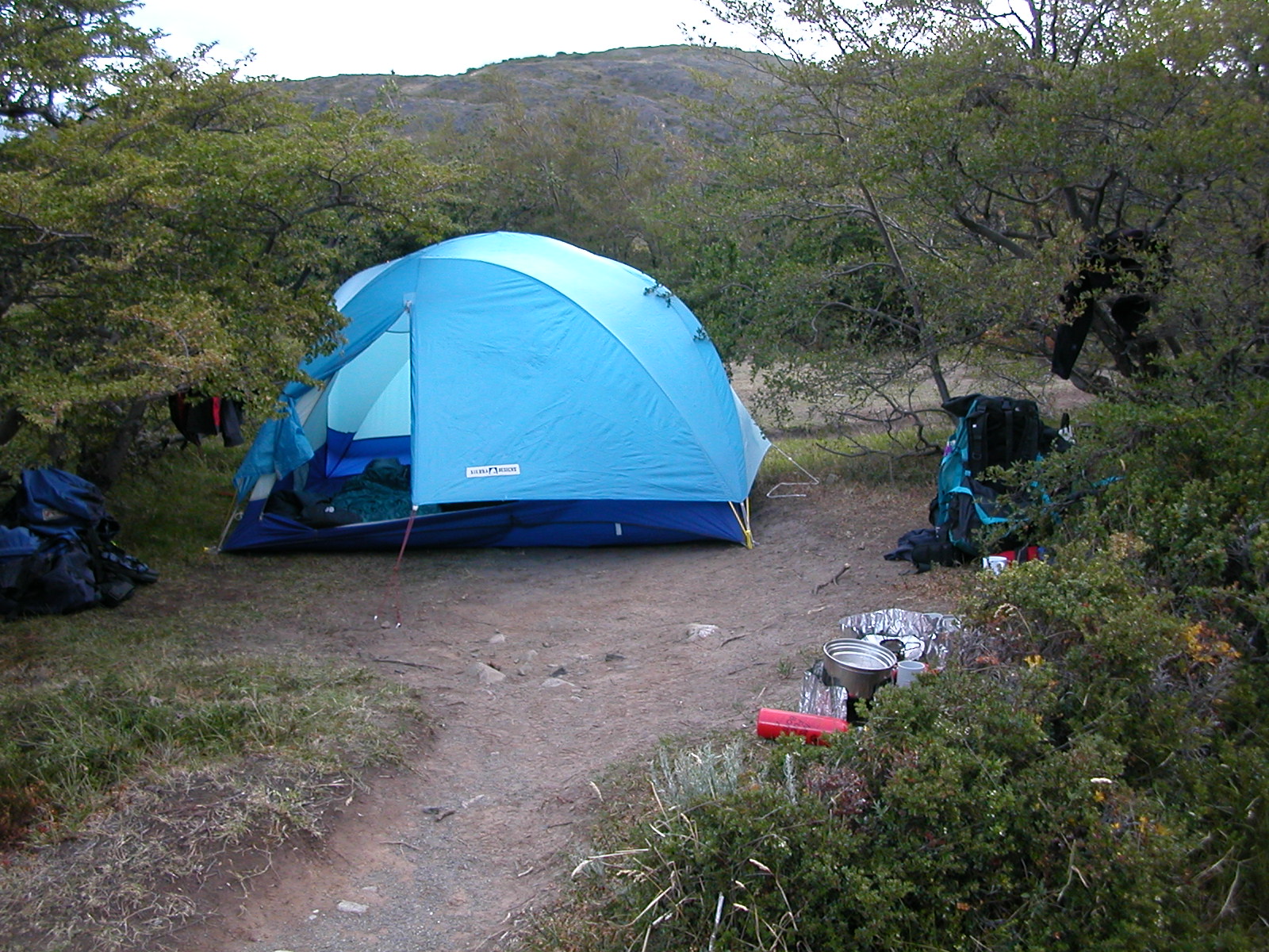
a couple of cases. In the afternoon we reached Campamento Italiano
where we pitched our tent and then took a brief and rainy
day hike up to the Frances Glacier.
The camp was in a beech forest, so shielded from wind and spitting rain,
which thankfully died down towards evening, giving way to a peaceful
if very dark night.
|
| |
DSCN0365.jpg |
DSCN0366.jpg |
DSCN0367.jpg |
DSCN0368.jpg |

DSCN0369.jpg |

DSCN0370.jpg |
DSCN0371.jpg |
DSCN0372.jpg |
DSCN0373.jpg |

DSCN0374.jpg |
DSCN0375.jpg |
DSCN0376.jpg |
DSCN0377.jpg |

DSCN0378.jpg |

DSCN0379.jpg |
|
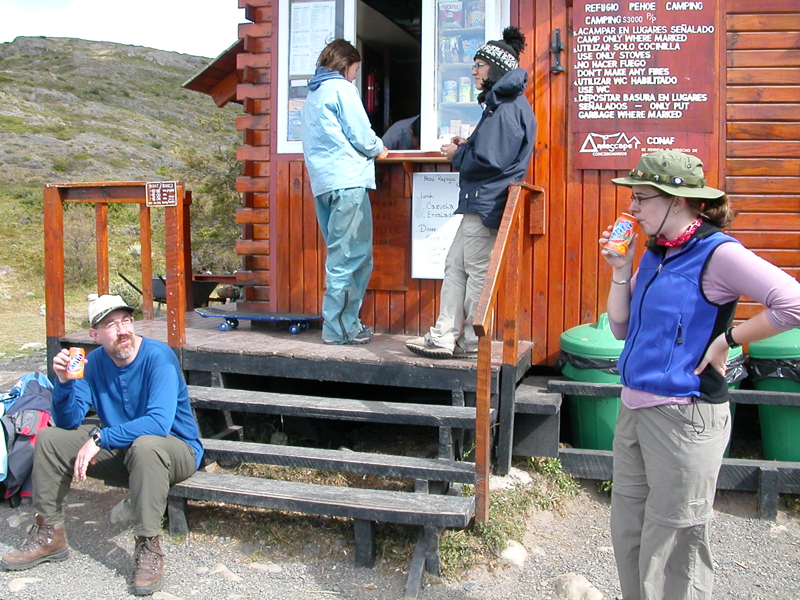
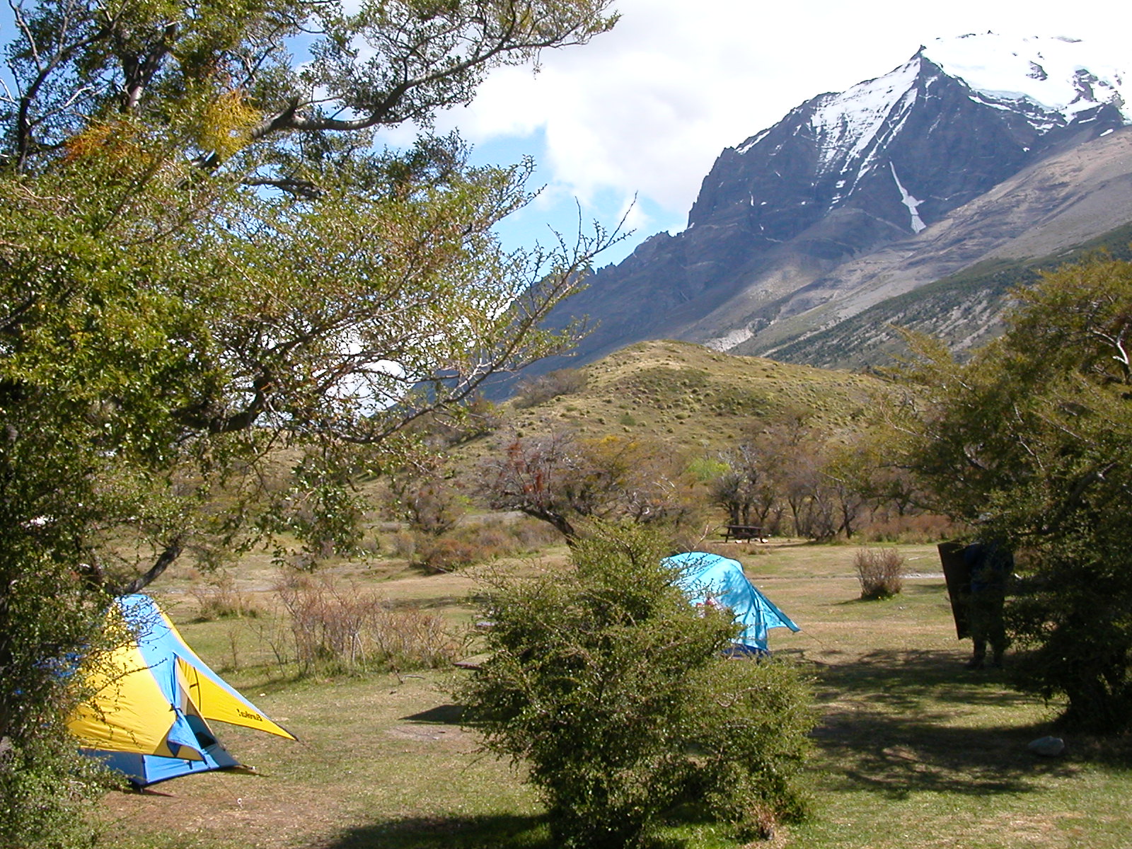
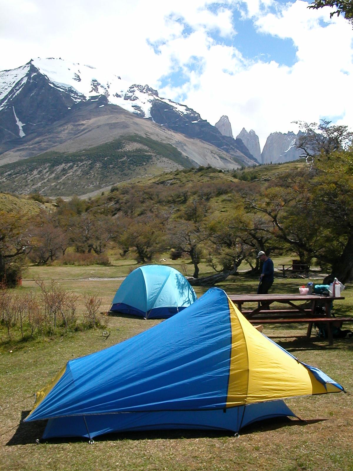
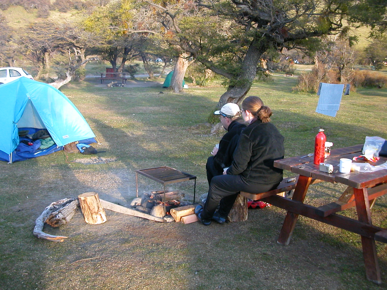
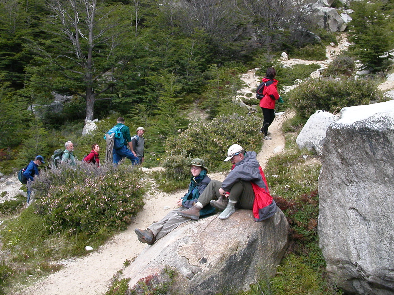
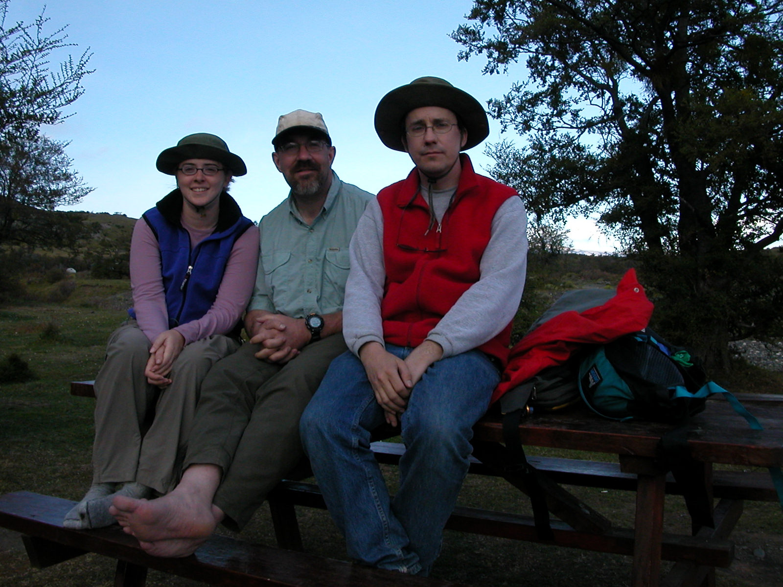
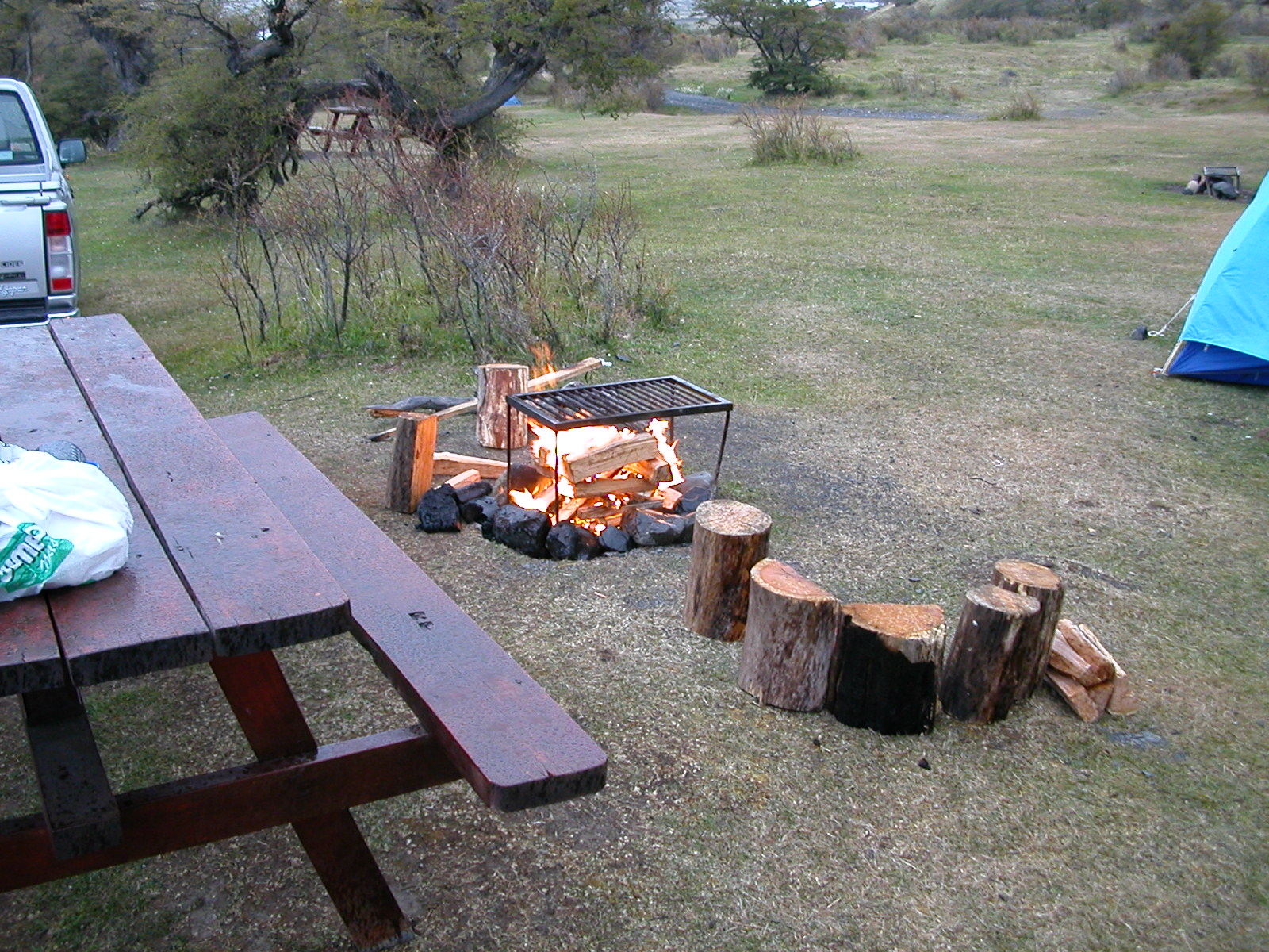
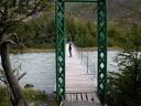
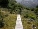
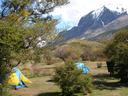
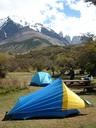
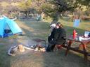
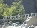
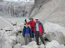
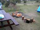
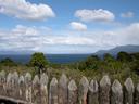
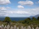
| Feb 9: Return to Refugio Lago Pahoe & on to Las Torres Camp |
|
We broke camp at Campamento Italiano and hiked (in much less wind) back
to the refugio at Lago Pahoe in time to catch the 12:30 boat back to
Refugio Puteno. From there we loaded up the truck and shifted camp to
Las Torres at the other end of the Park. Las Torres would be our base
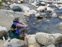
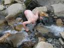
for a trek to the Torres del Paine the next day. At Las Torres there
was sun and NO WIND! A good afternoon to take a shower at the camp and
stretch out some.
|
| |

DSCN0383.jpg |

DSCN0384.jpg |
DSCN0385.jpg |
DSCN0386.jpg |
DSCN0387.jpg |
DSCN0388.jpg |
DSCN0389r.jpg |
|
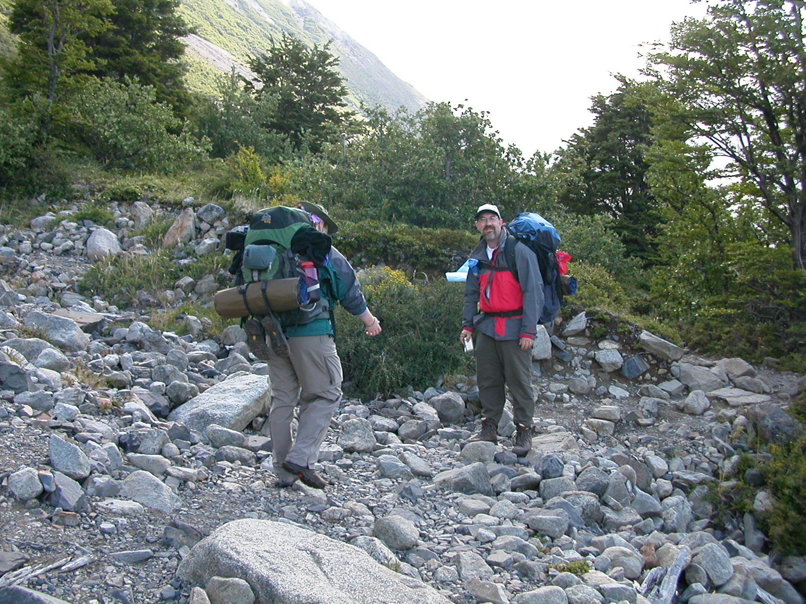
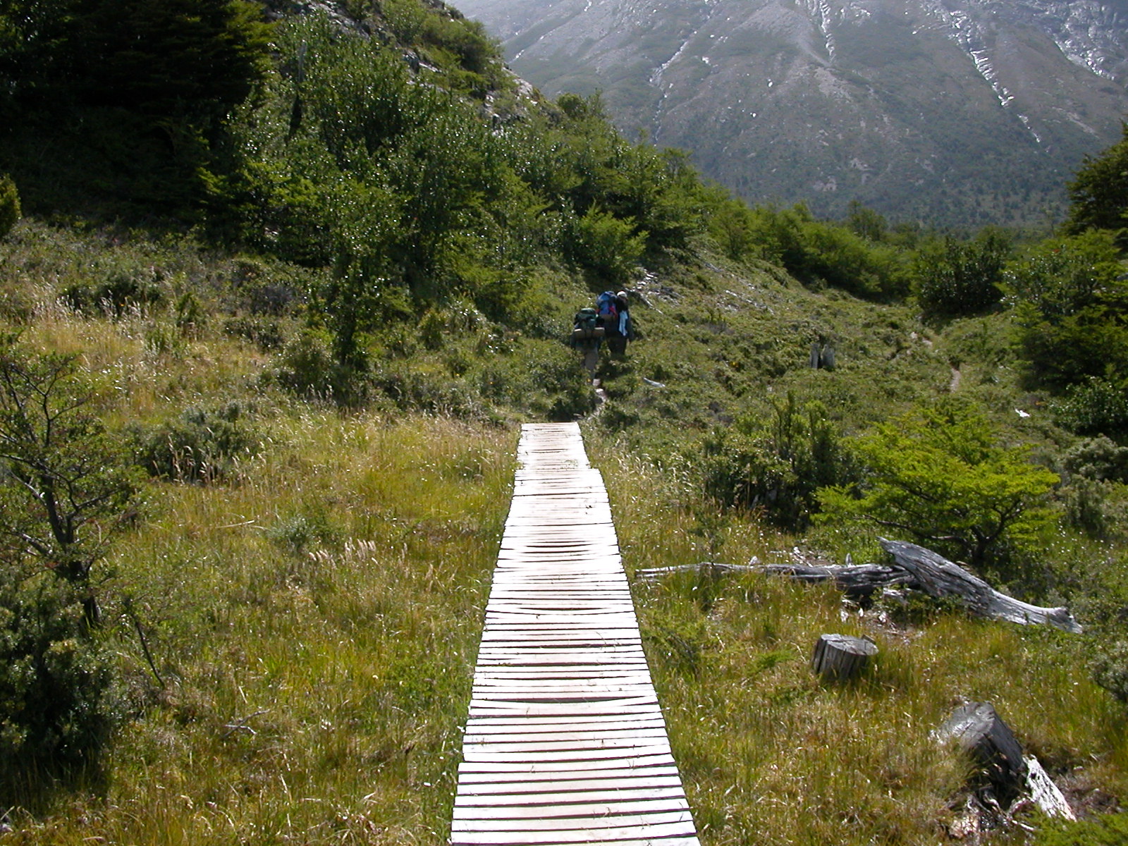
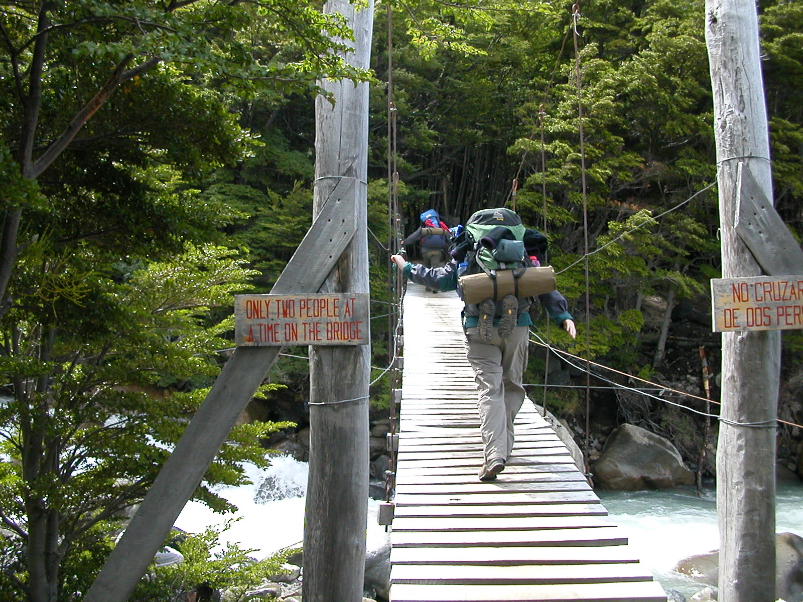
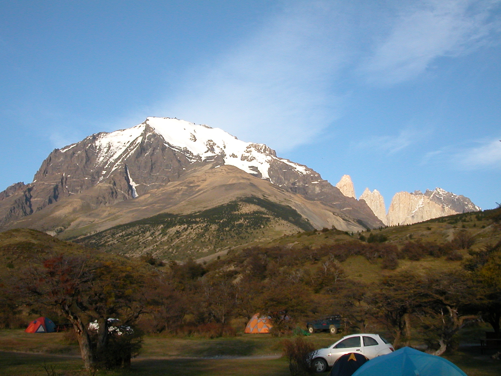
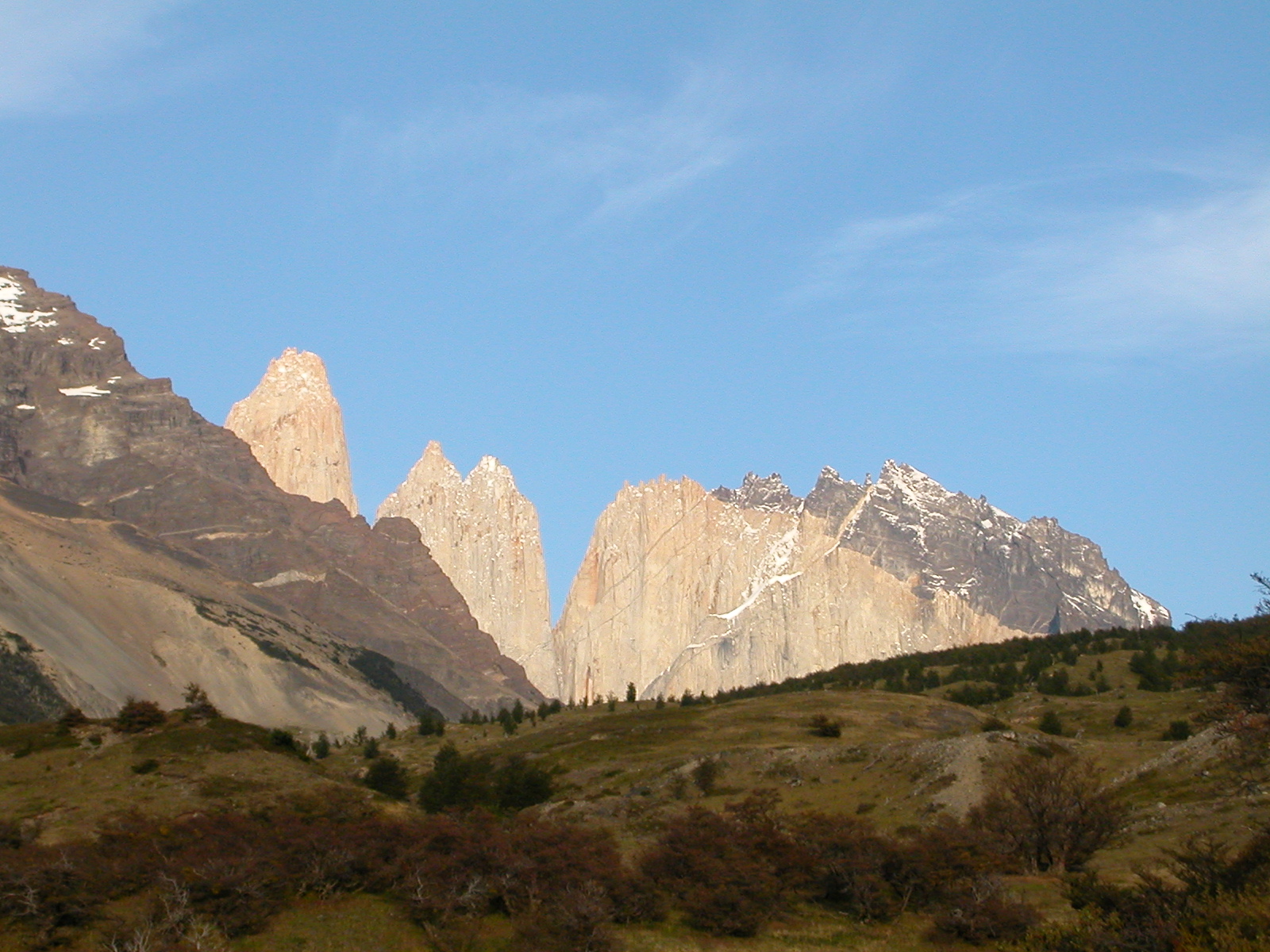
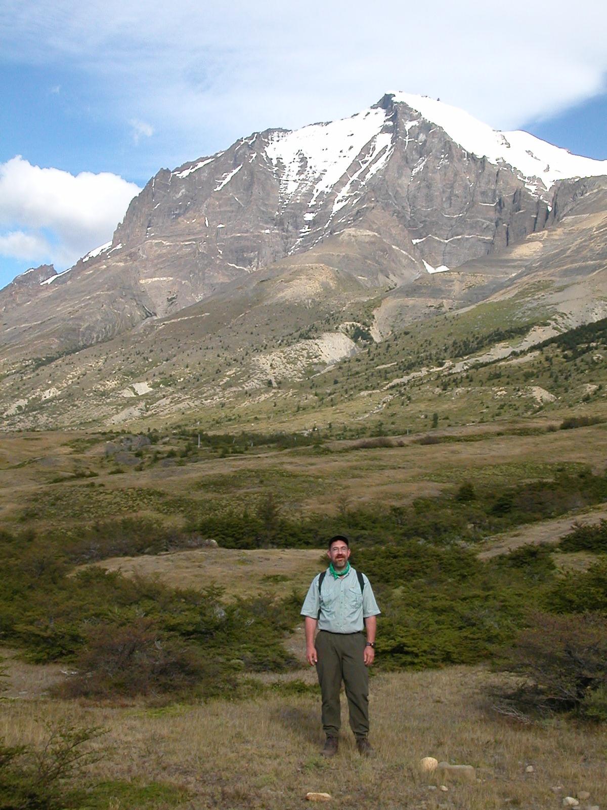
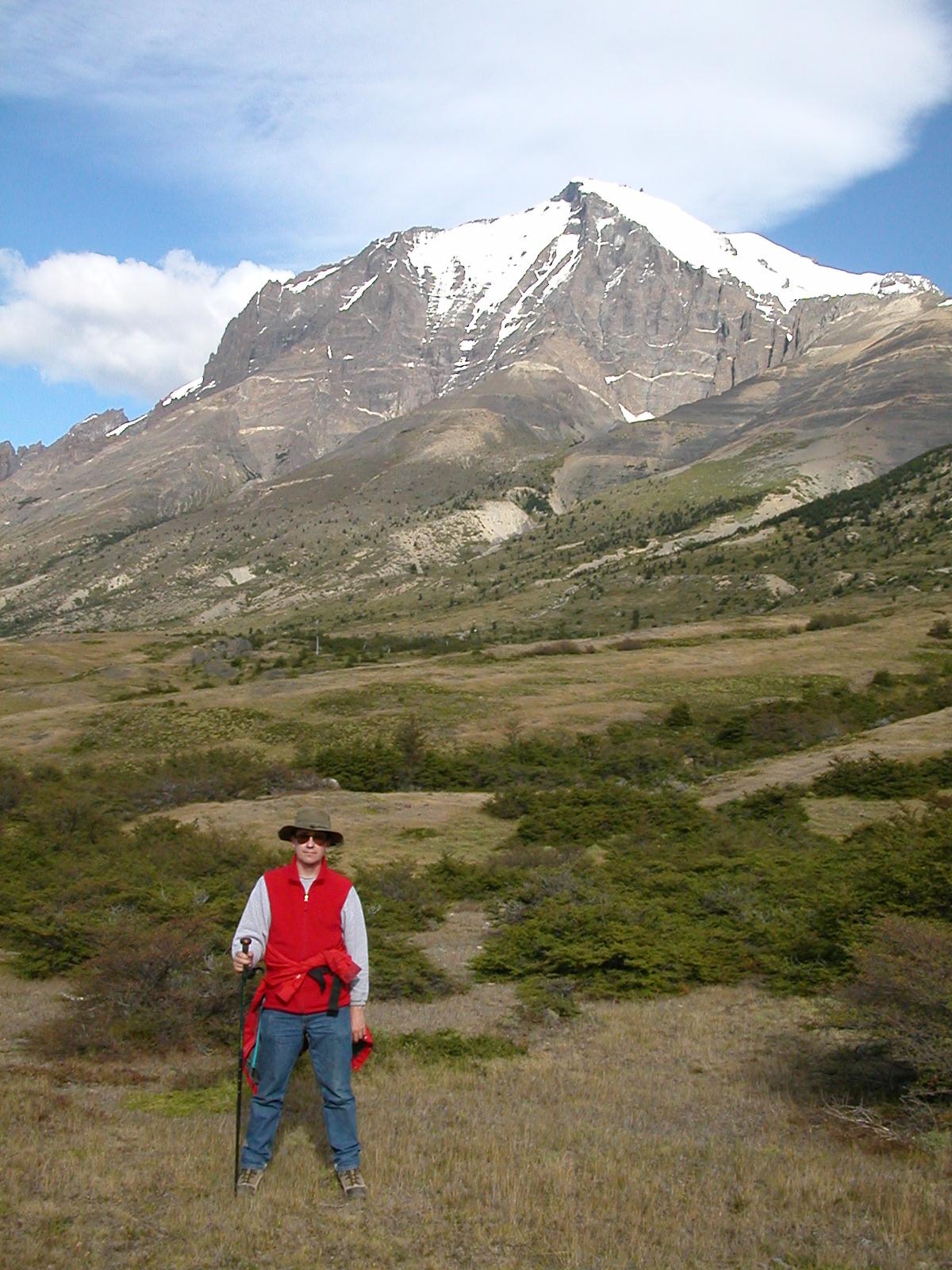
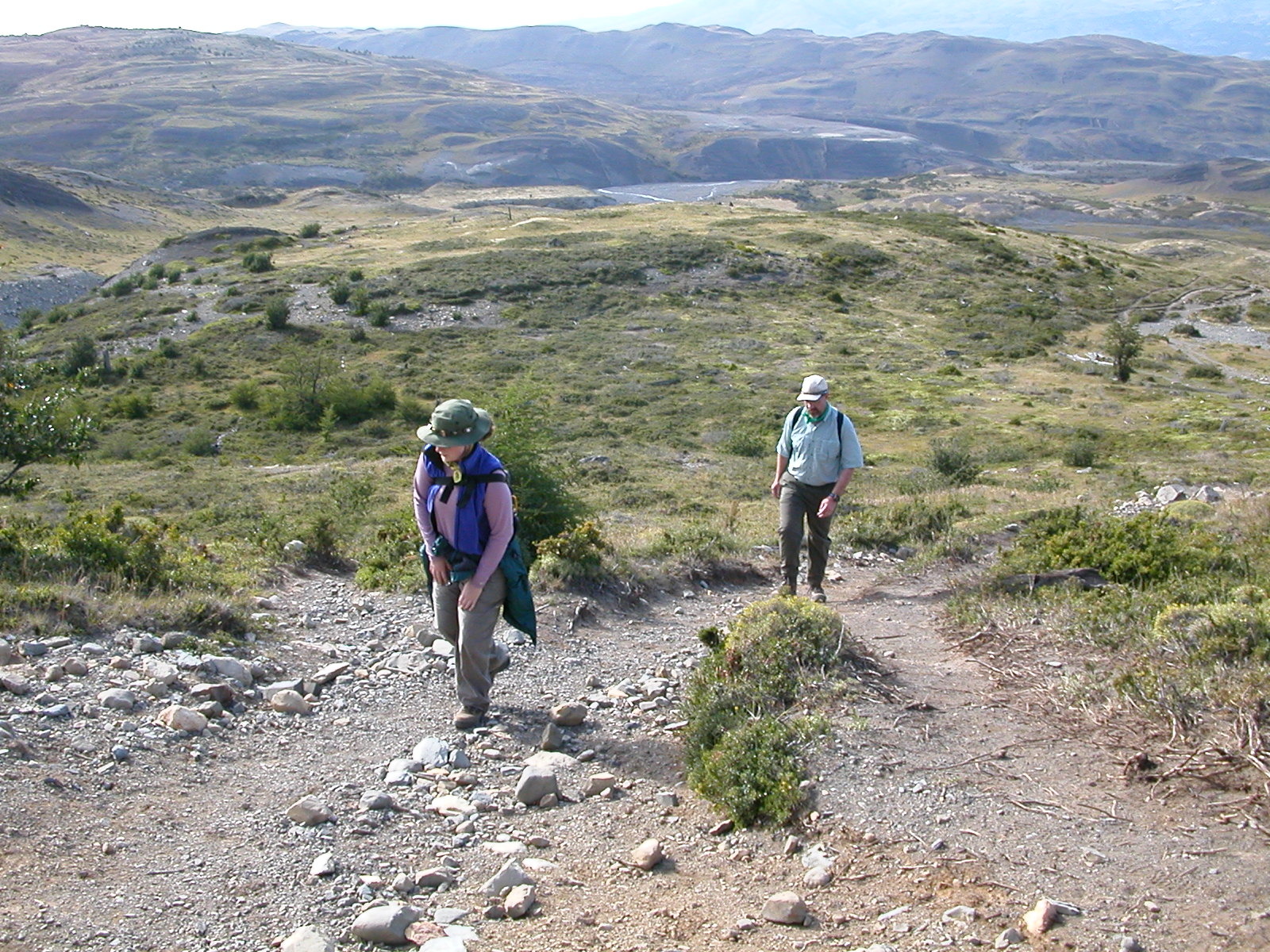
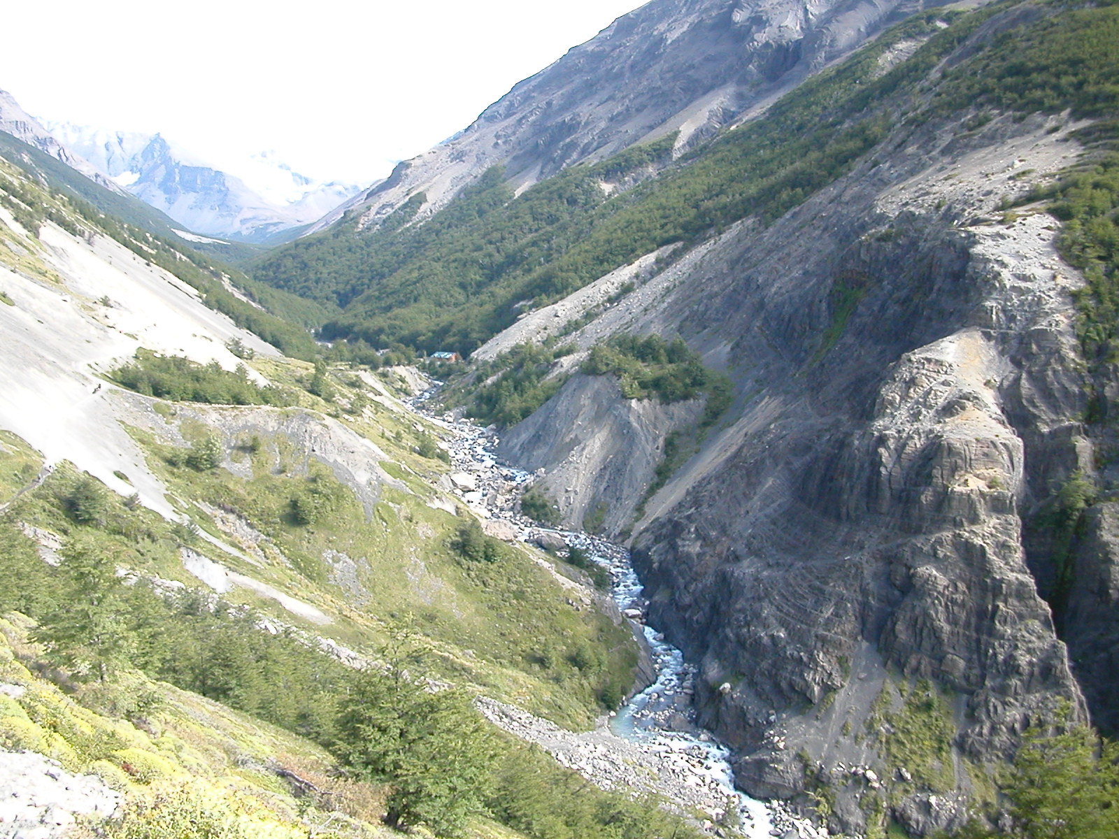
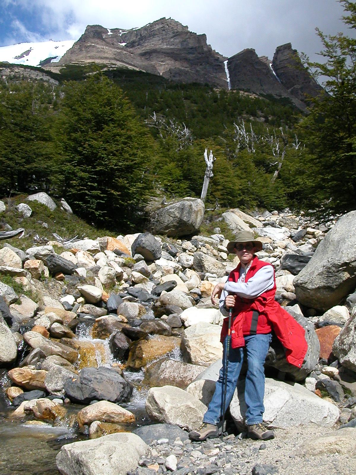
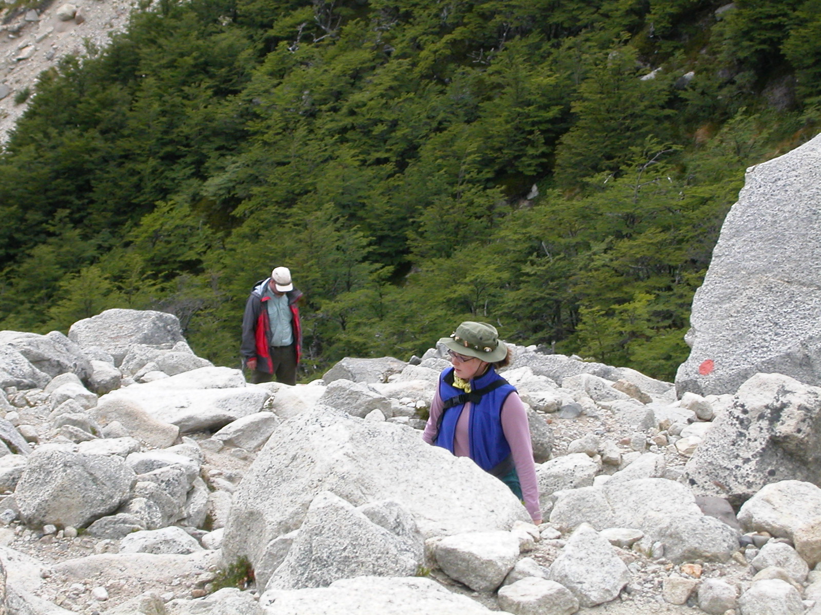
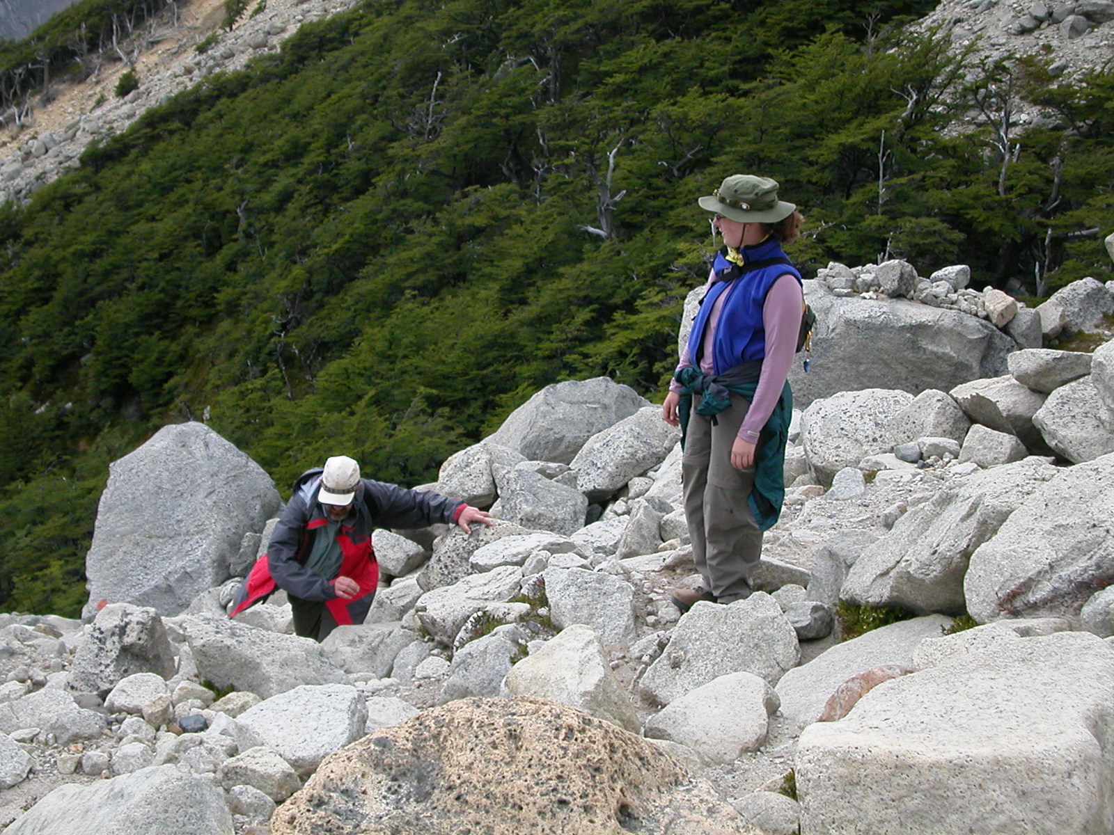
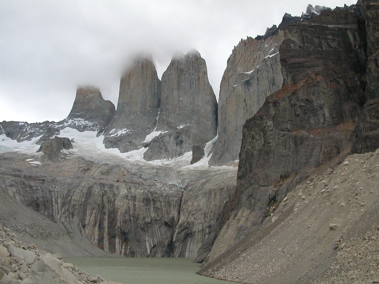
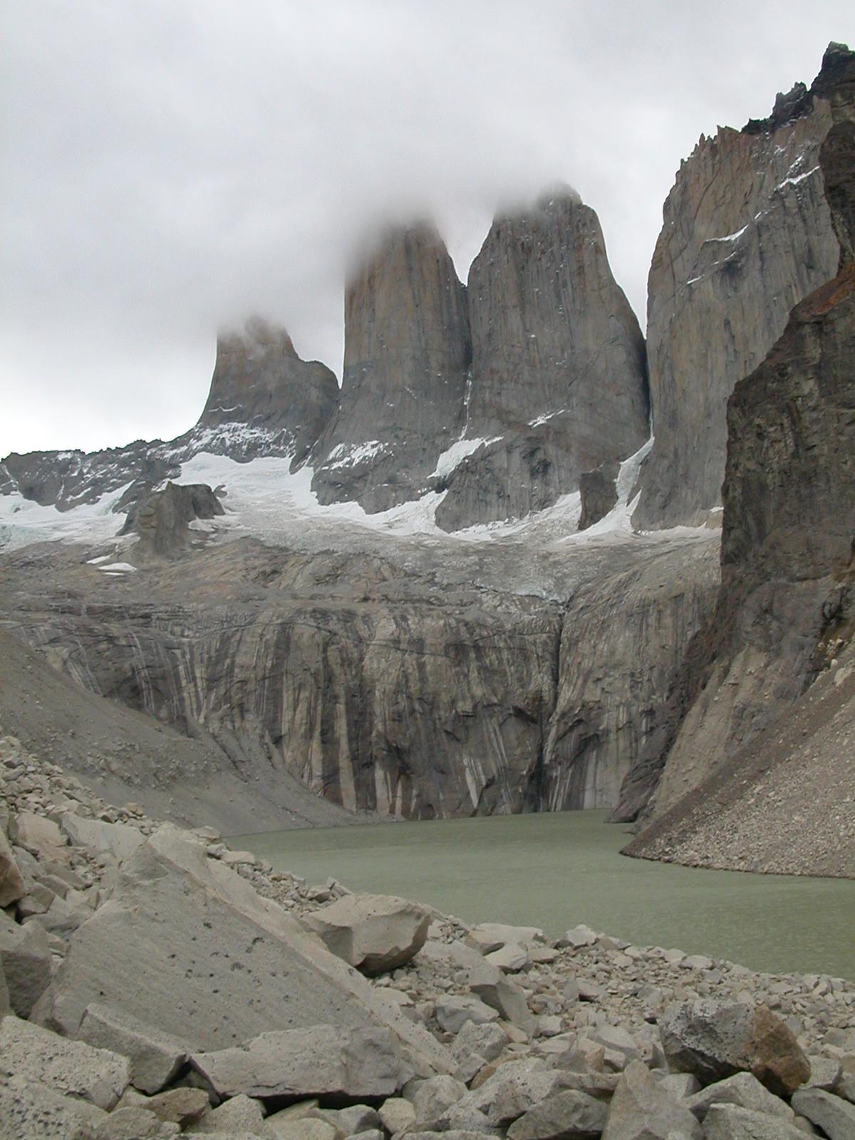
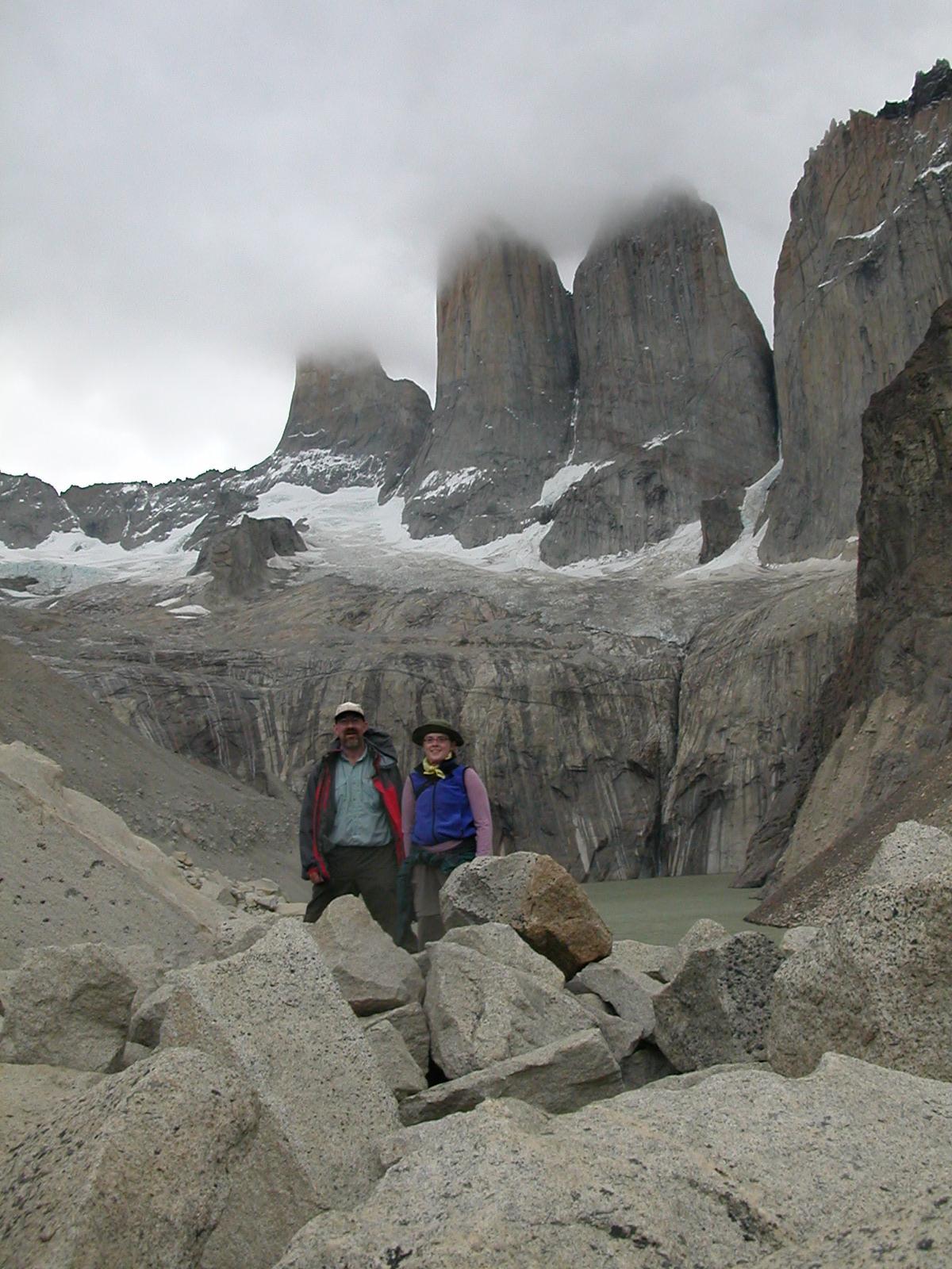
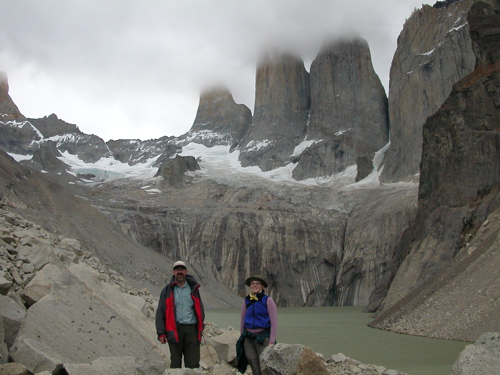
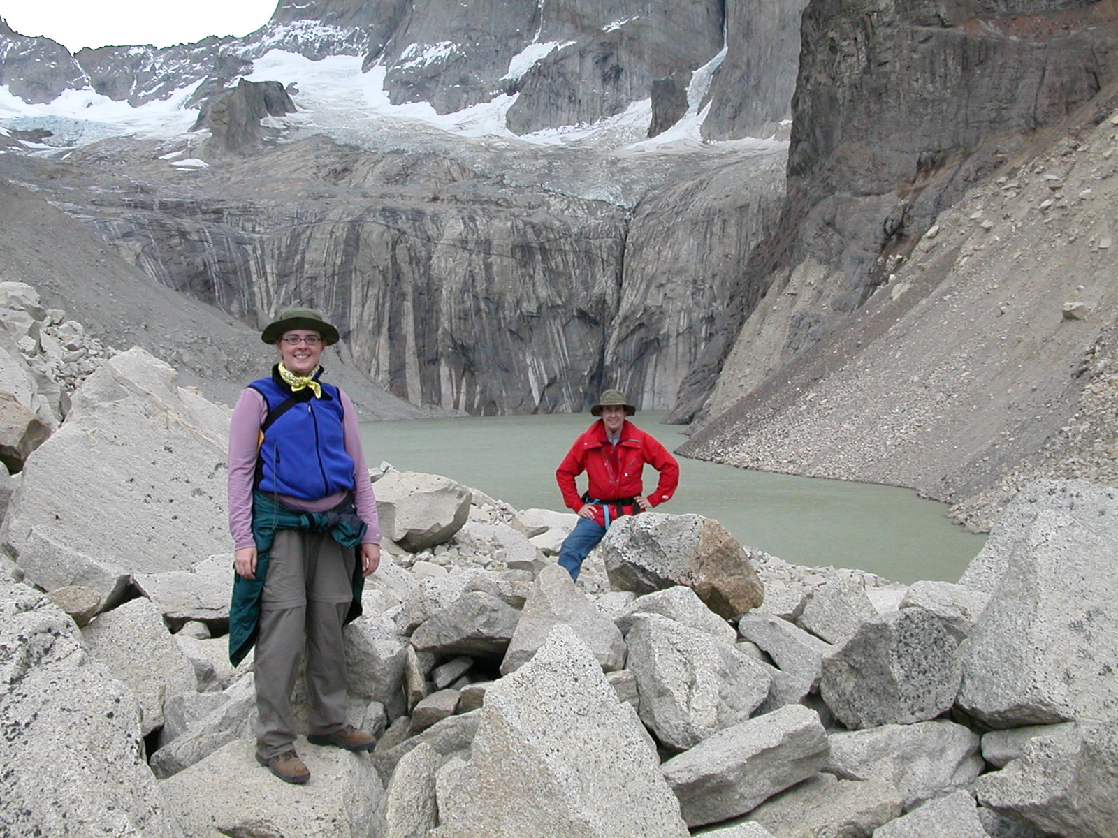
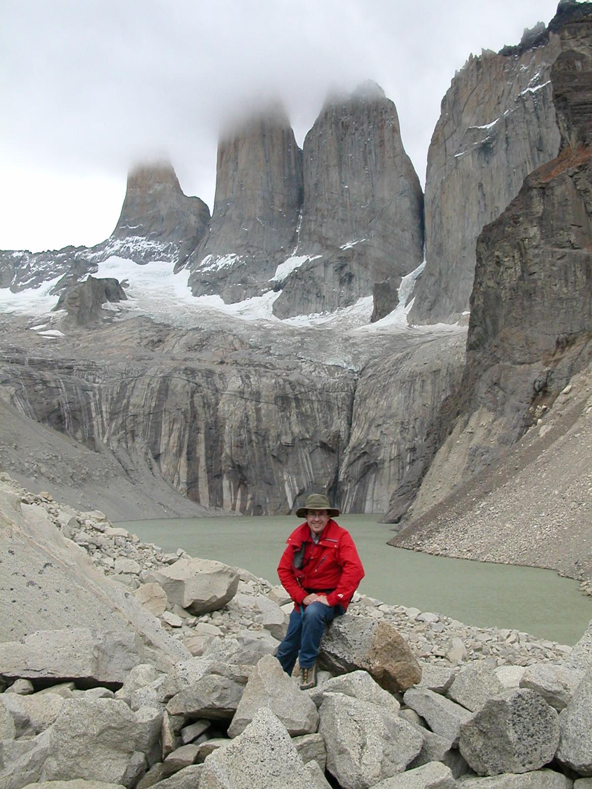
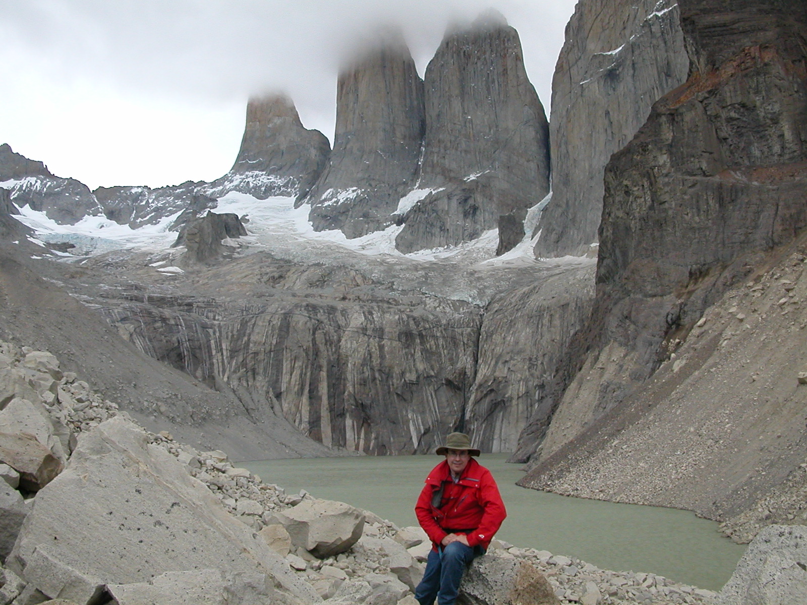
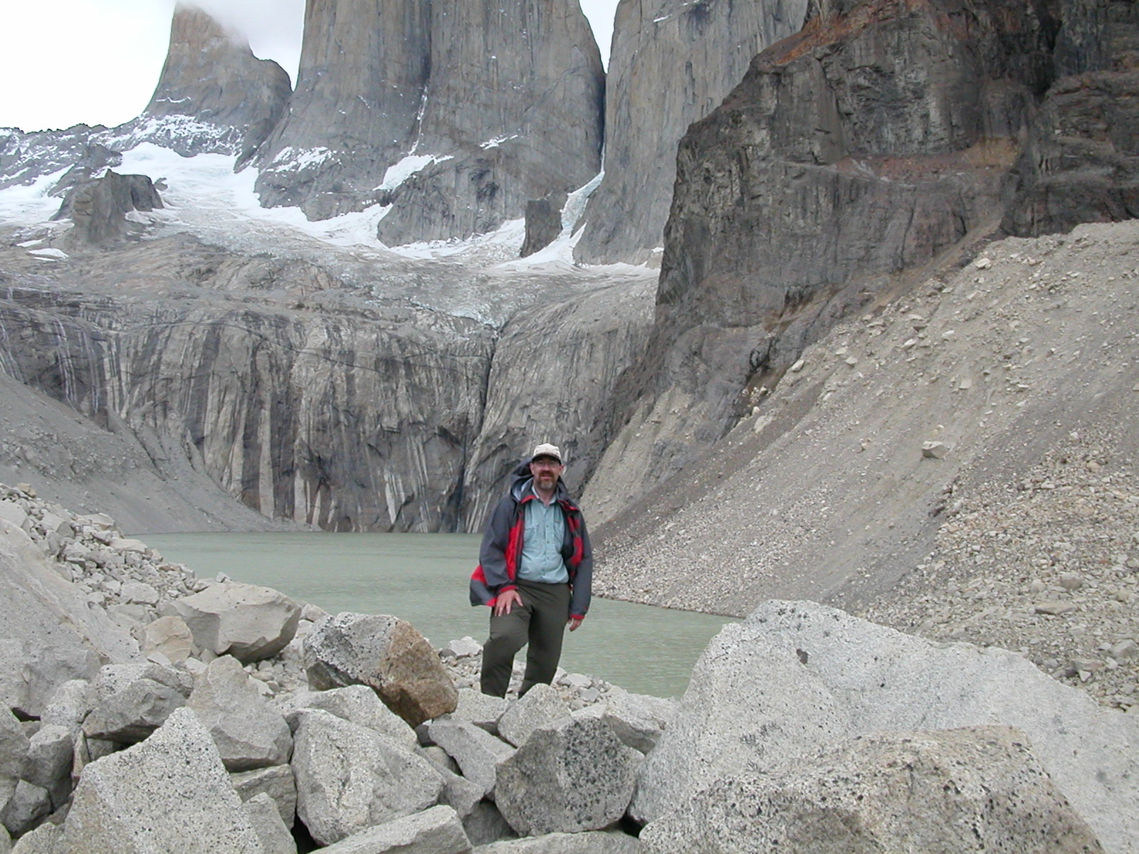
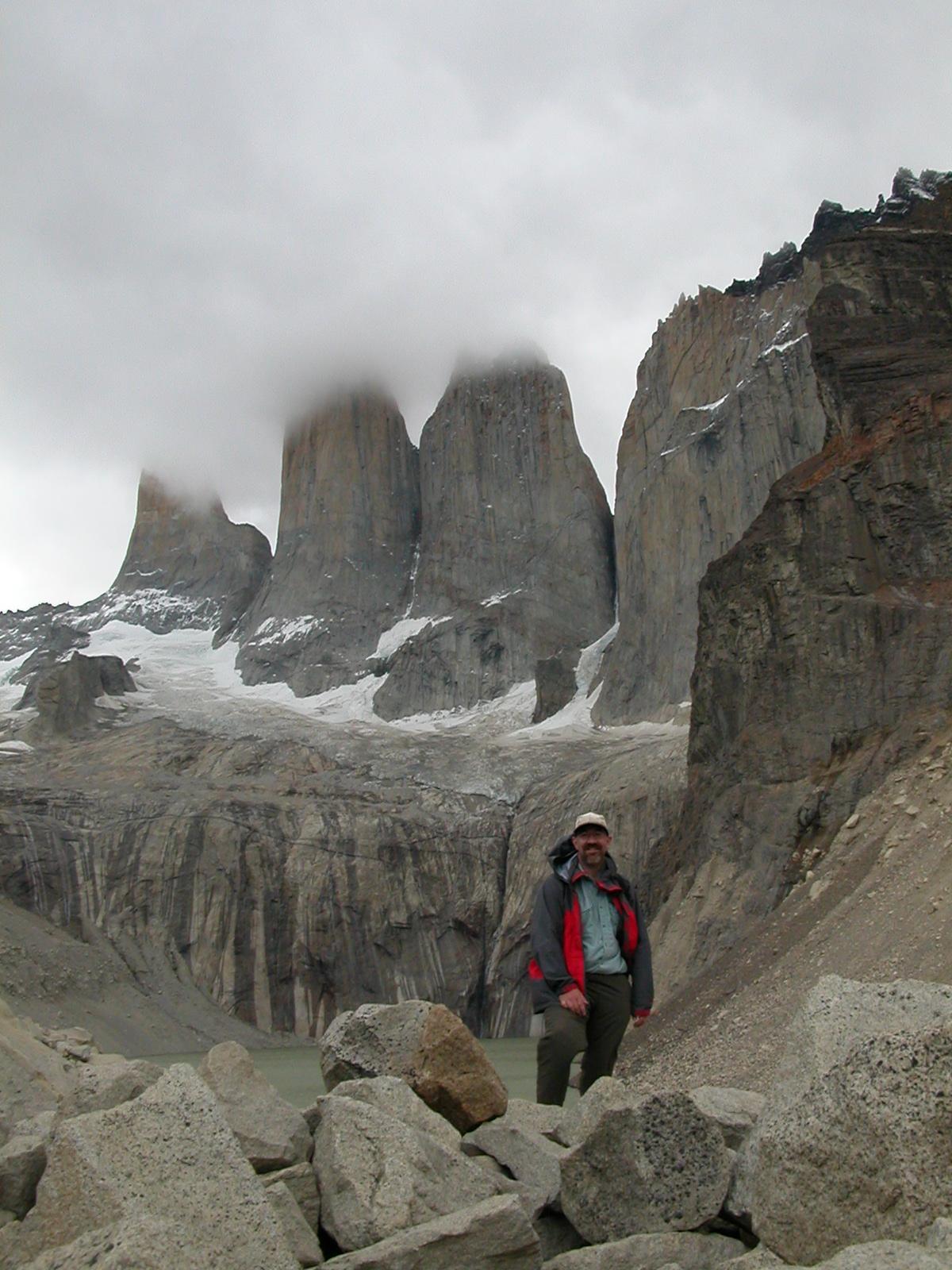
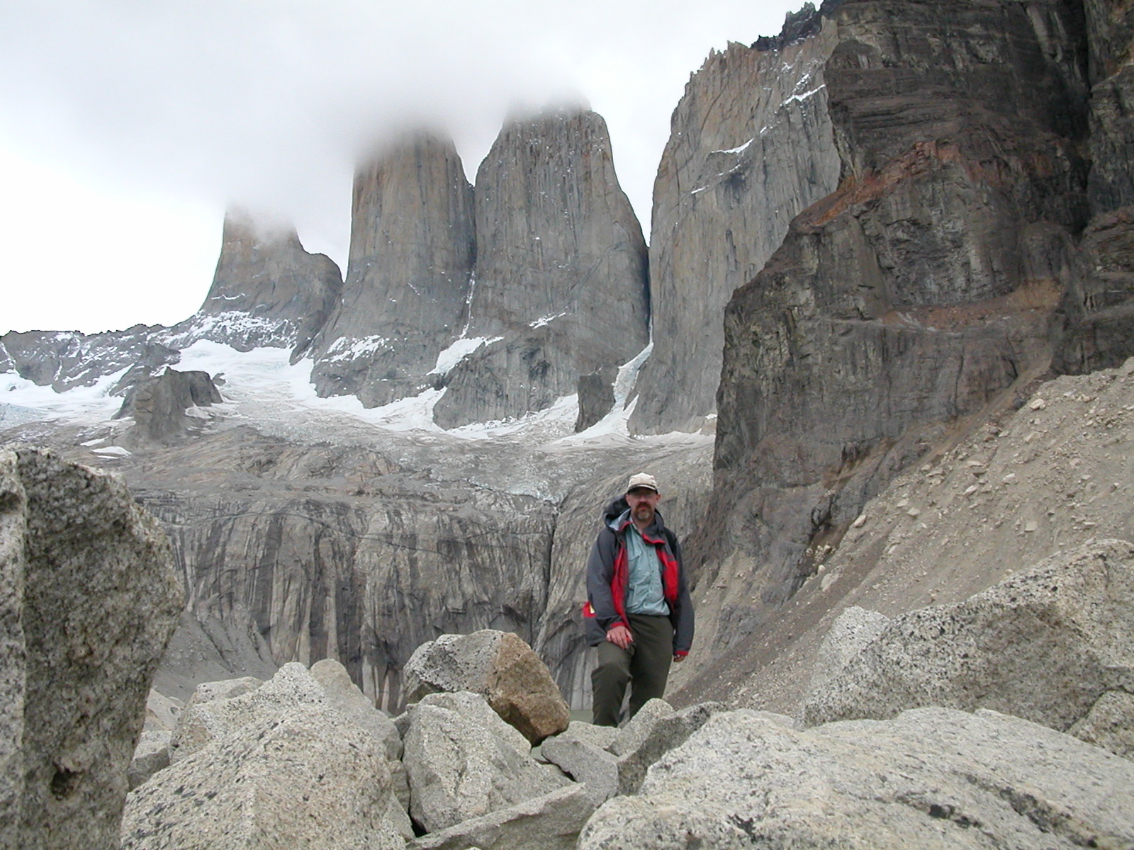
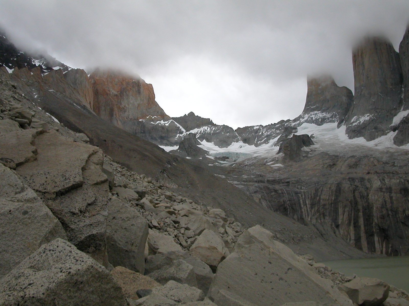
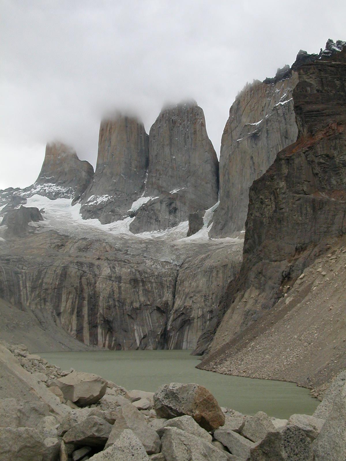
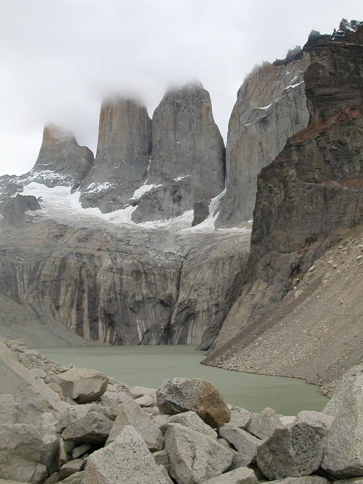
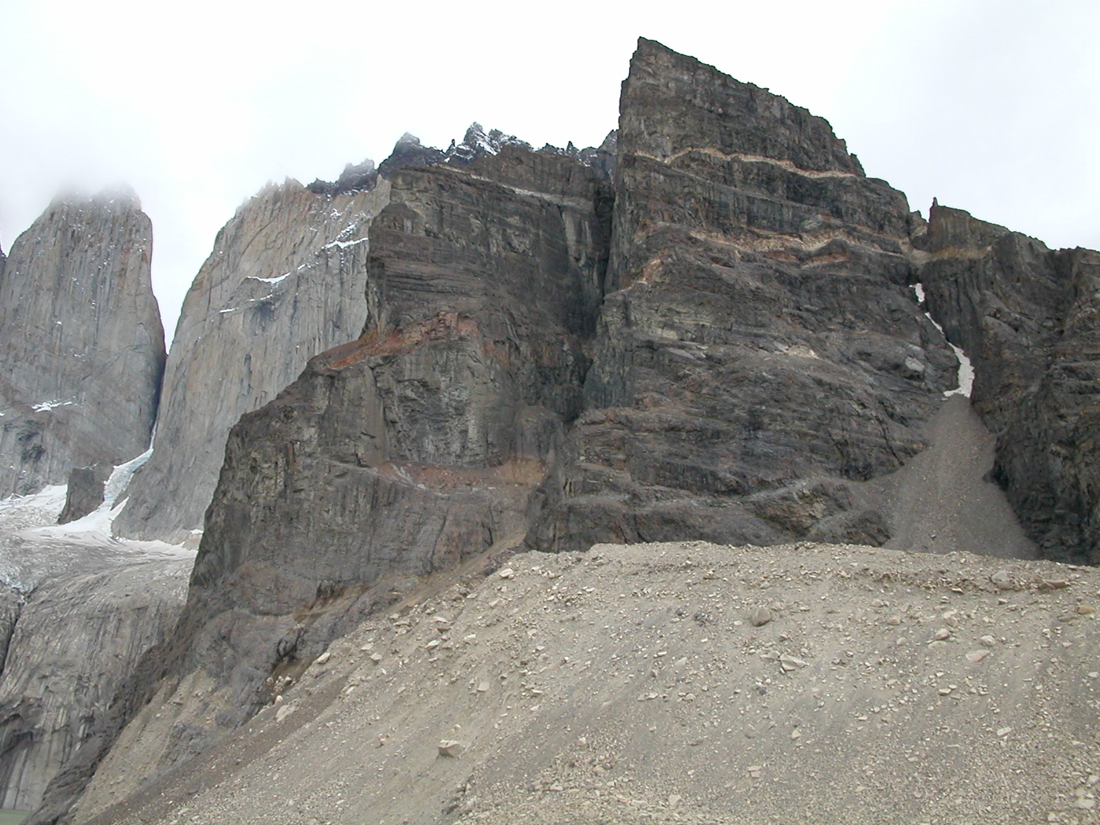
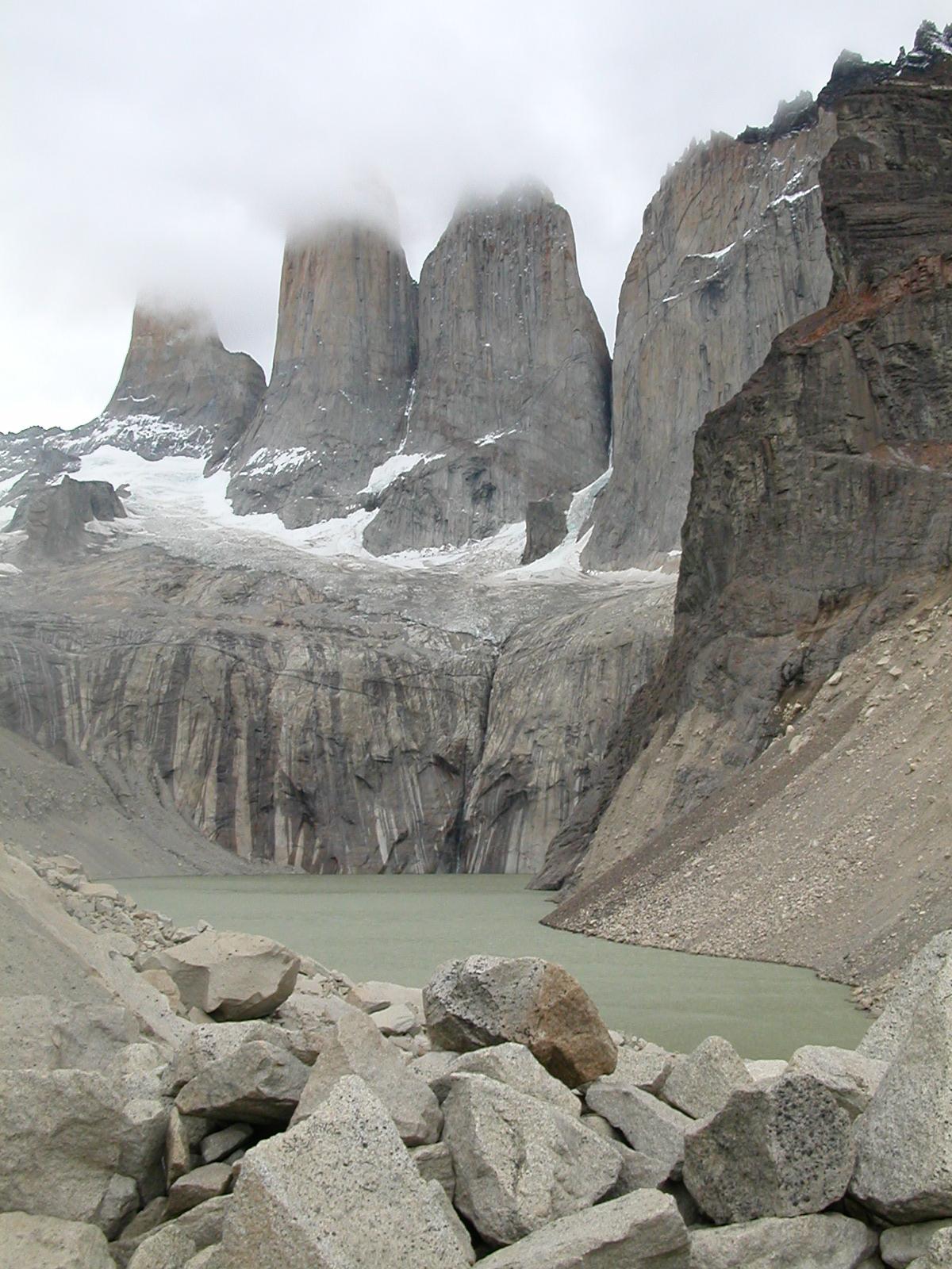
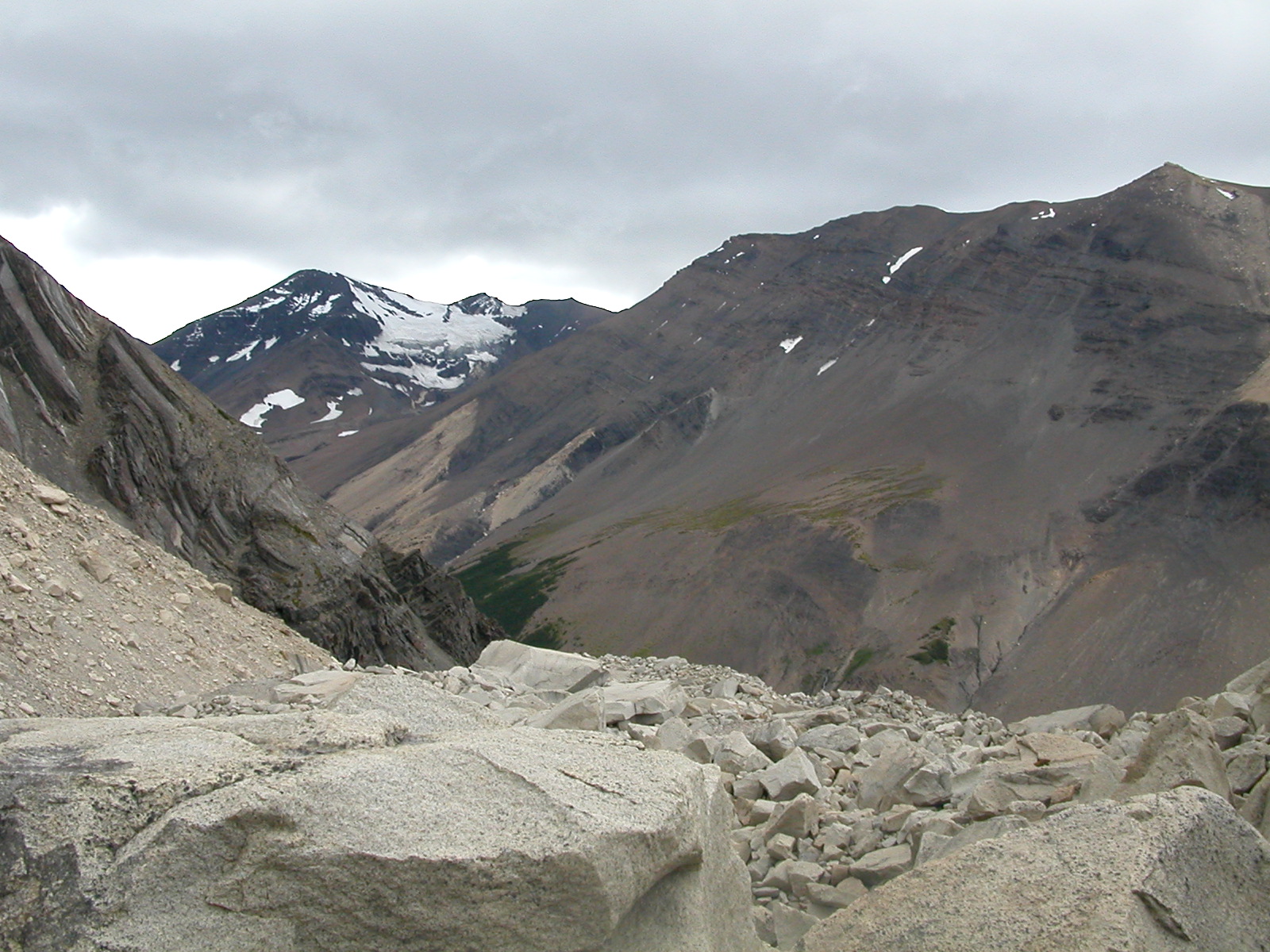
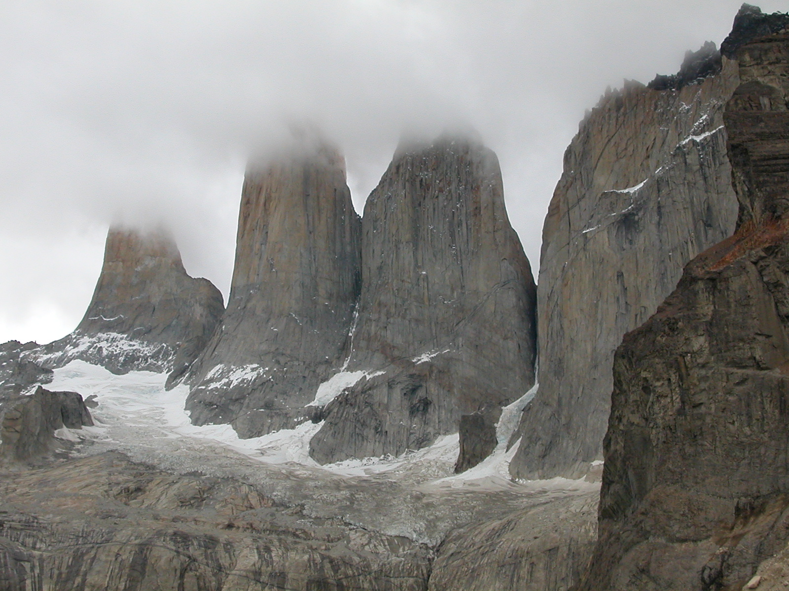
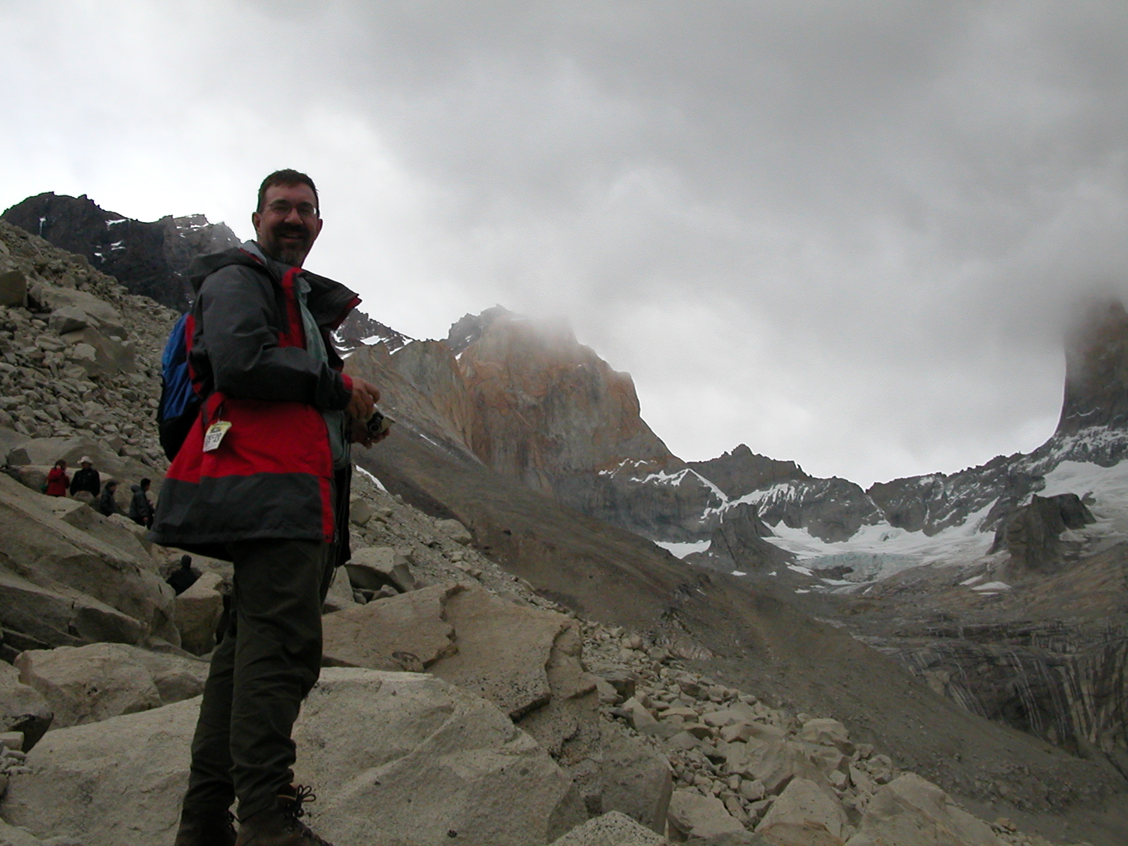
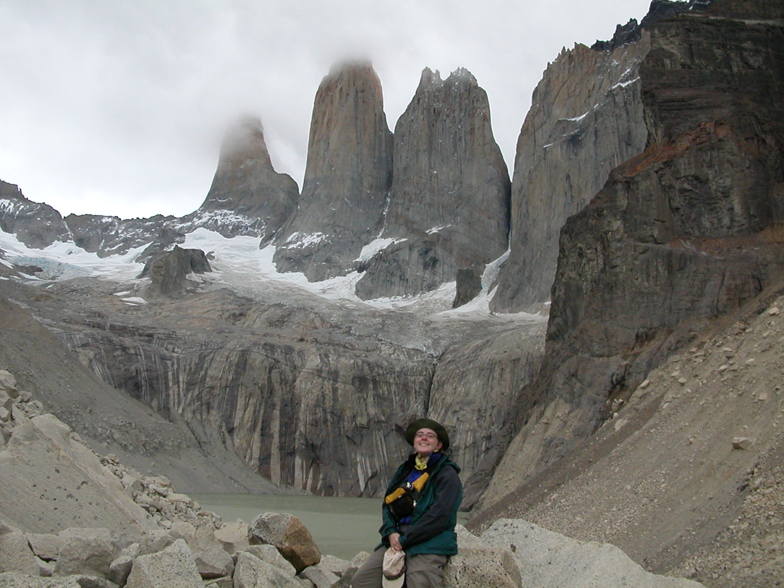
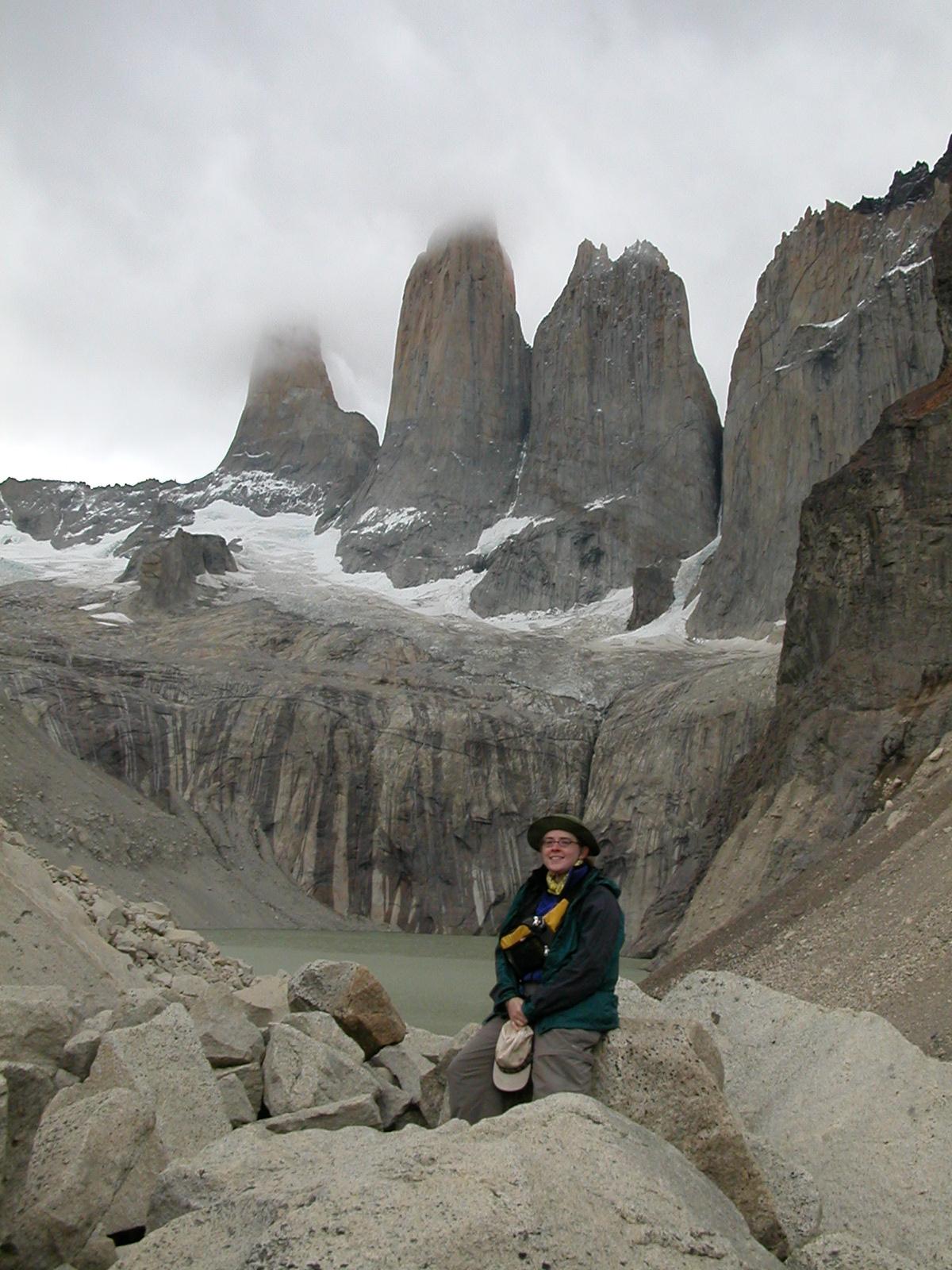
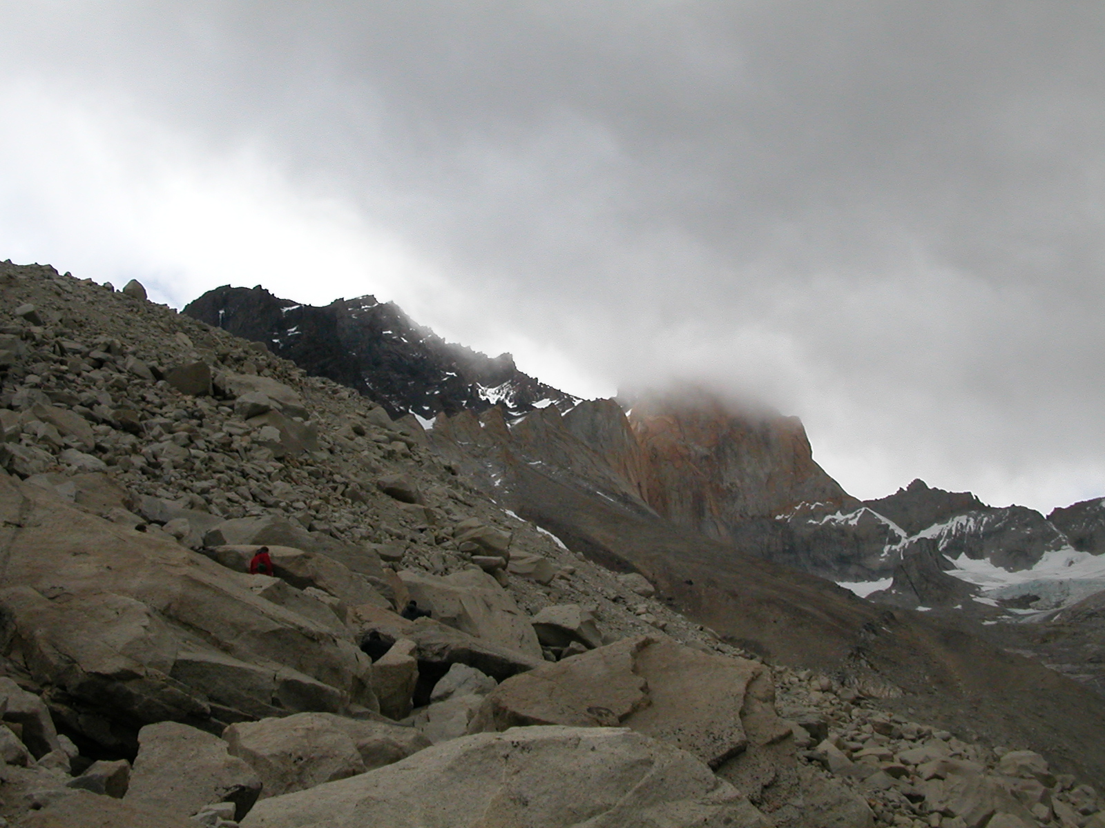
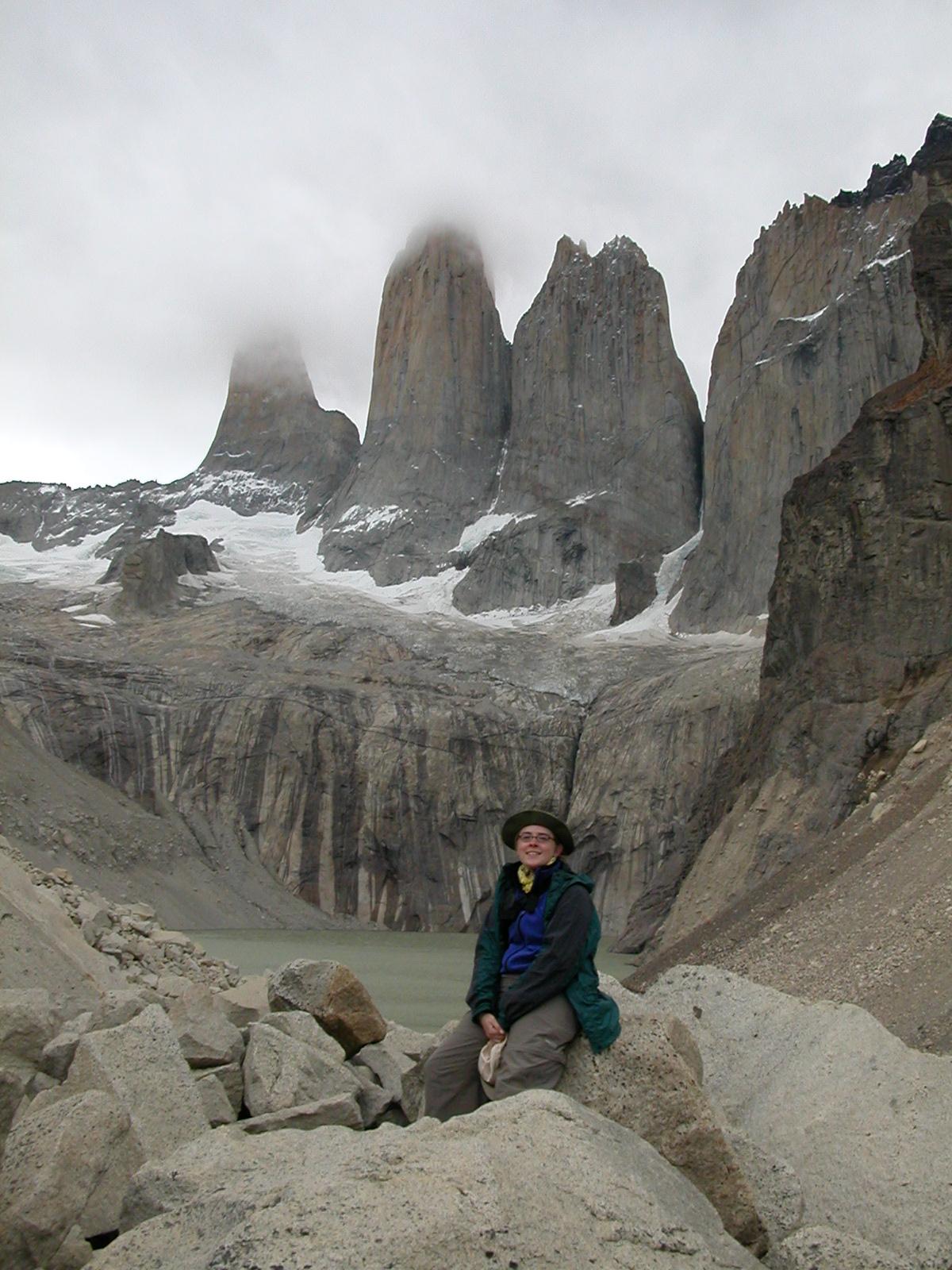
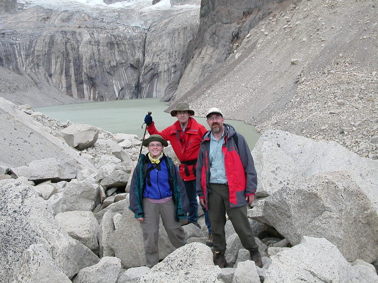
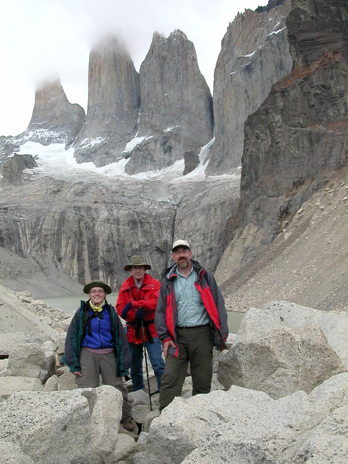
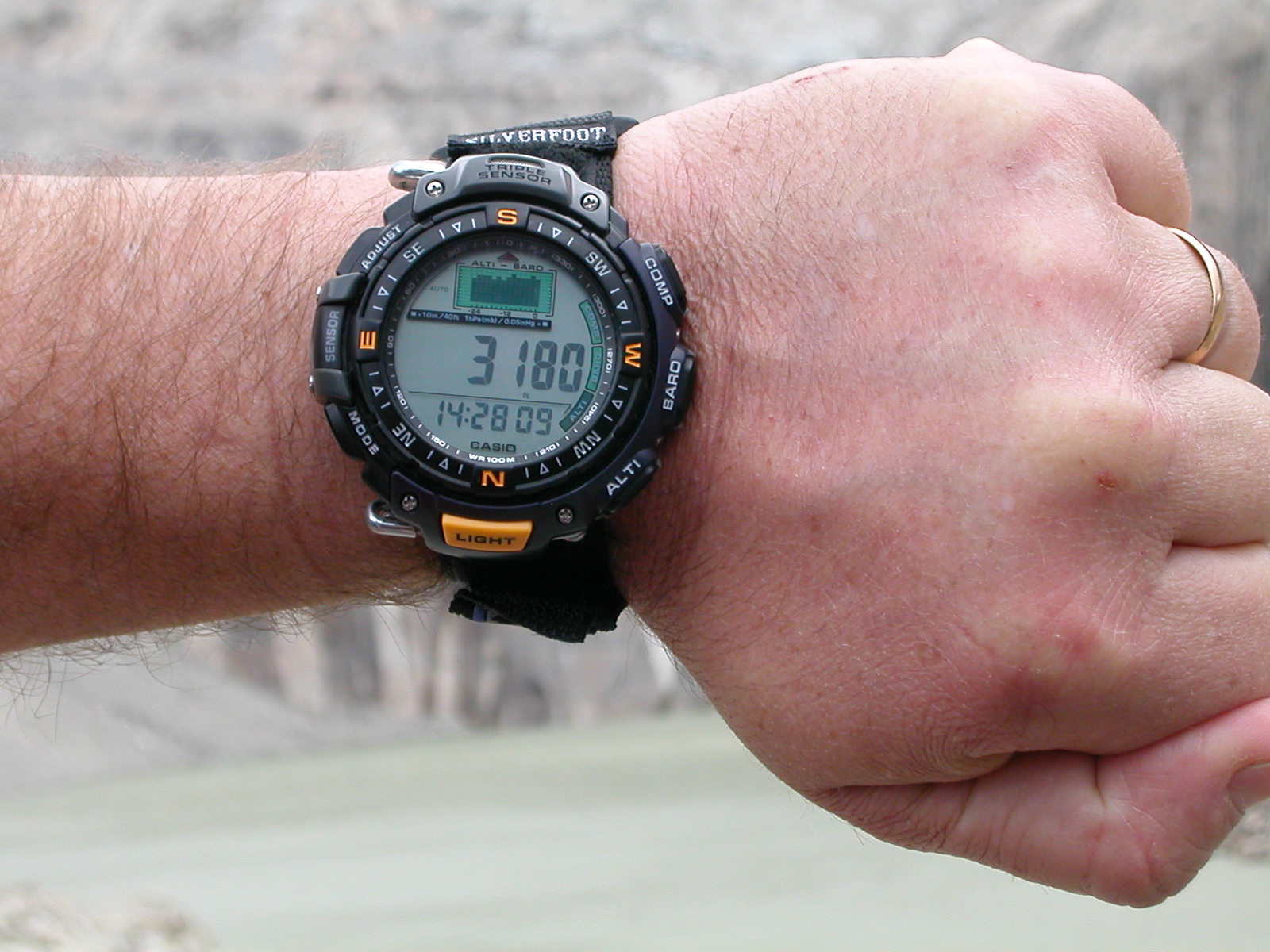
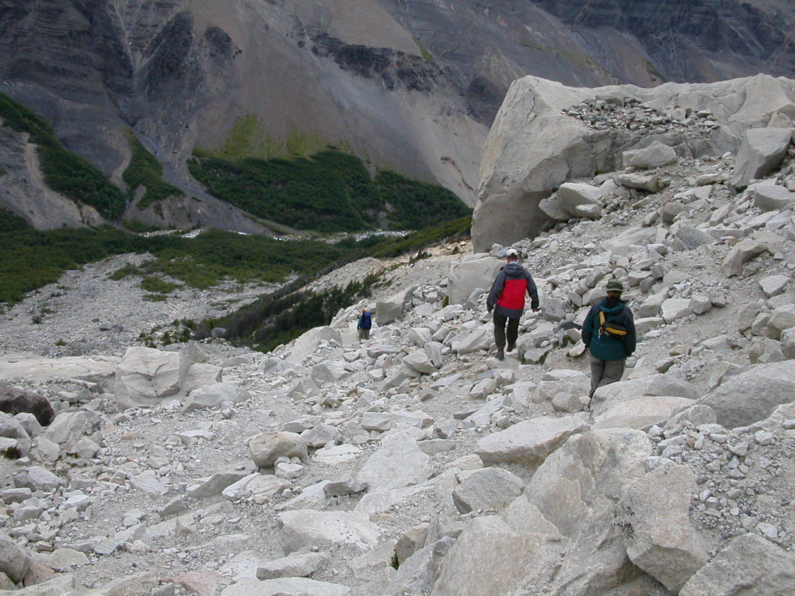
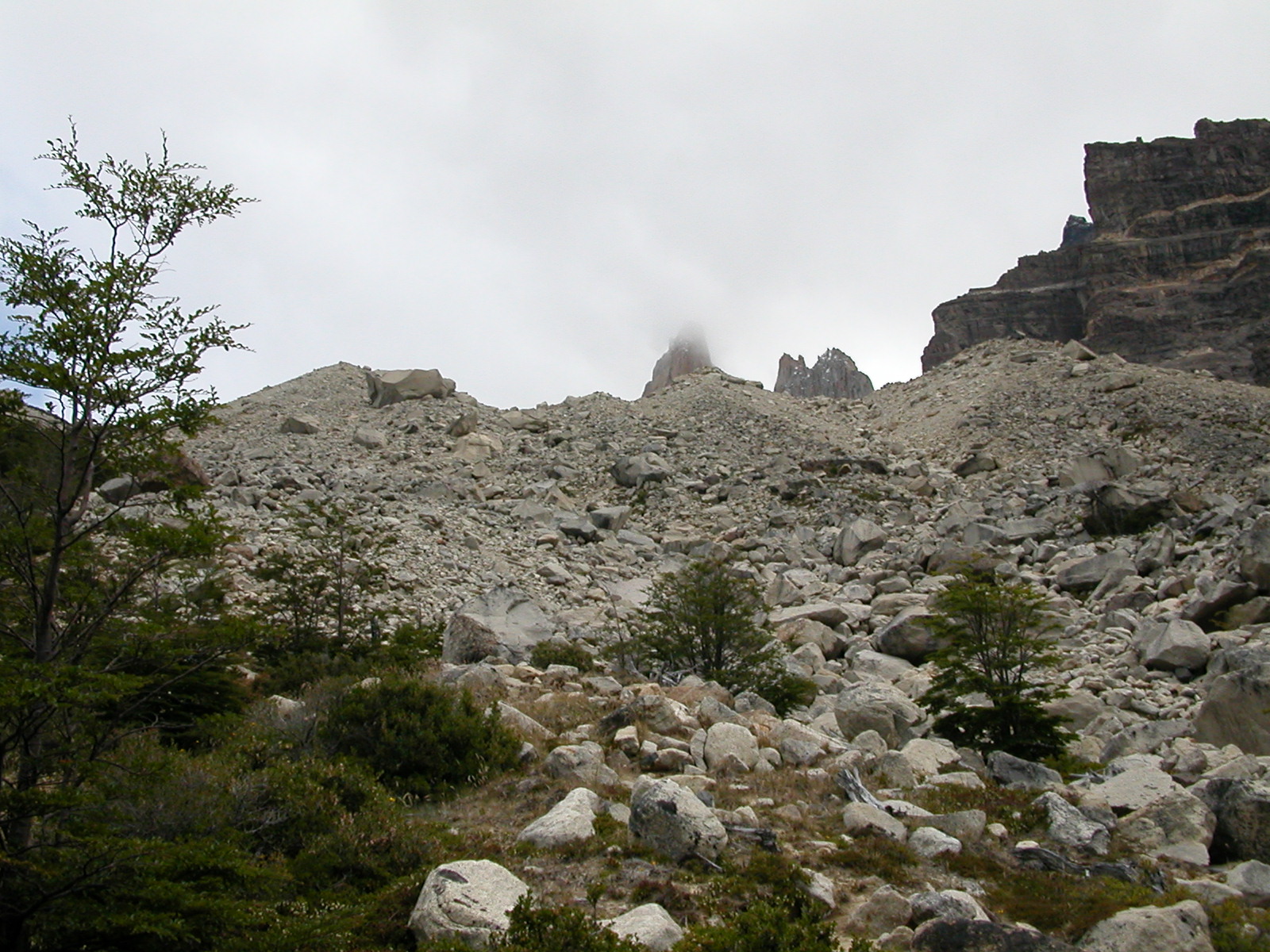
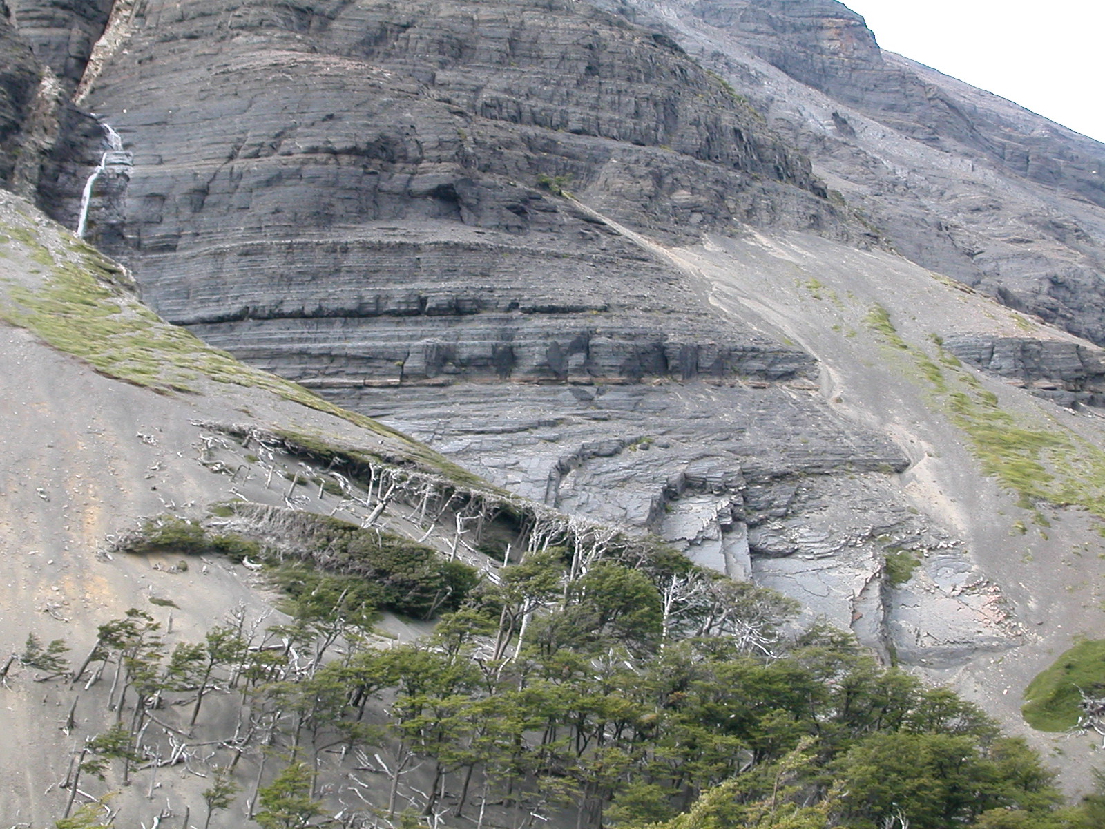
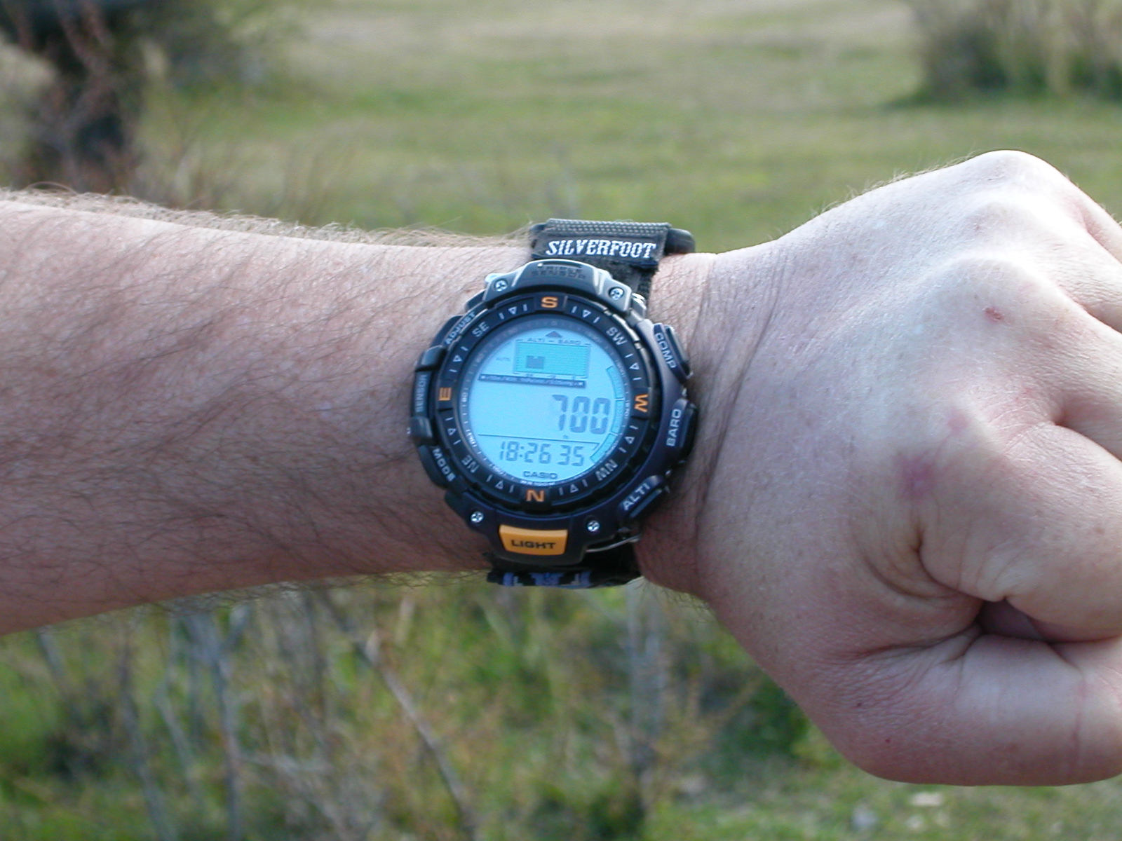
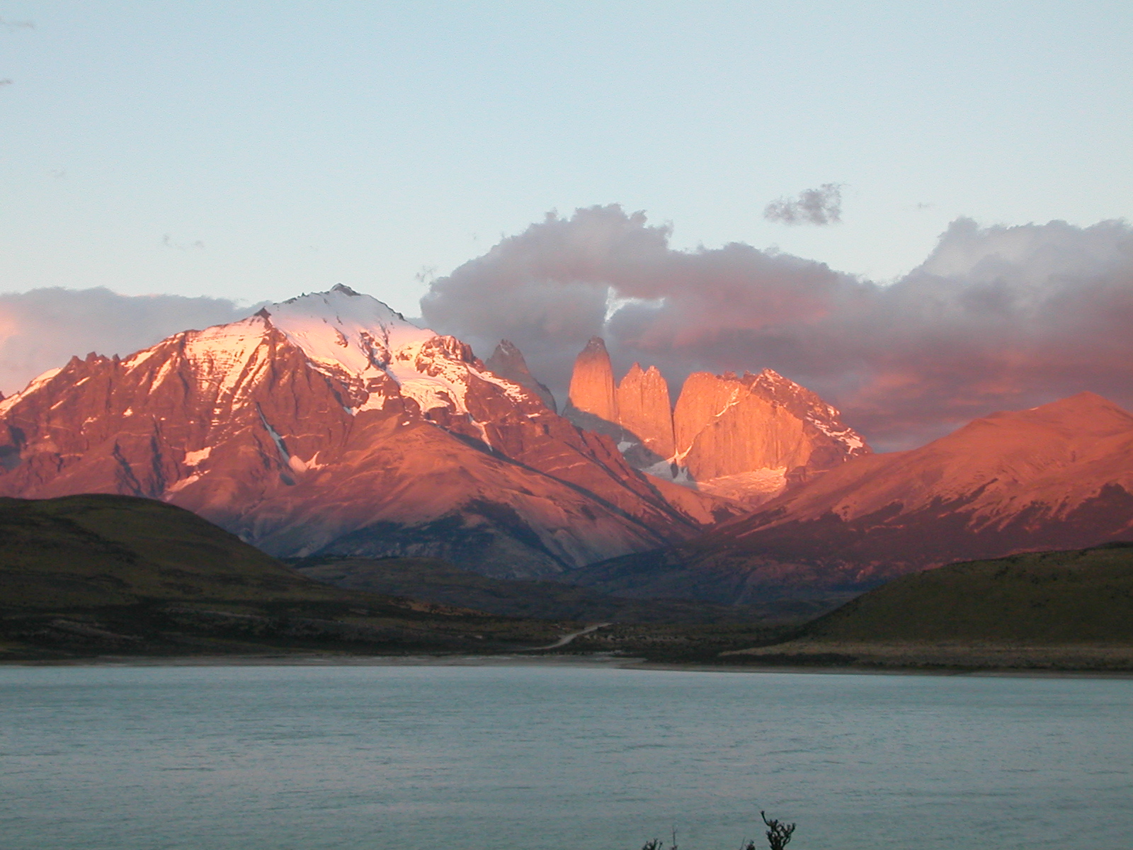
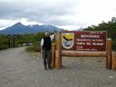
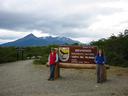
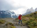
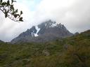
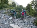
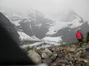
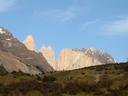
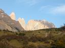
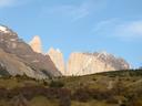
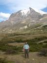
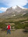
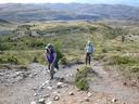
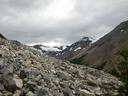
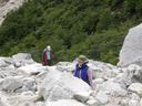
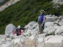
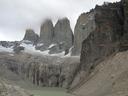
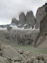
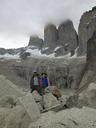
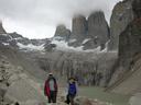
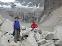
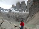
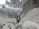
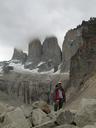
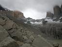
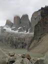
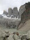
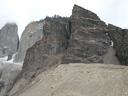
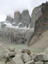
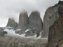
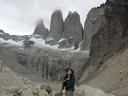
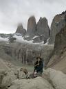
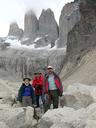
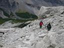
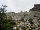
| Feb 10: Day Trek to the Mirador Torres del Paine |
|
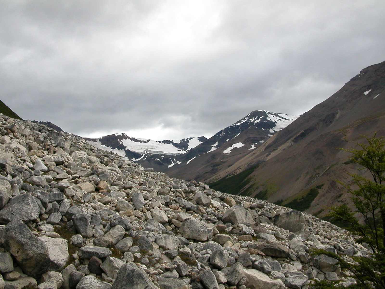
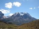
The high-point of our trip was a day trek from our base camp at Las
Torres to see the spires of the Torres del Paine. The trek took about 9
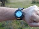
hours and covered about 20 miles (and about 2500 feet of altitude gain,
as recorded below on Darren's wrist-watch altimeter). The day dawned
clear and cold, but got progressively more cloudy, ending in rain and
wind by evening. After a long uphill trek, the final hour was a steep
scramble over a boulder field, at the top of which was a ridge that led
into the circe of the Torres. This is probably one of the most
spectacular vistas in all of South America.
|
| |

DSCN0390.jpg |
DSCN0391.jpg |
DSCN0392.jpg |
DSCN0393.jpg |
DSCN0394.jpg |
DSCN0395r.jpg |
DSCN0396r.jpg |
DSCN0397.jpg |

DSCN0398.jpg |
DSCN0399.jpg |

DSCN0400r.jpg |
DSCN0401.jpg |

DSCN0402.jpg |
DSCN0403.jpg |
DSCN0404.jpg |
DSCN0405.jpg |
DSCN0406r.jpg |
DSCN0407r.jpg |
DSCN0408.jpg |
DSCN0409.jpg |

DSCN0410r.jpg |
DSCN0411.jpg |
DSCN0412.jpg |
DSCN0413r.jpg |

DSCN0414.jpg |
DSCN0415.jpg |
DSCN0416r.jpg |
DSCN0417r.jpg |
DSCN0418.jpg |
DSCN0419r.jpg |
DSCN0420.jpg |
DSCN0421.jpg |

DSCN0422.jpg |
DSCN0423.jpg |
DSCN0424r.jpg |
DSCN0425.jpg |

DSCN0426r.jpg |
DSCN0427.jpg |
DSCN0428r.jpg |

DSCN0429.jpg |
DSCN0430.jpg |
DSCN0431.jpg |
DSCN0432.jpg |
DSCN0433.jpg |
DSCN0434.jpg |
DSCN0435.jpg |

DSCN0436.jpg |
DSCN0437.jpg |
|
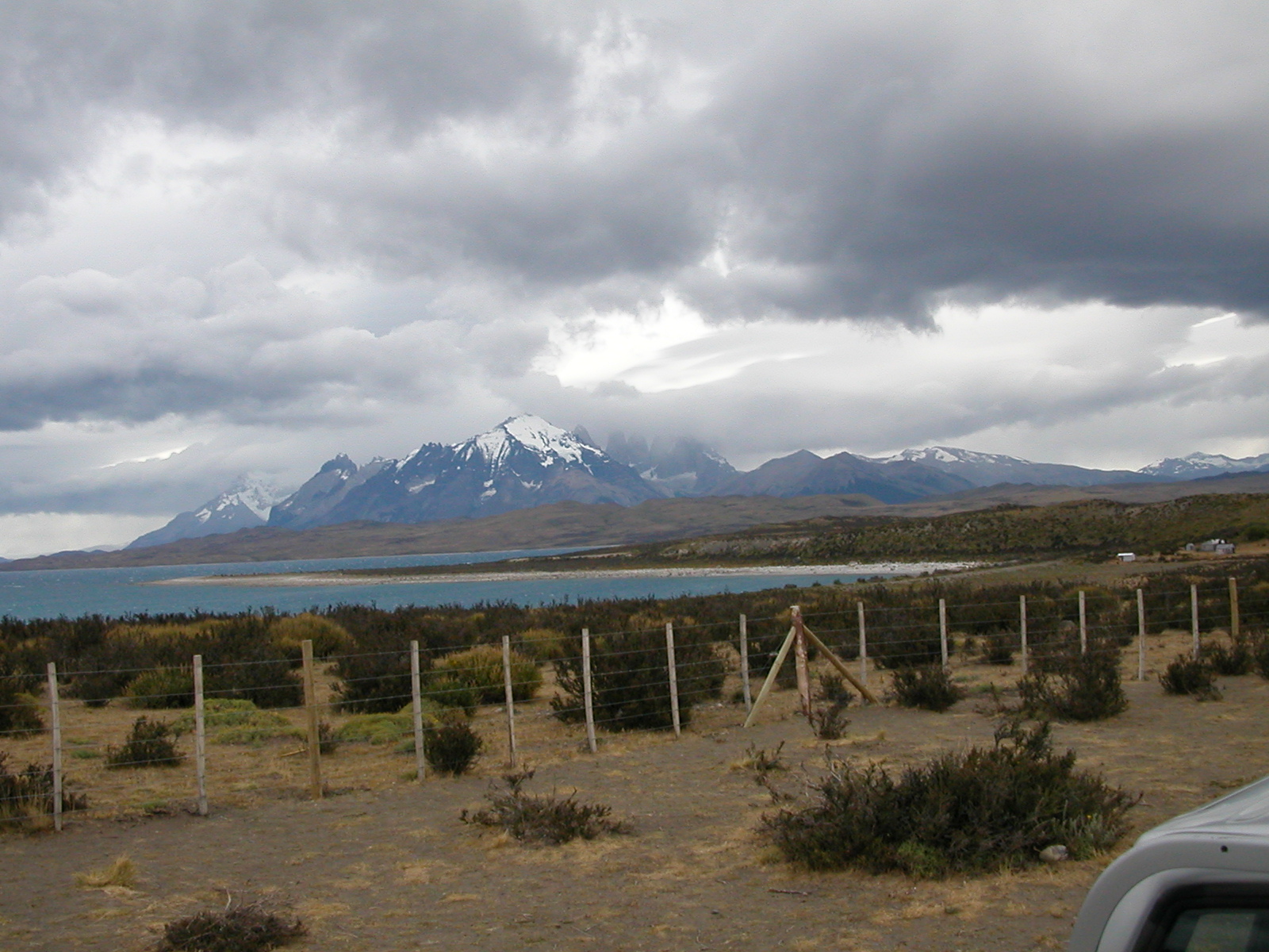
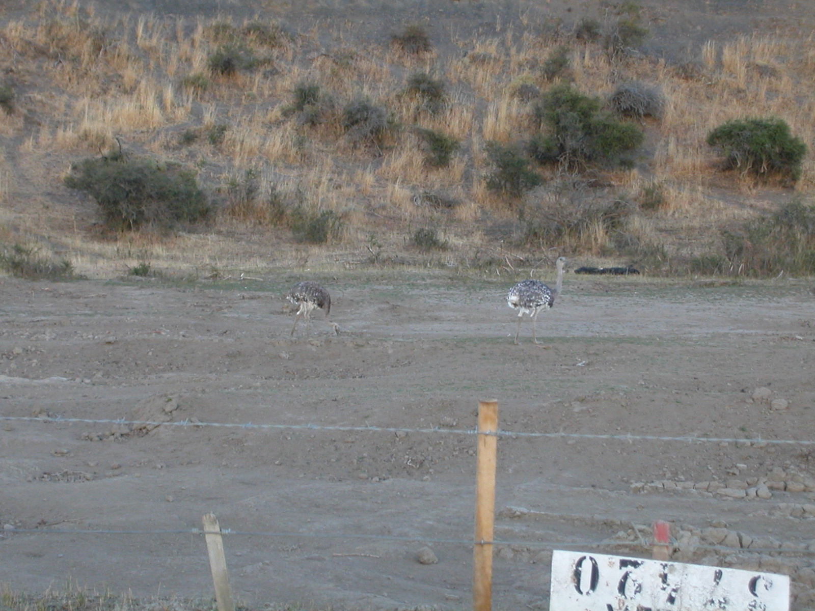
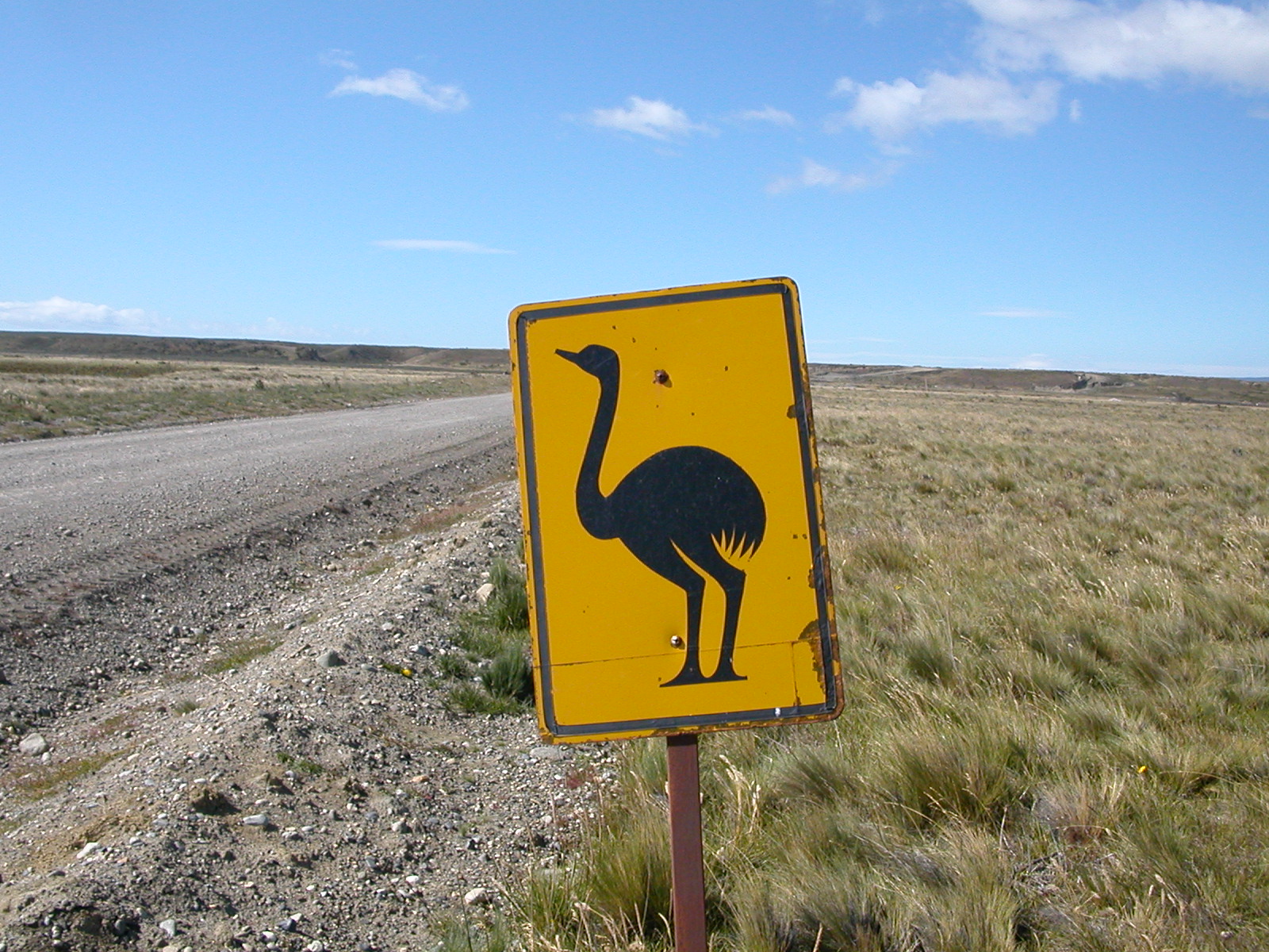
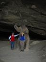
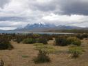
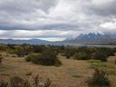
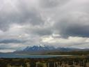
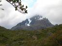
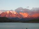
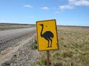
| Feb 11: Return to Punta Arenas |
| The day dawned with extremely high winds
that were blowing our tents down, so we decided to bug out and return to
Punta Arenas. We later learned that the sustained windspeed in the park
was in excess of 100 km/h (gusts were, of course, stronger). Our final
view of the park was of the Paine massif in the early morning light seen
across Lago Sarmiento. Along the way back, we saw this pair of Darwin's
Rheas by the side of the road to Puerto Natales.
|
| |
DSCN0438.jpg |
DSCN0441.jpg |
|
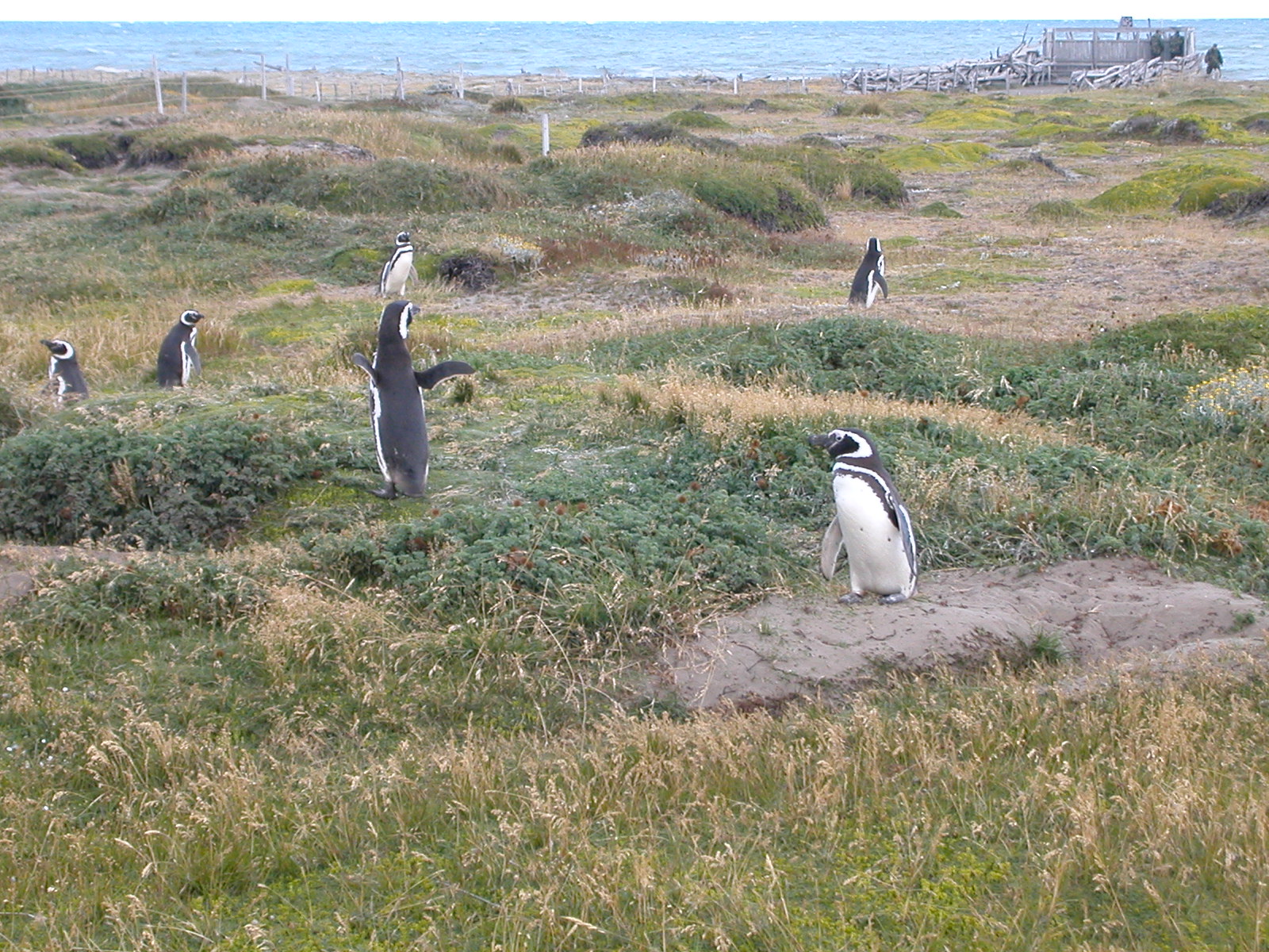
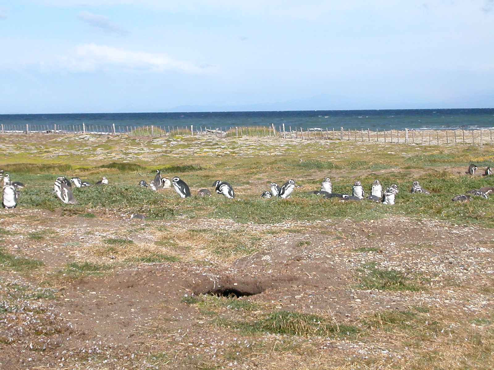
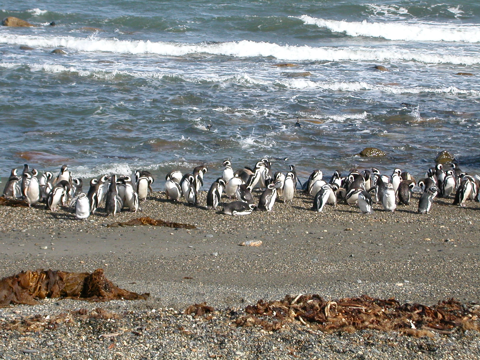
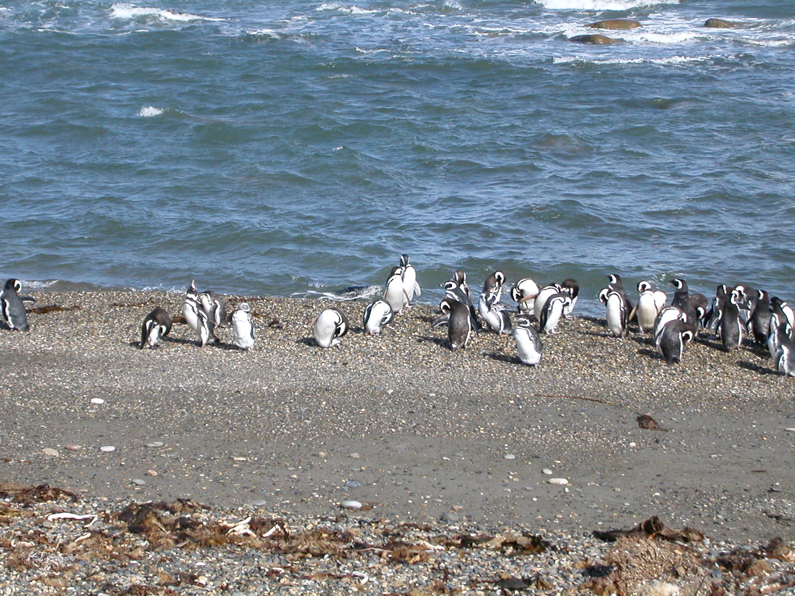
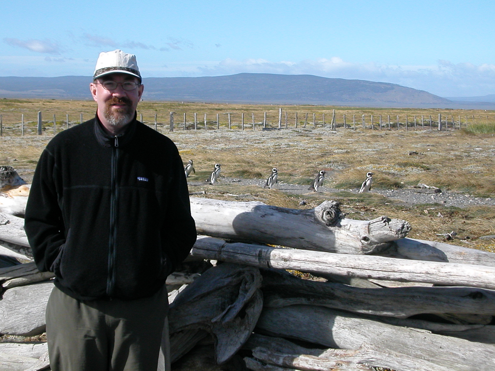
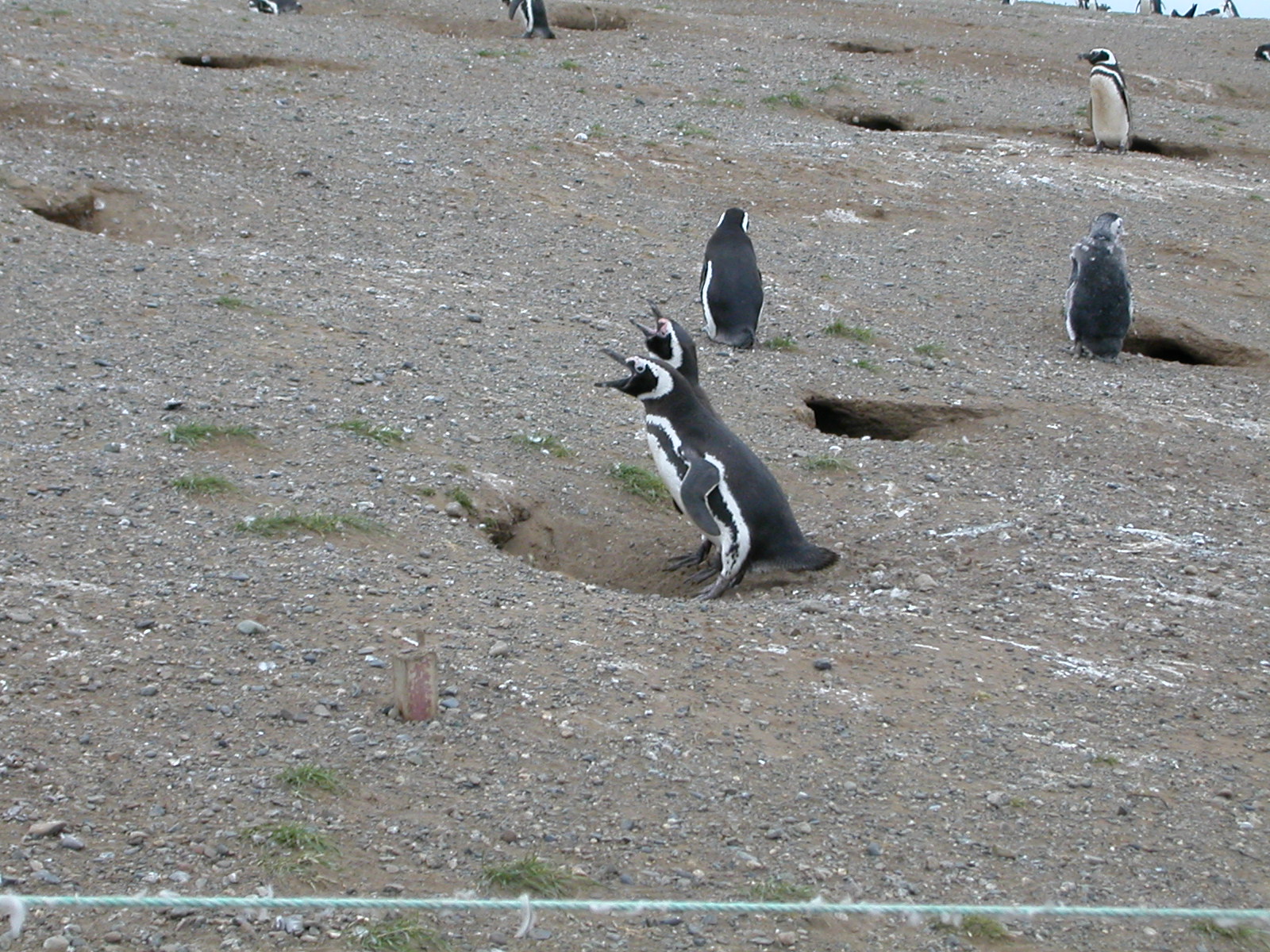
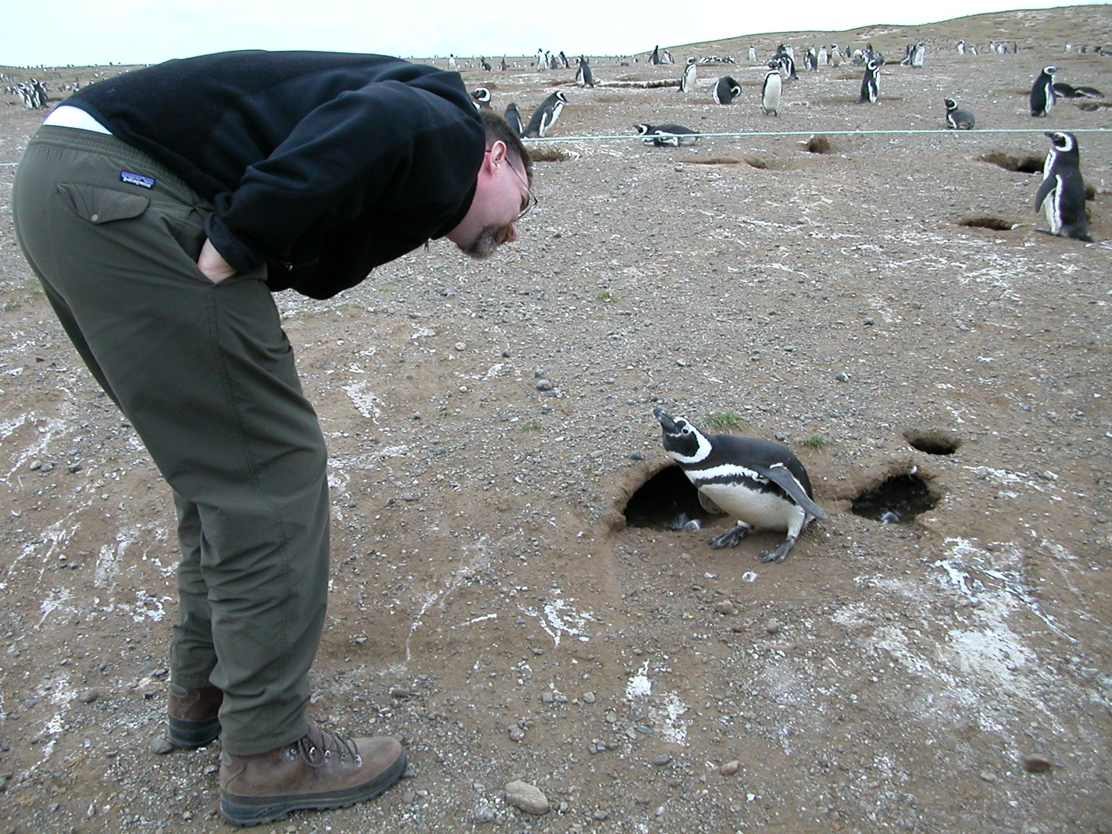
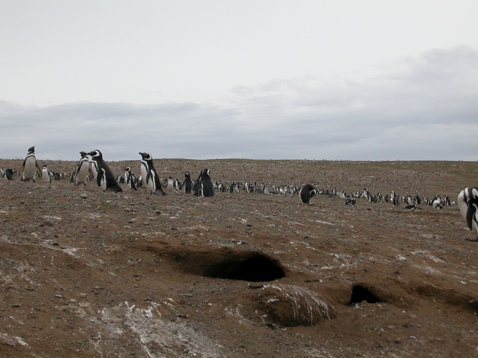
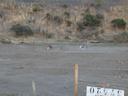
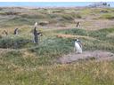
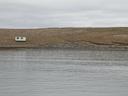
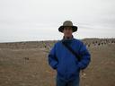
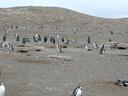
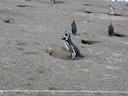
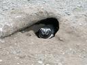
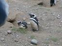
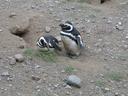
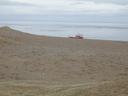
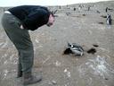
| Feb 12: Seno Otway Penguin Reserve |
| Seno Otway is a sound on the opposite side
of the peninsula from Punta Arenas (about 60km away). It is the site
of one of the two main nesting areas for the Magellanic Penguin. The
Magellanic Penguin is also known as the "Jackass Penguin" for its
characteristic donkey-like braying call. On this day the juvenal penguins
hatched in the previous month were down on the shore learning to swim.
|
| |
DSCN0442.jpg |
DSCN0443.jpg |
DSCN0444.jpg |

DSCN0445.jpg |
DSCN0446.jpg |

DSCN0447.jpg |
DSCN0448.jpg |
|
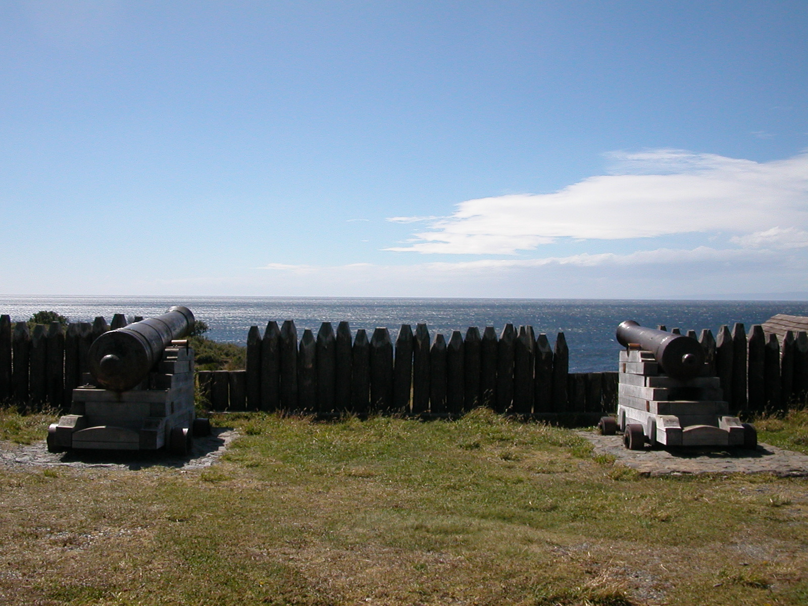
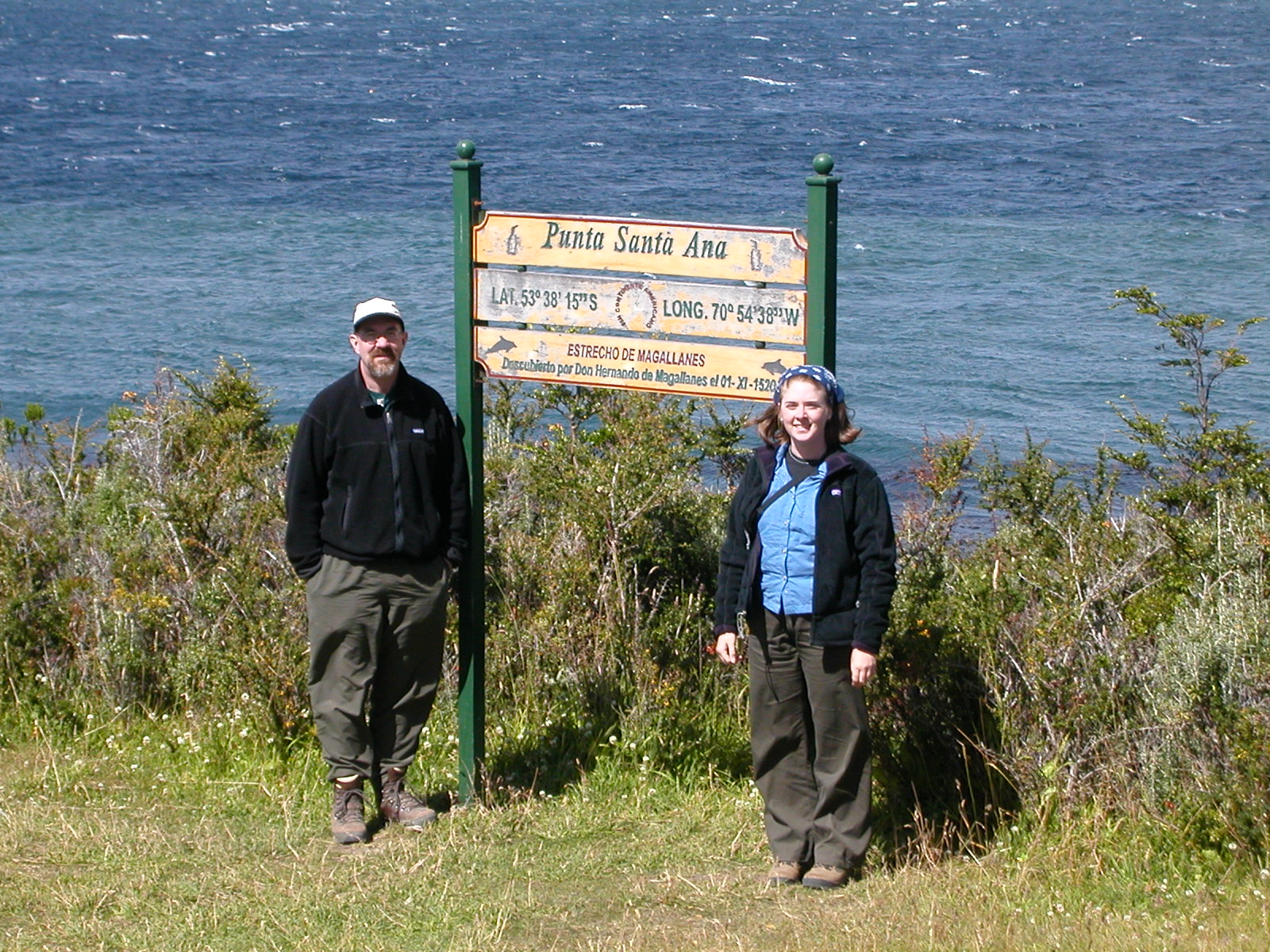
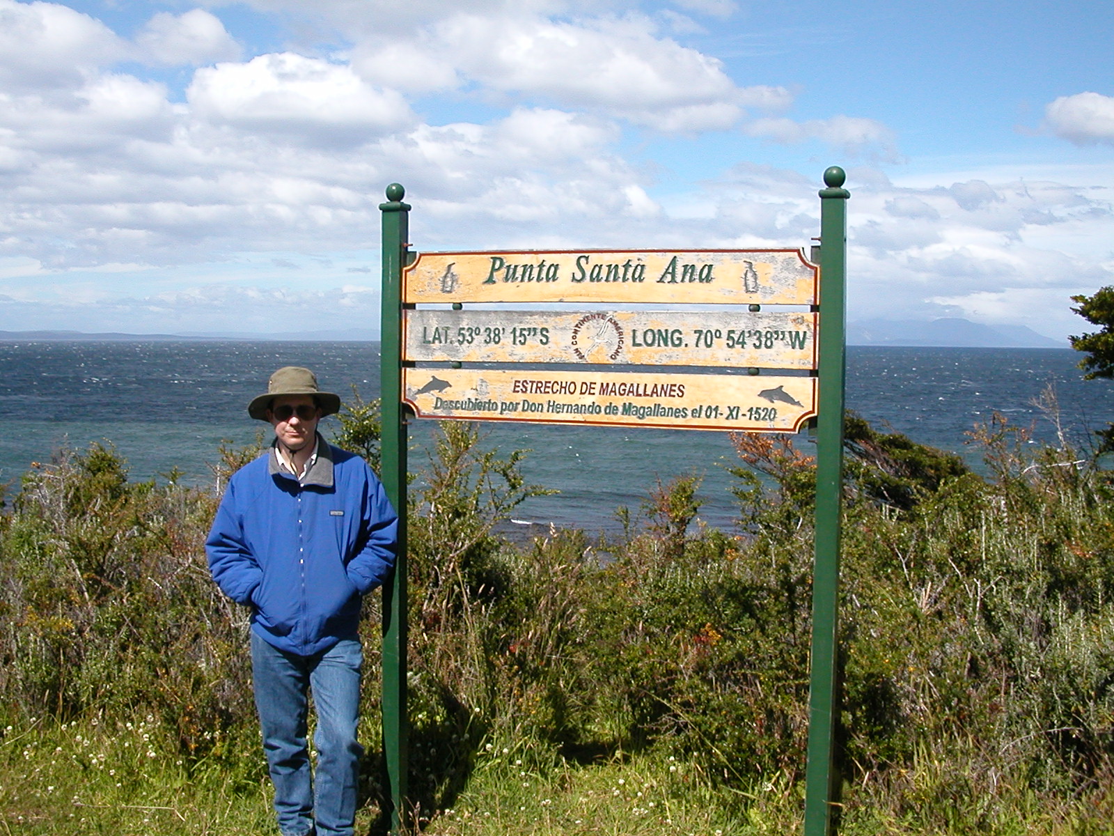
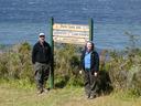
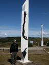
| Feb 12 (cont'd): Fuerto Bulnes & Punta Santa Ana (Straits of Magellan) |
| Fuerto Bulnes was the first permanent
Chilean habitation in Patagonia, established on a bluff overlooking
the Straits of Magellan in 1836. The weather here is terrible, so
they moved the settlement north to modern Punta Arenas. Nearby is
Point Famine, where Pedro Sarmiento de Gamboa's ill-fated settlement
was located in the 1530s. All but one of the 300 colonists died
of starvation. Punta Santa Ana is the furthest south you can reach
on the South American Continent proper, the true furthest-south being
Cape Froward, which has no roads leading to it. Because Chile claims
a wedge of Antartica, the roadhead above the point is the geographic
center of Chile, marked by an appropriately long and thin monument.
|
| |

DSCN0449.jpg |
DSCN0450.jpg |
DSCN0451.jpg |
DSCN0452.jpg |

DSCN0453.jpg |
DSCN0454r.jpg |
|
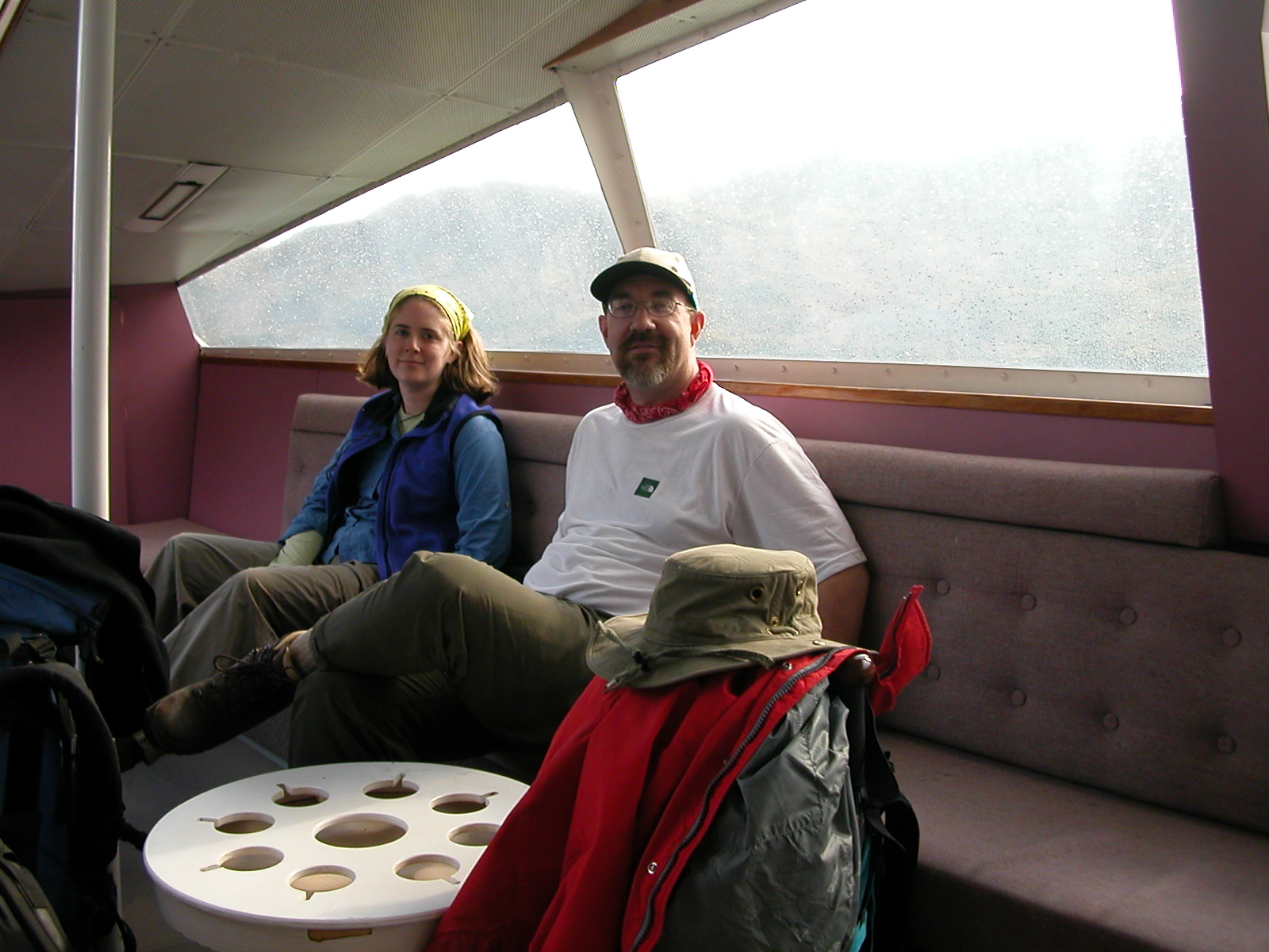
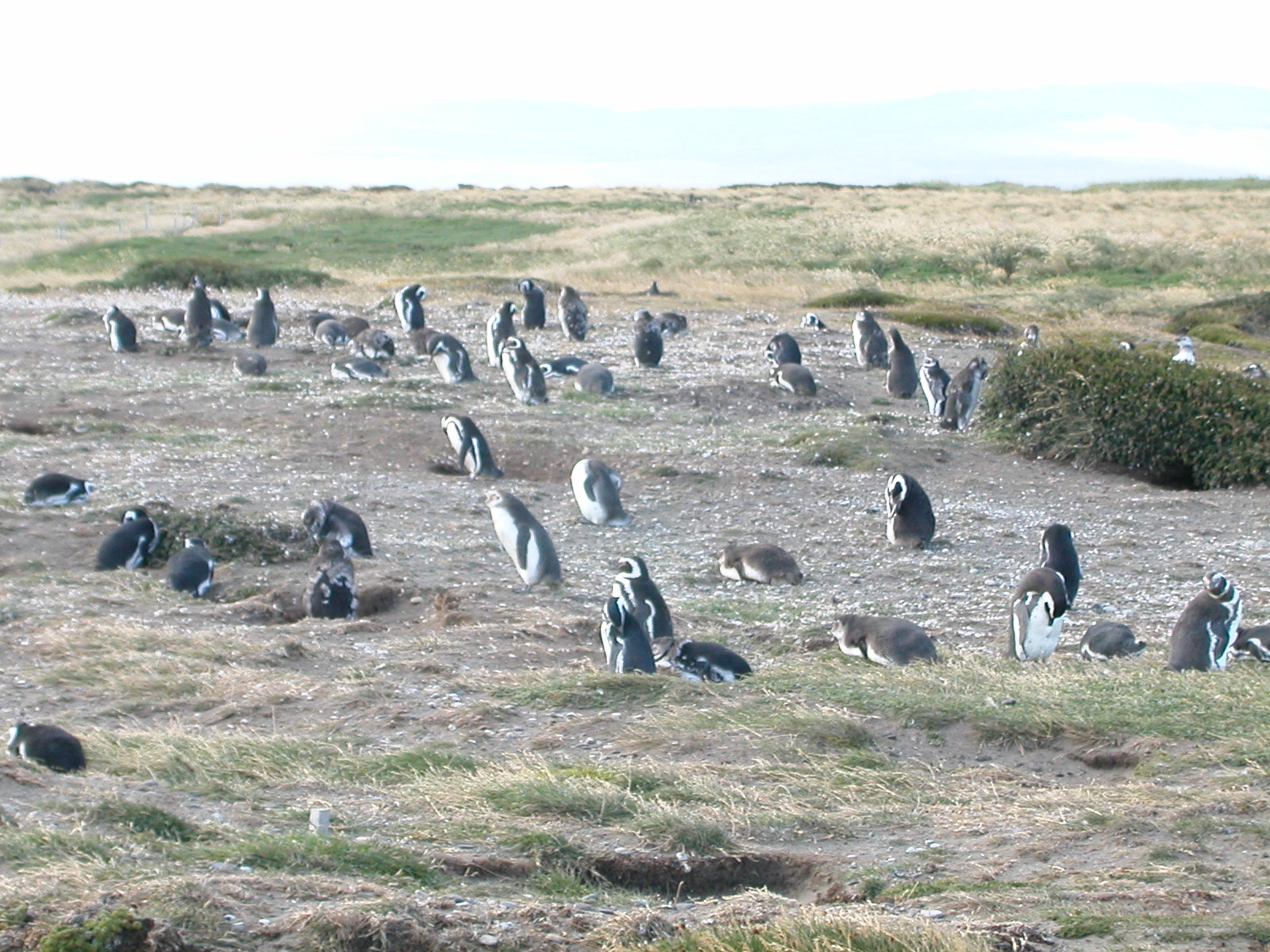
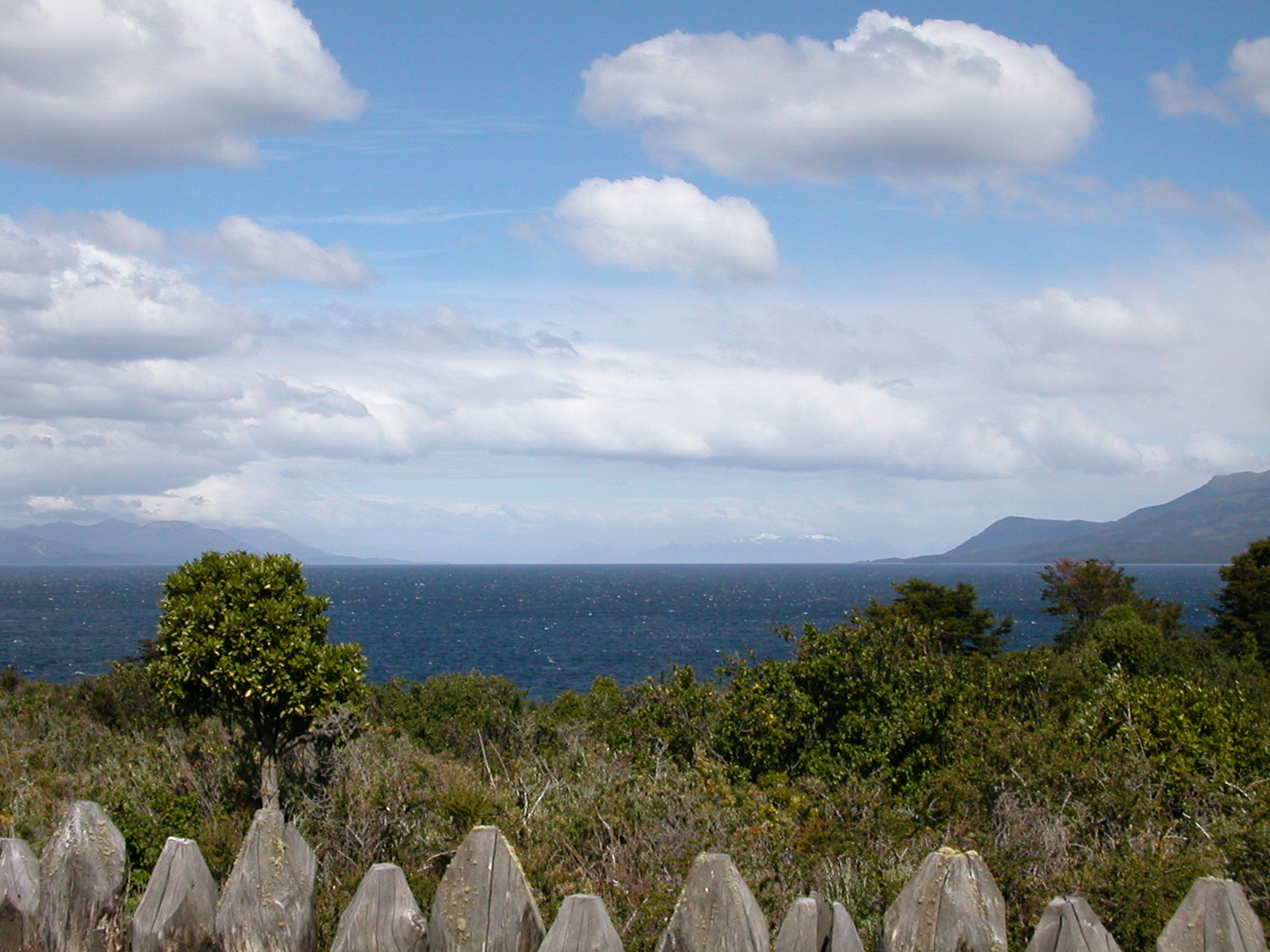
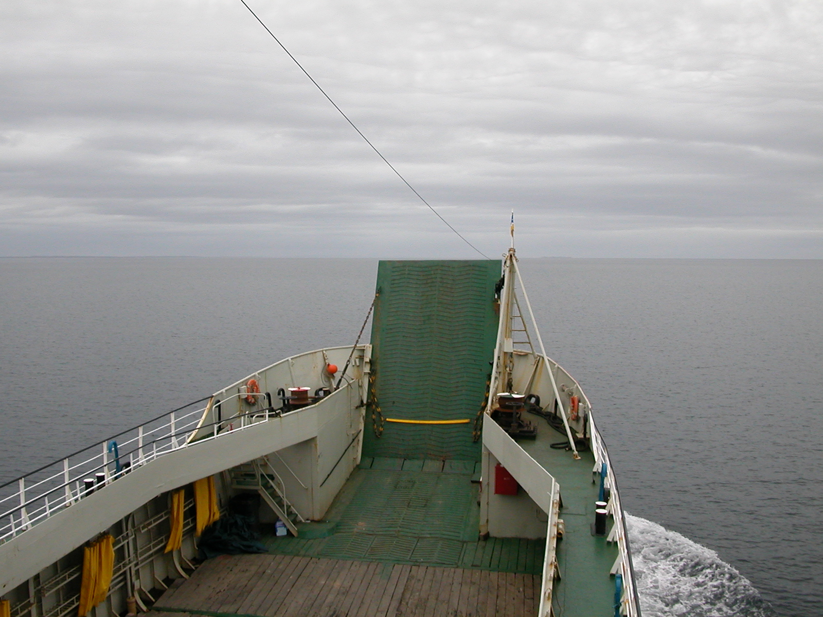
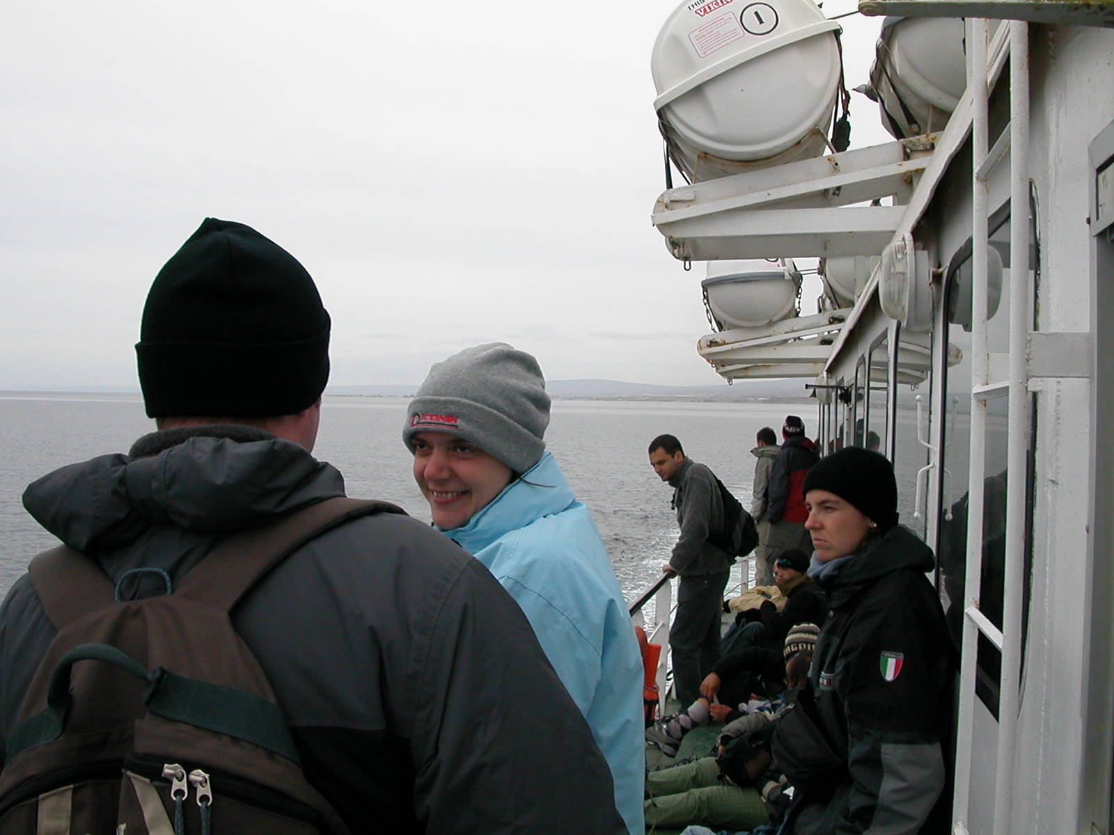
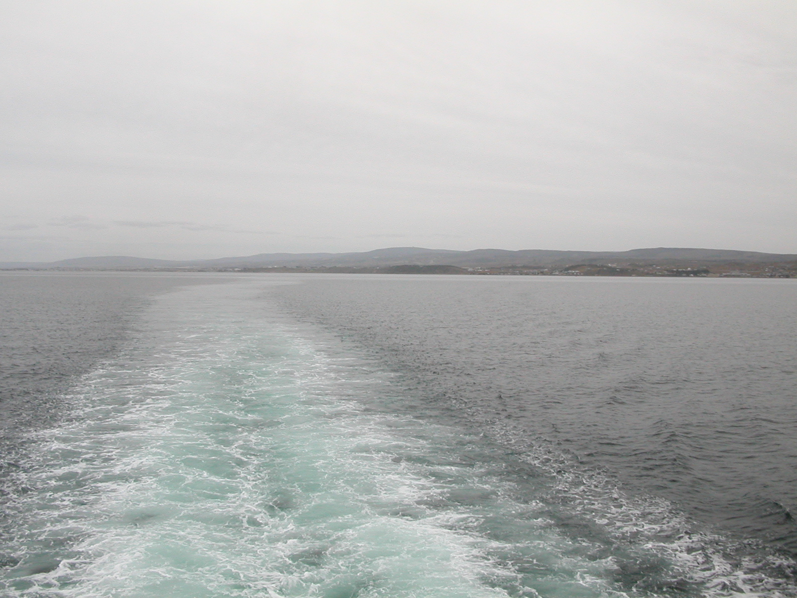
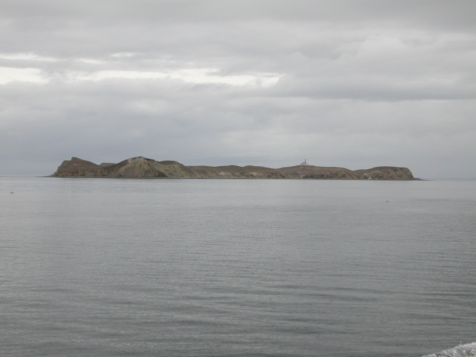
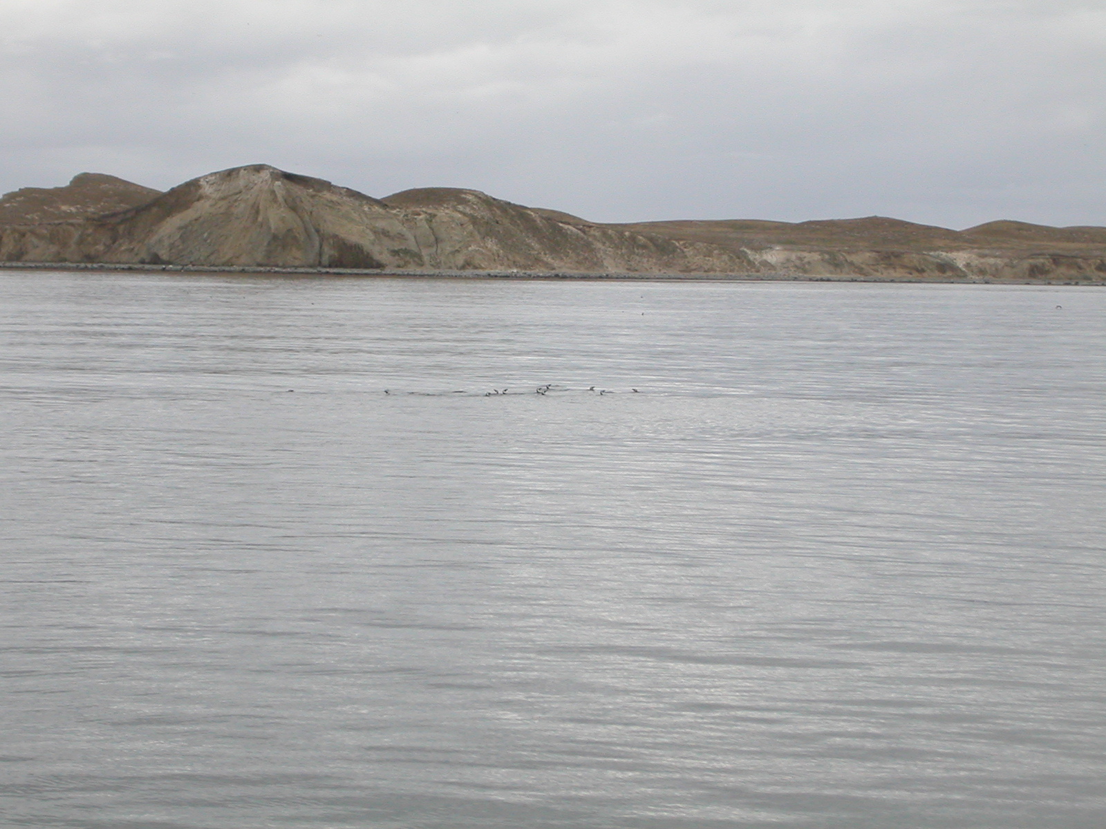
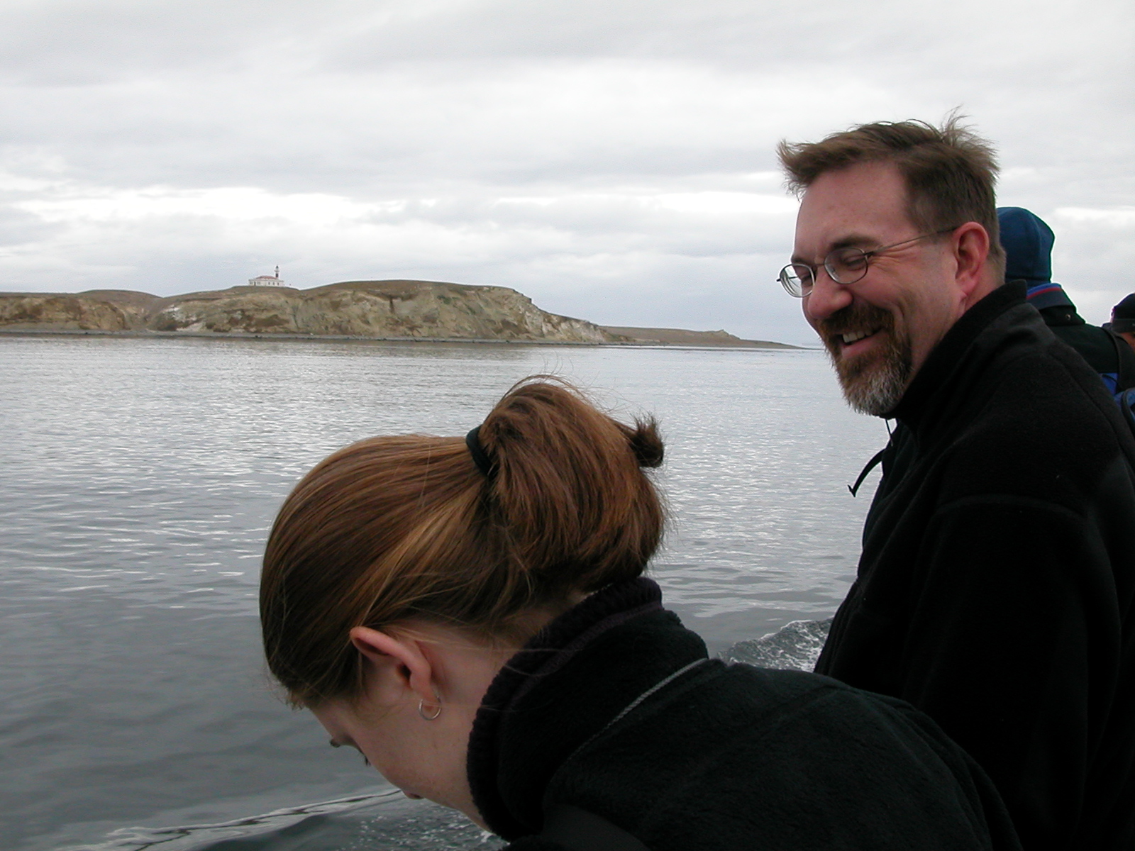
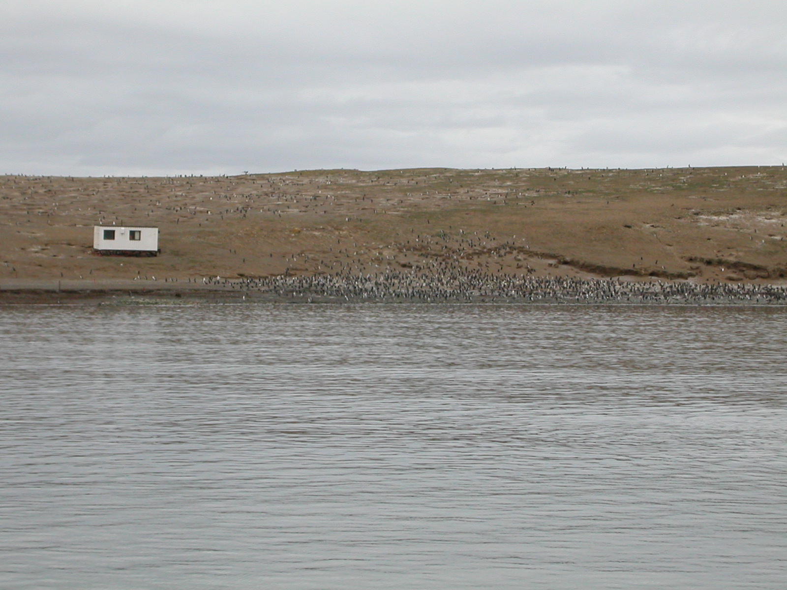
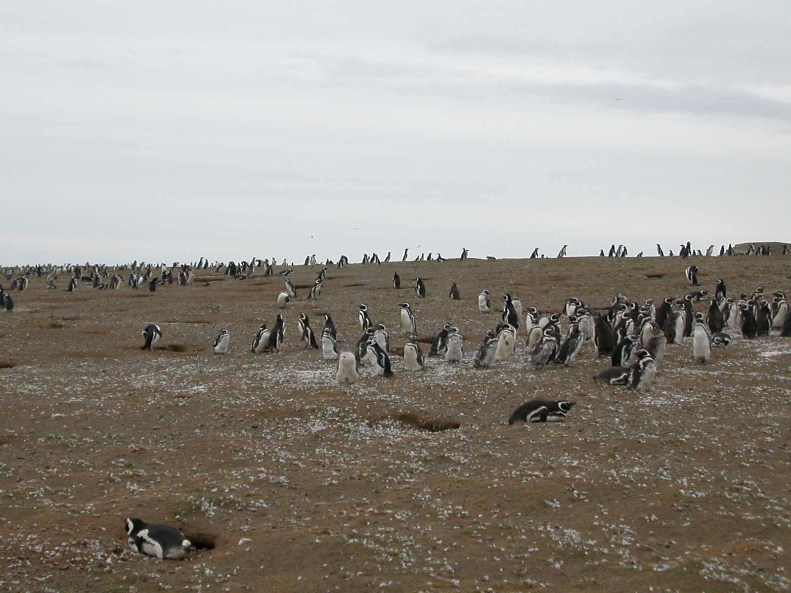
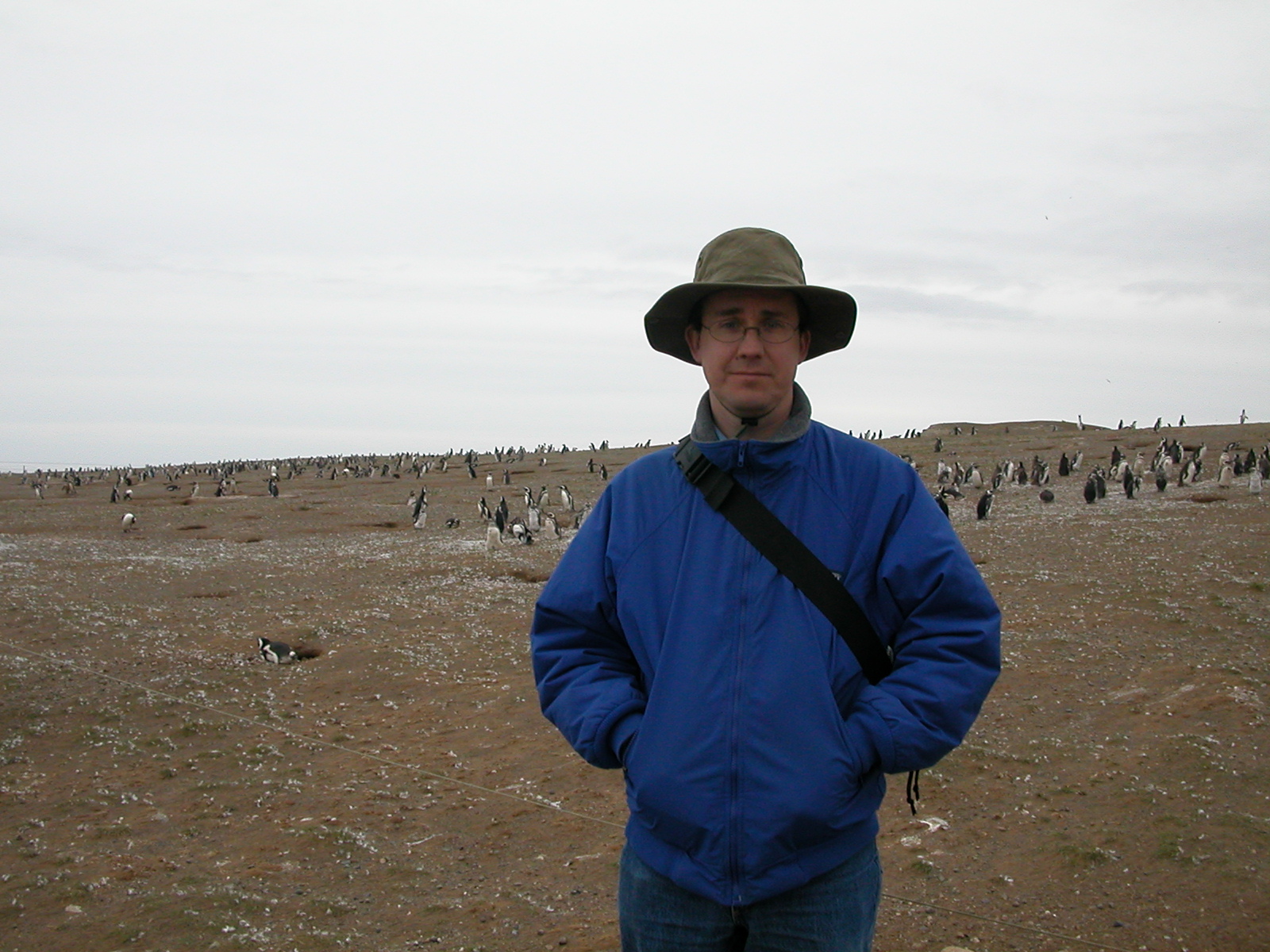
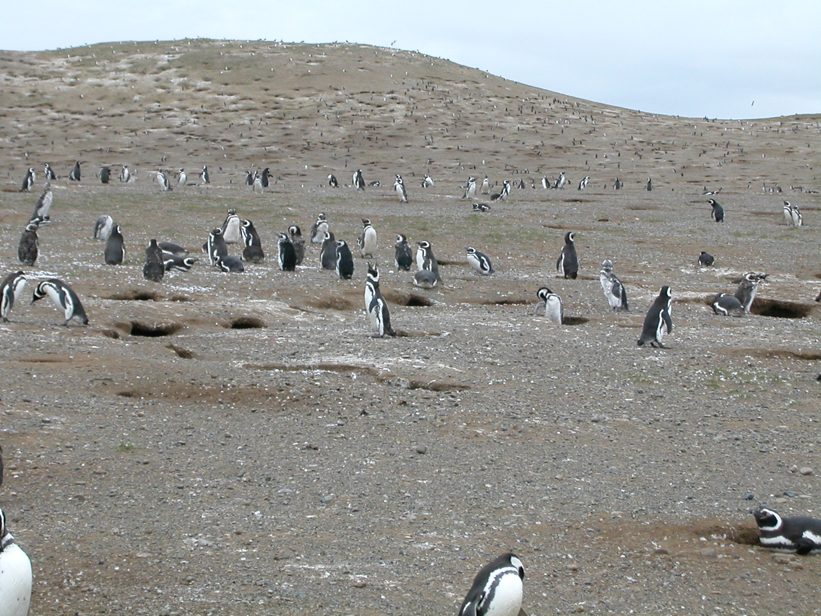
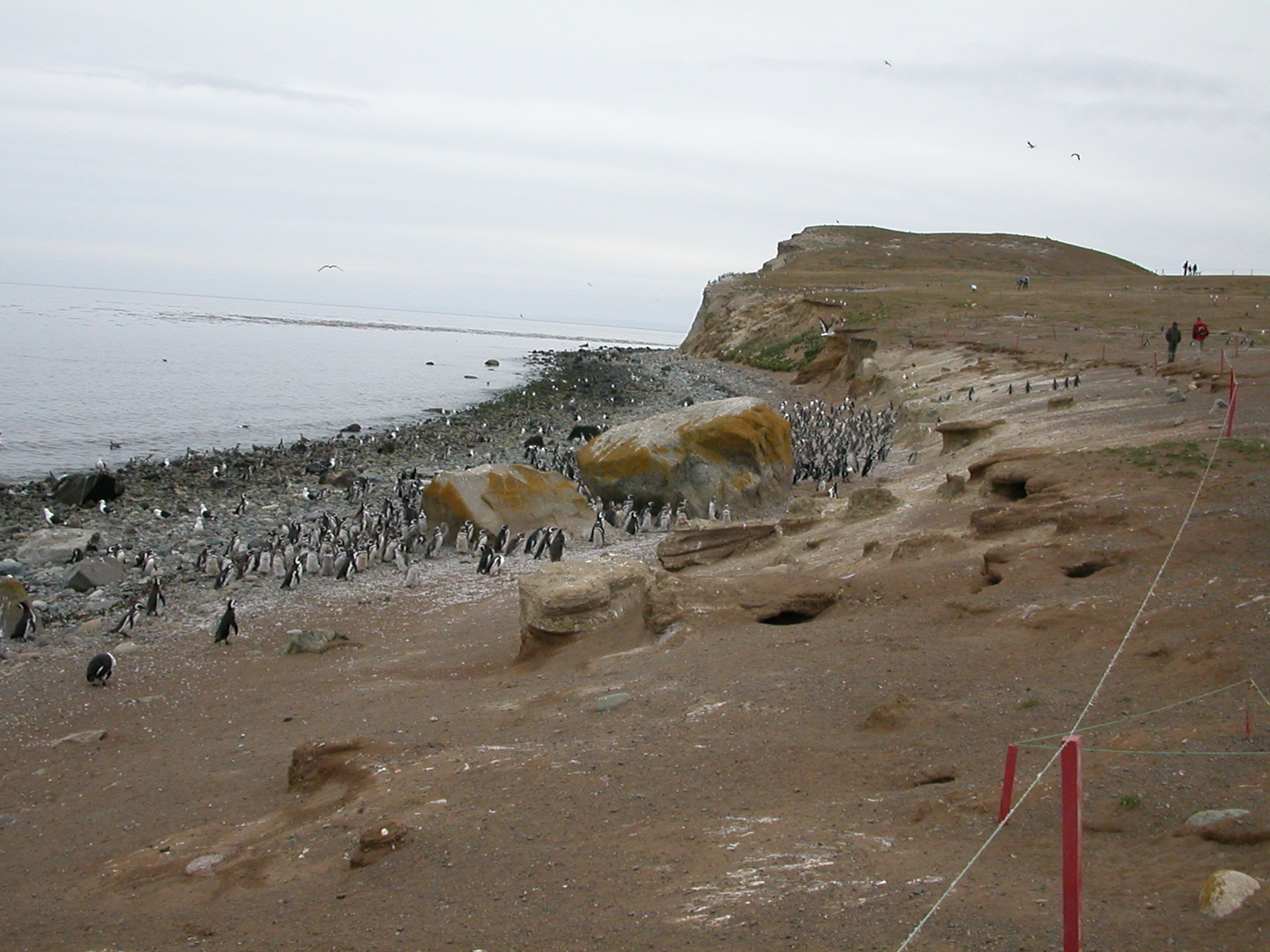
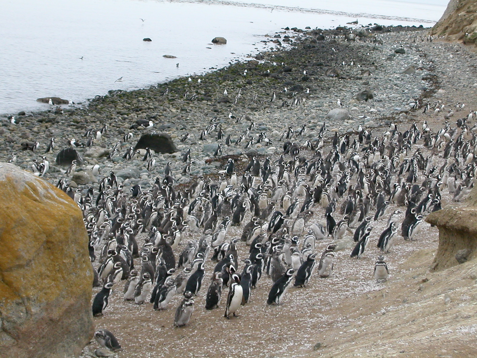
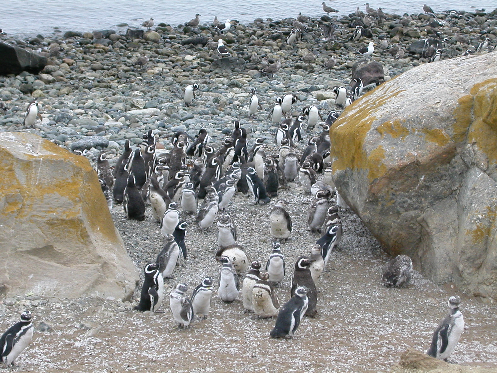
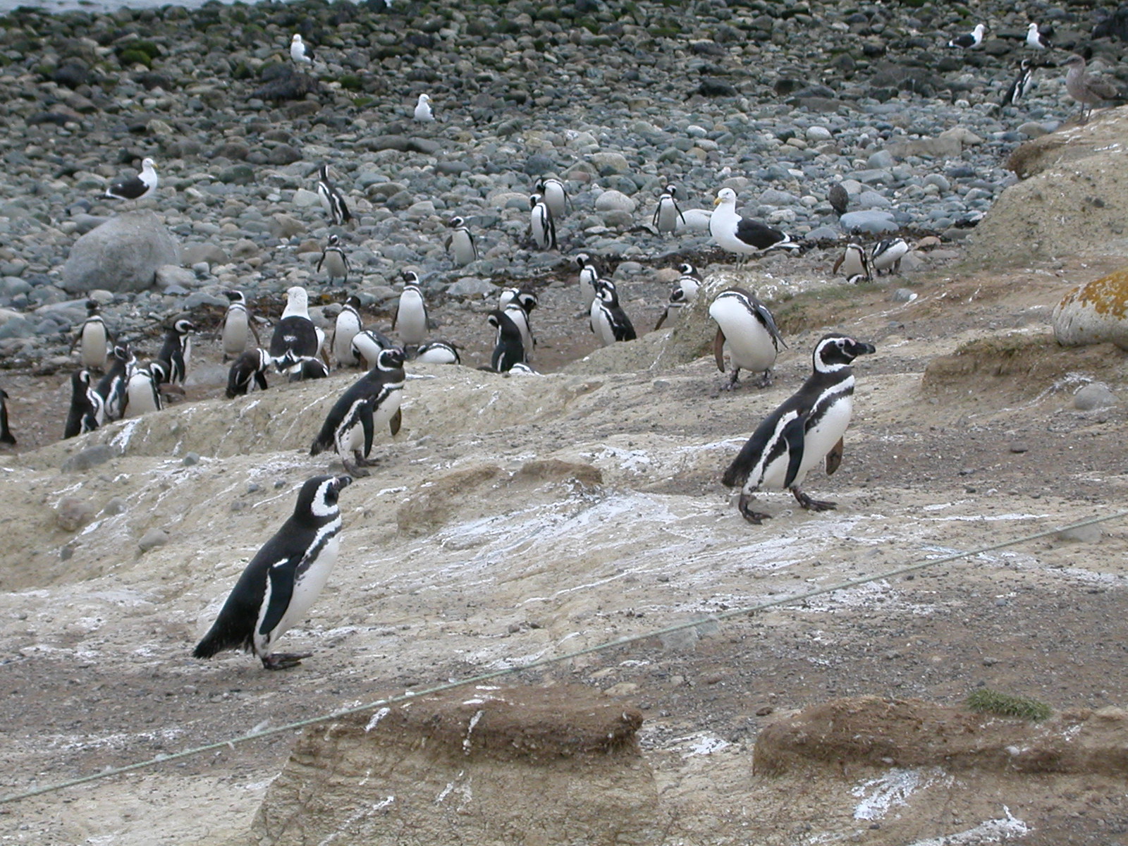
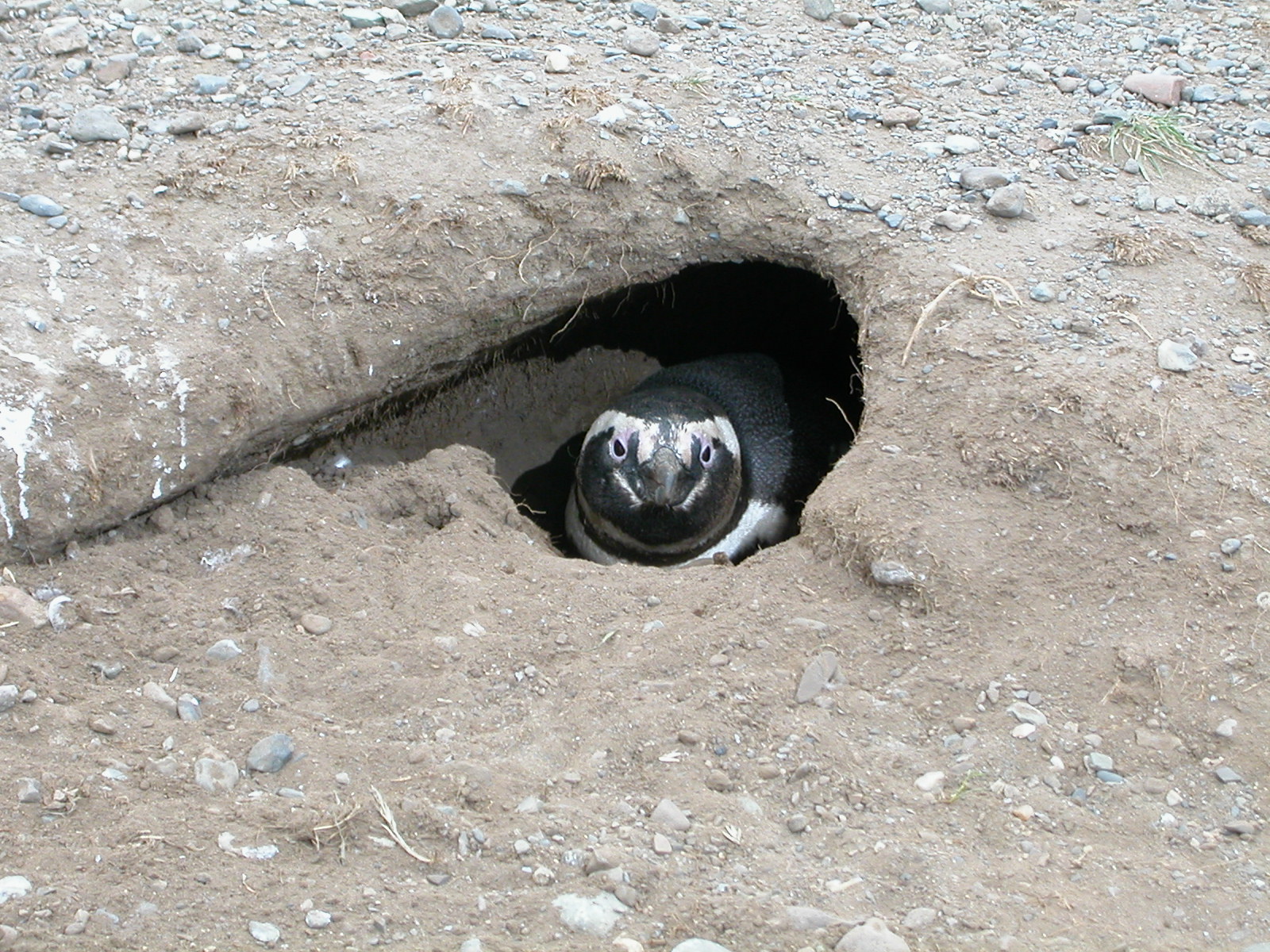
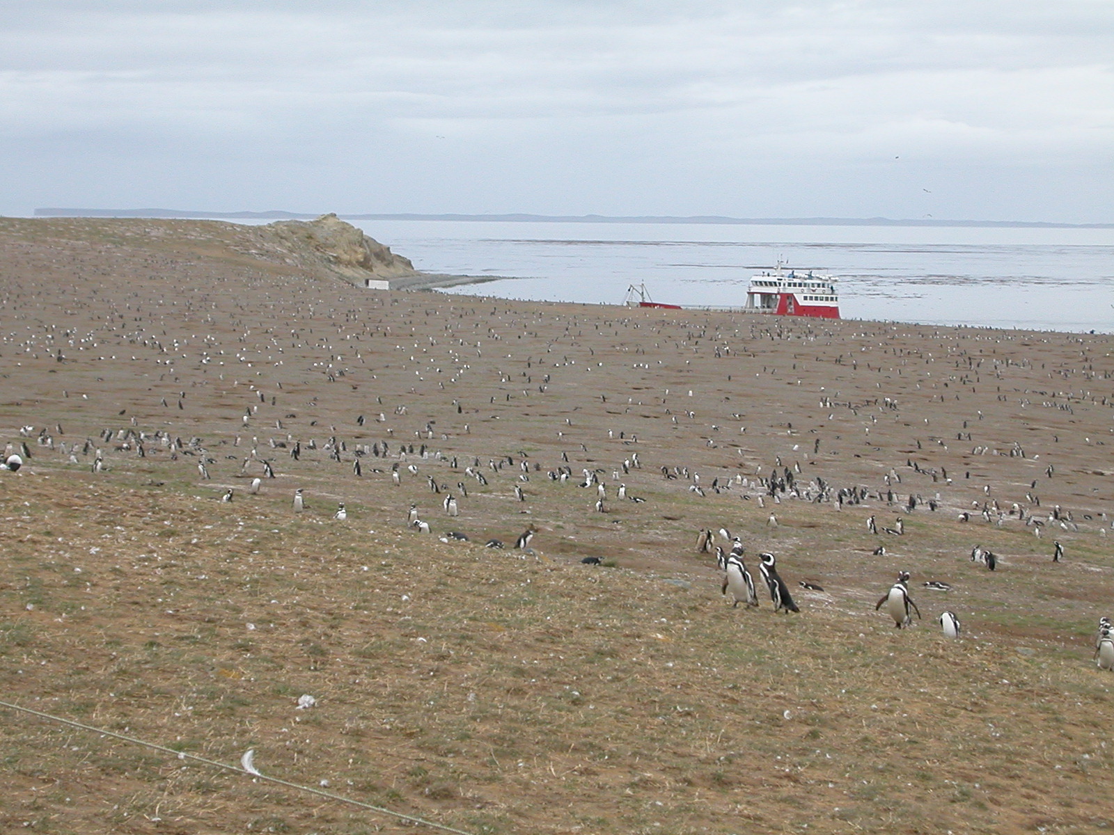
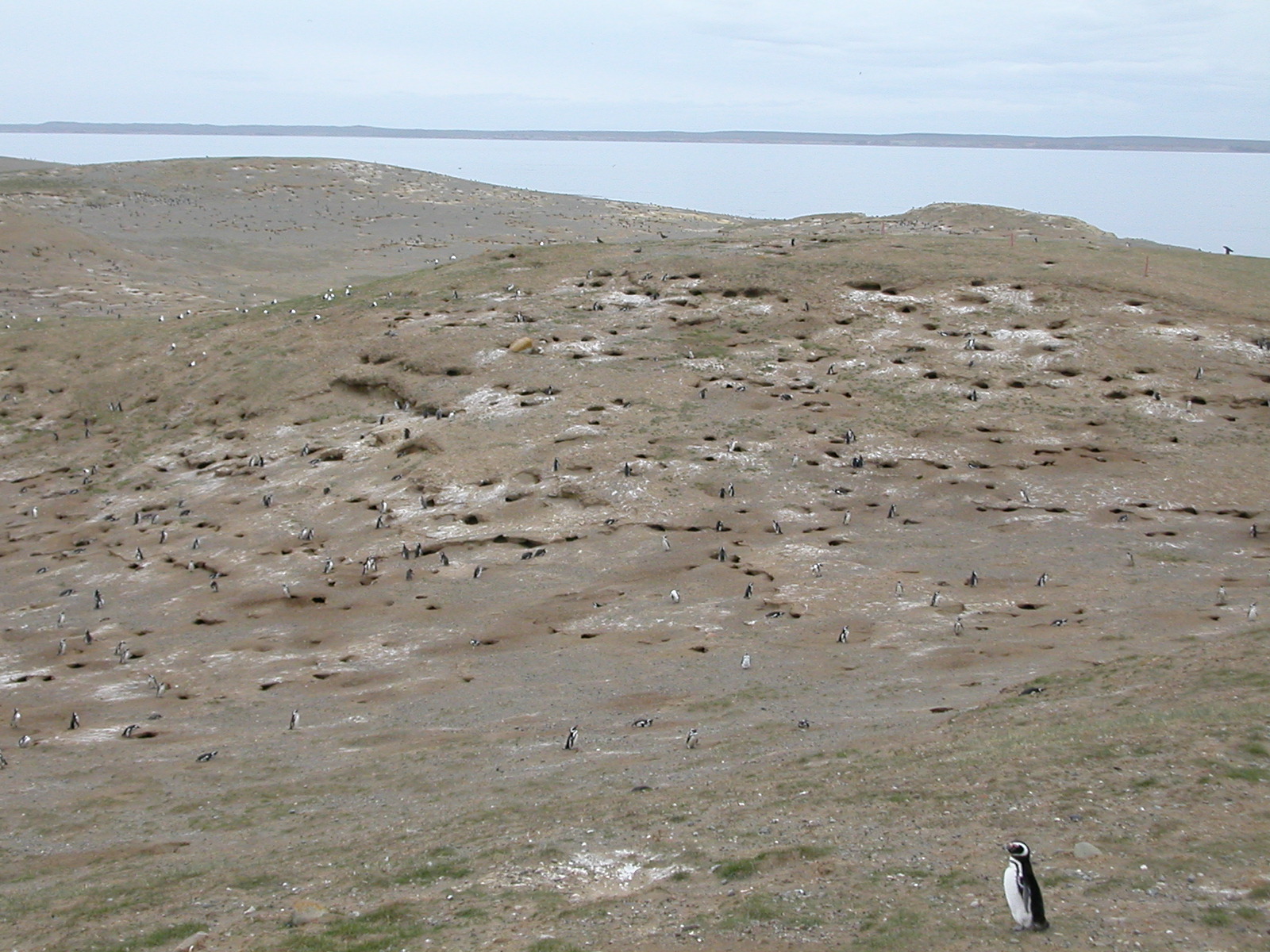
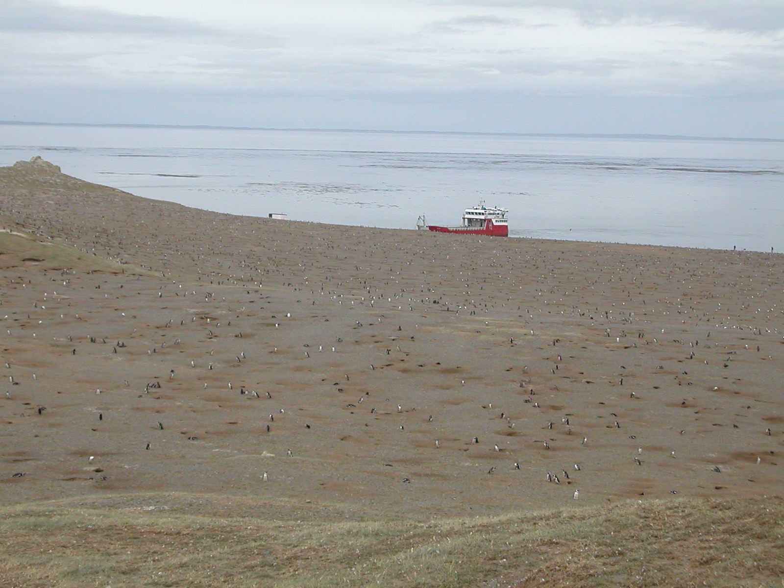
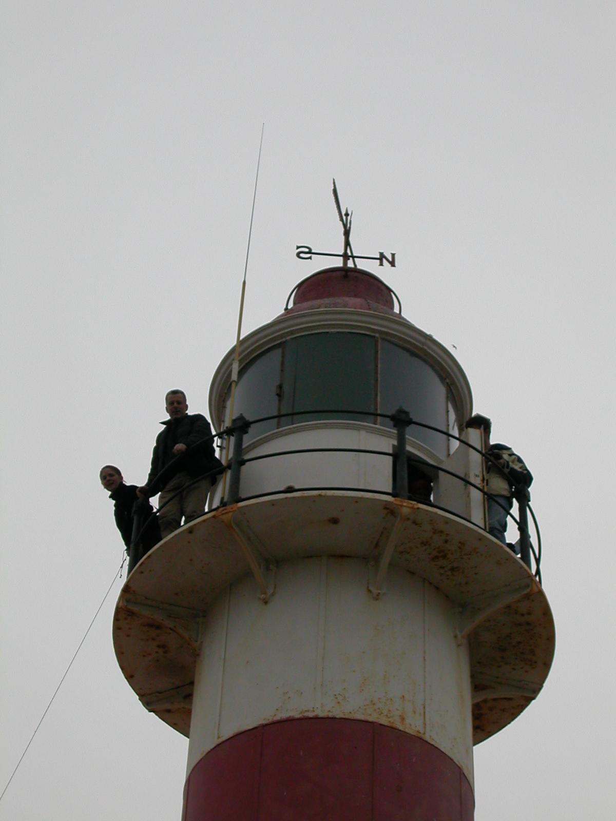
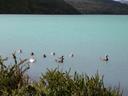
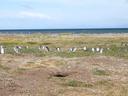
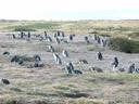
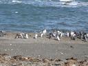
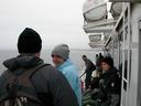
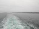
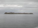
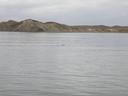
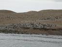
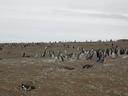
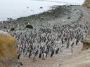
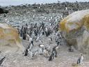
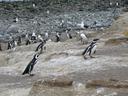
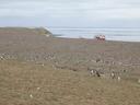
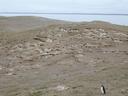
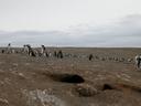
| Feb 13: Isla Magadlena Penguin Reserve (Straits of Magellan) |
| This is the largest nesting area of the
Magellanic penguin in the world. The island is home to about 60,000
nesting pairs, as well as nests of gulls and cormorants. At the time we
arrived, the juvenal penguins had shed their fluffy feathers and were
starting to learn to swim for the first time. The island is reached
by the ferry boat Malenka that runs 3 times a week for a 1 hour
stay at the reserve, which is run by the Chilean Forest Service (CONAF). |
| |

DSCN0455.jpg |
DSCN0456.jpg |
DSCN0457.jpg |
DSCN0458.jpg |
DSCN0459.jpg |
DSCN0460.jpg |
DSCN0461.jpg |
DSCN0462.jpg |
DSCN0463.jpg |
DSCN0464.jpg |
DSCN0465.jpg |

DSCN0466.jpg |
DSCN0467.jpg |
DSCN0468.jpg |
DSCN0469.jpg |
DSCN0470.jpg |
DSCN0471.jpg |
DSCN0472.jpg |
DSCN0473.jpg |
DSCN0474.jpg |
DSCN0475.jpg |
DSCN0476.jpg |

DSCN0477r.jpg |
DSCN0478.jpg |
DSCN0479.jpg |
|
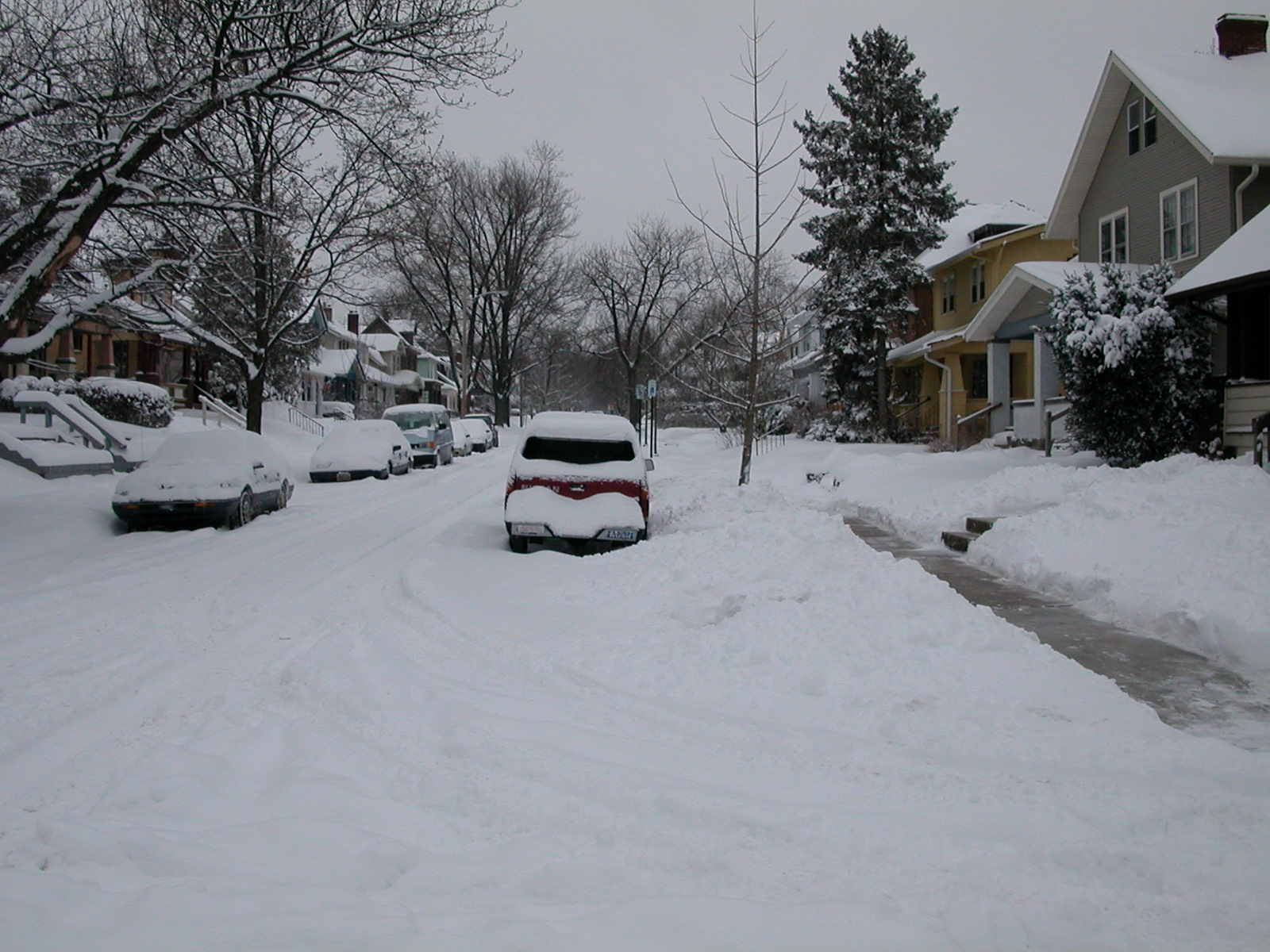
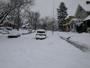
| Feb 16: Home to the snow... |
DSCN0481.jpg |